Please login or click here to join.
Forgot Password? Click Here to reset pasword
One of the loveliest features of Brampton is its octagonal Moot Hall, built by the Earl of Lancaster in 1817...

For over 1700 years this town occupied an important position on the Scottish-English border, few town's have experienced such turbulent times, but strangely Carlisle has little.....
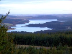
This small historic village lies at the northernmost edge of Kielder Water, it takes its name from the Kielder Burn the stream that links with the Deadwater Burn to form the North Tyne River...
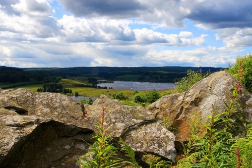
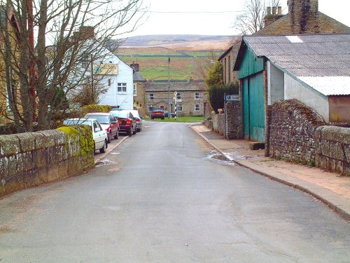
This is a picturesque village lying amongst sprawling open countryside criss crossed by dancing streams, tributaries of the River West Allen...
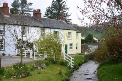
An old brewery stands beside the Caldbeck - a tribute to the cold clear waters which gave the village its name. Caldbeck, which means 'cold stream' in Old Norse, grew up where.....
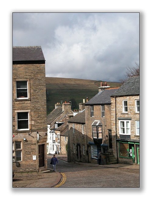
At a height of over 1,000 feet in the far reaches of the Pennines, this is one of England's highest market towns. Alston is a lively bustling place of steeply rising narrow.....
This delightful place can be found on the banks of the South Tyne River, it is also on the route of the arduous Pennine Way surrounded by numerous beauty spots. The village.....
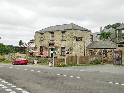
Nestling beside the sparkling River Nent, Nenthead lies on Alston Moor, in a lonely remote North Pennine Area of Outstanding Natural Beauty, between the pleasant market town of Alston and the Killhope lead mining museum...
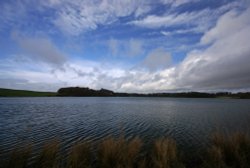
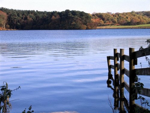
This lovely country park occupies a magical landscape close to the historic market town of Brampton. The icy waters forming the.....
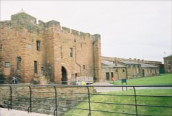
Set in the scenic surroundings on the northern outskirts of Carlisle, the castle built by William Rufus in the late 11th century.....
..
..
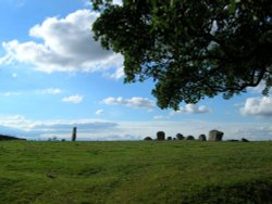
The 12 foot high mass of sandstone known as Long Meg can be found close to a circle of smaller "daughter" stones in a spectacular.....
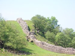
Wild and evocative remains of the Roman Empire's most northerly defences, with panoramic views. Roman barracks and some of the.....
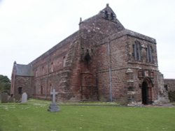
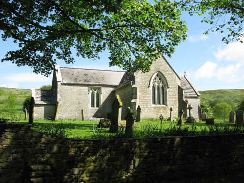
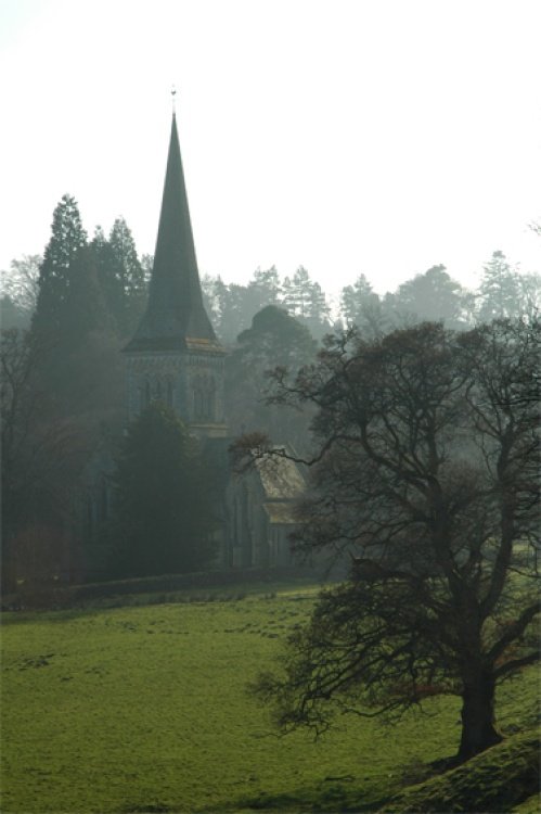
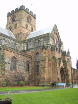
This was a Cistercian foundation of the 12th century of which the nave is now the parish Church of St.Mary, and although the.....
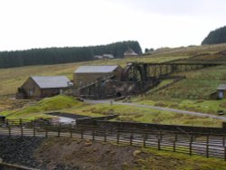
Killhope Lead Mining Museum keeps alive the counties lead mining traditions. This is a fully restored site of a working mine.....
..
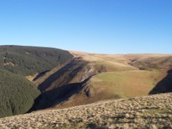
The clearly defined peaks of the glorious Cheviot Hills dominate the western side of the border territory as it juts boldly out.....
Follow PicturesOfEngland.com on social media and help share the beauty of England....