Please login or click here to join.
Forgot Password? Click Here to reset pasword
a Historic Market Town in the county of North Yorkshire
(3.8 miles, 6.1 km, direction E)..
in the county of North Yorkshire
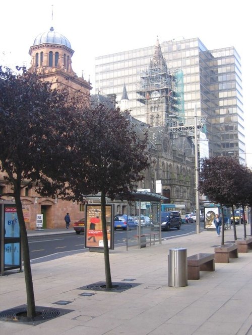
(4.2 miles, 6.7 km, direction NW)When today you look at the thriving metropolis of Middlesbrough it seems impossible to believe that less than two hundred years ago it was a tiny fishing village with a minute community, but it was...

a Seaside Town in the county of North Yorkshire
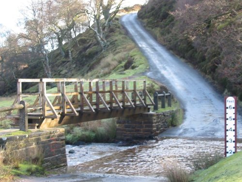
(7.0 miles, 11.3 km, direction E)A lovely winding road drops down from the valley above to this small seaside resort and fishing haven...
in the county of North Yorkshire
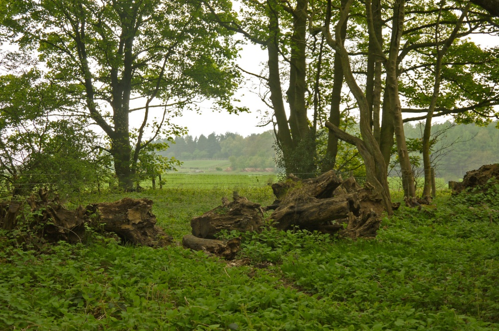
(9.7 miles, 15.7 km, direction SE)Nestling in the heart of the North Yorkshire Moors National Park, Westerdale affords the visitor wonderful views over the surrounding dales...
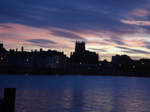
a Seaside Town in the county of County Durham
(10.2 miles, 16.4 km, direction N)This is an ancient seaport and county borough which merged with its Victorian neighbour, West Hartlepool in 1967...
All towns in North Yorkshire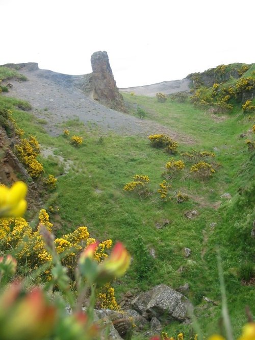
This lofty hillside is known as the Roseberry Topping, but affectionately called the "matterhorn" by locals, it lies on the.....
..
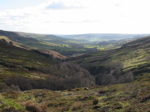
Historically this breathtakingly beautiful moors area was an industrial centre for ironstone mining during the 19th and early.....
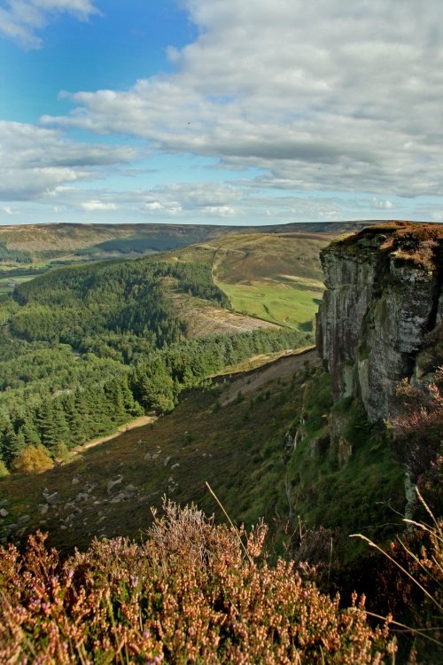
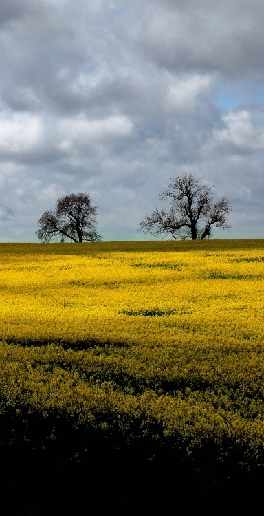
Many will tell you they have never seen the Yorkshire Moors, yet often you can catch a glimpse of this magical area simply by.....
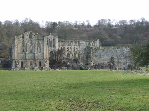
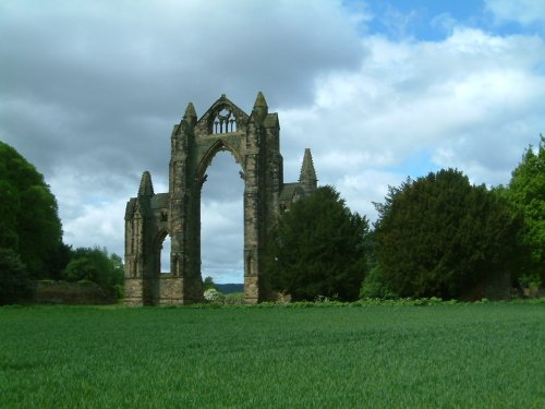
Rievaulx Abbey is situated on 15 acres in the valley of Rye approximately 3 miles from Helmsley in Northern Yorkshire and was.....
Follow PicturesOfEngland.com on social media and help share the beauty of England....