Please login or click here to join.
Forgot Password? Click Here to reset pasword
Kirk Merrington is a pretty, hilltop village overlooking the Wear Valley and the Cleveland Hills...
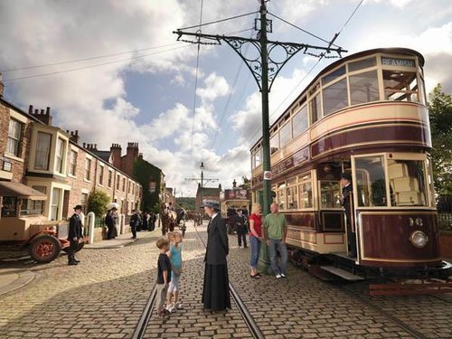
Beamish is famous for its lovely open-air museum which so vividly brings to life how the folk of the region lived at the turn of the 20th century...
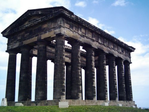
Penshaw lies in open countryside between the urban sprawl of Sunderland and Washington...

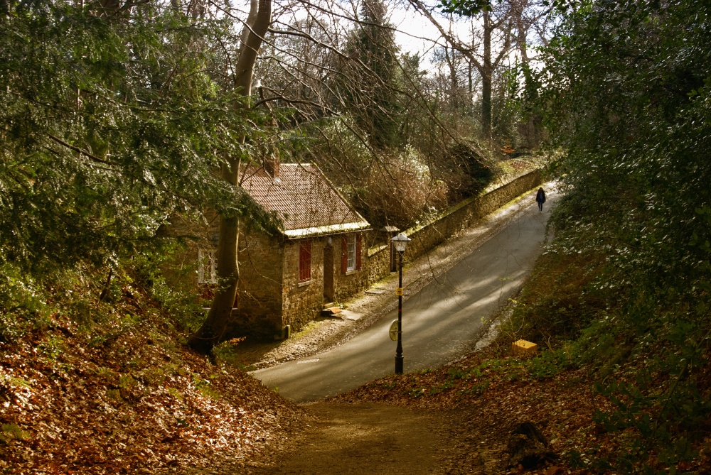
This was the busy social and commercial centre of the south-west Durham coalfield, but the town is actually much older than the Industrial Revolution, although that historic.....
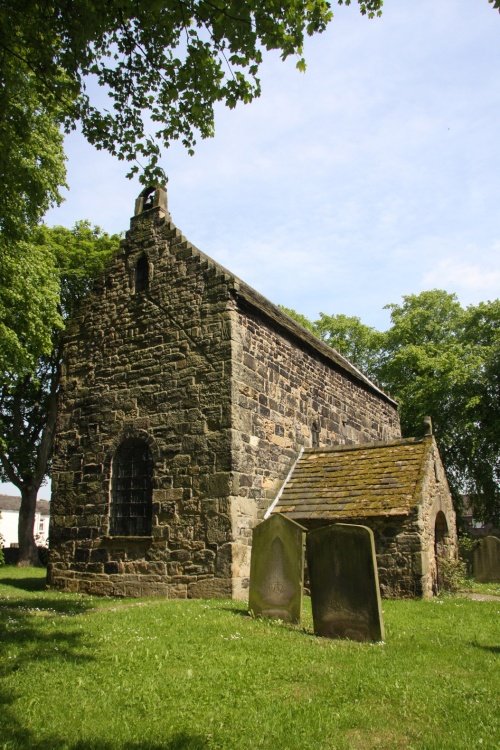
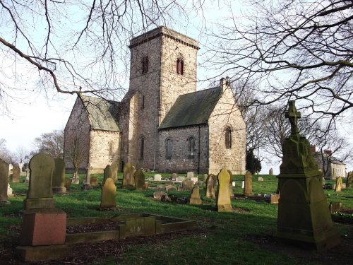
Lying in a prominent position ringed by the River Wear, Escomb is best known for its magnificent Saxon Church reputed to be built from stones brought from the near-by ruined Roman Fort at Binchester...
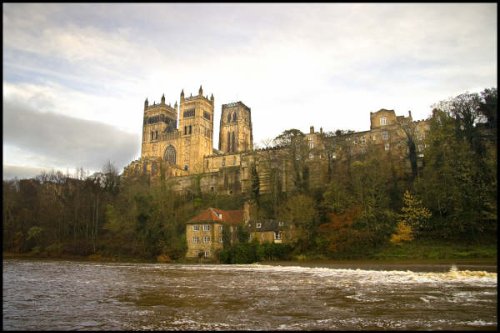
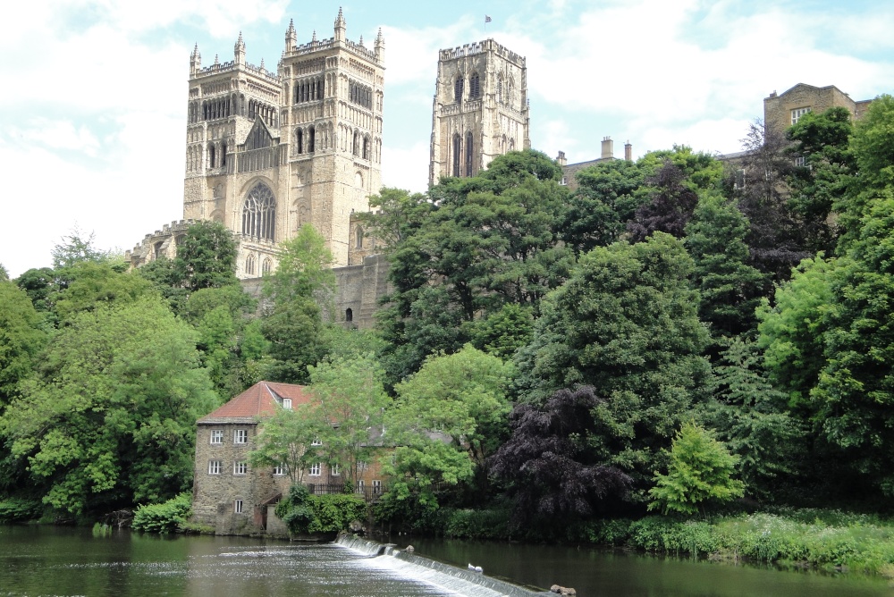
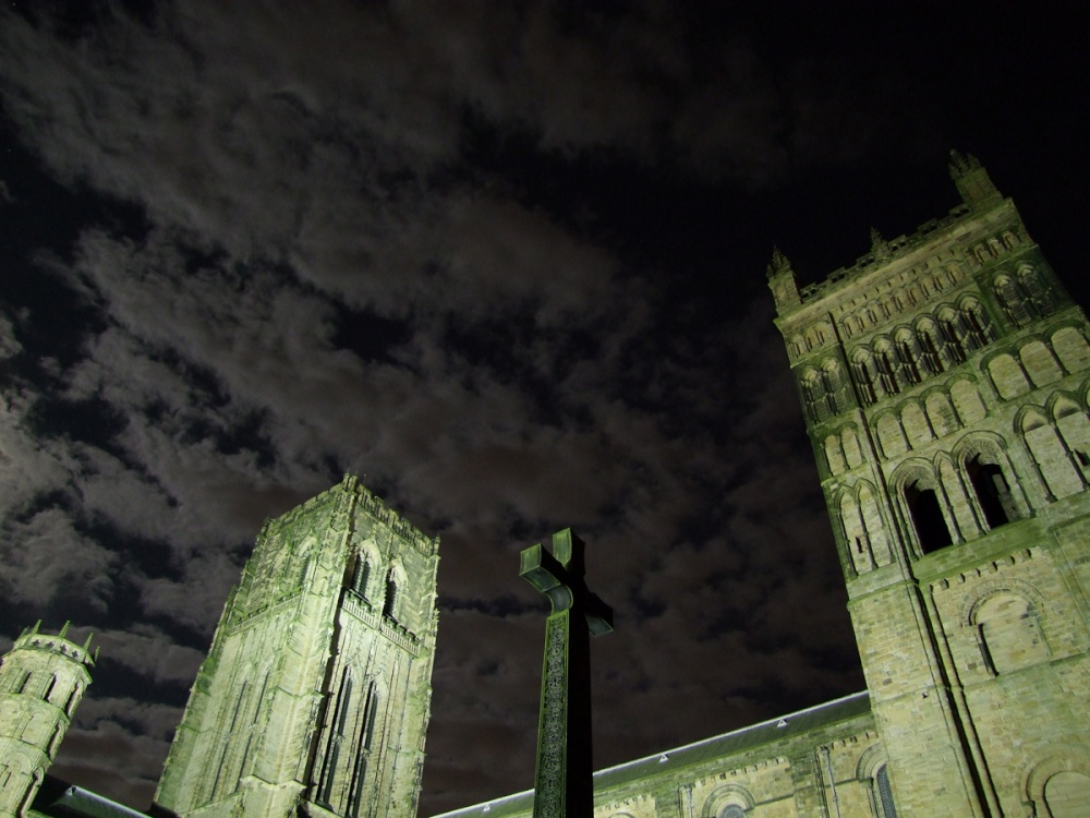
One of the finest buildings in the world. This huge cathedral which is third only to Canterbury and York in ecclesiastical.....
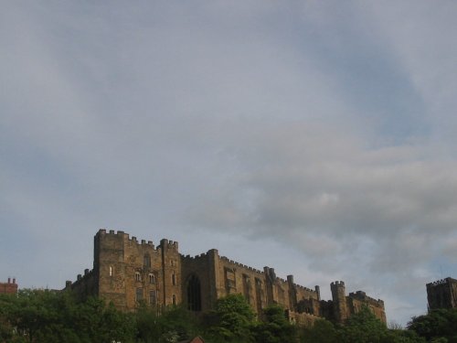
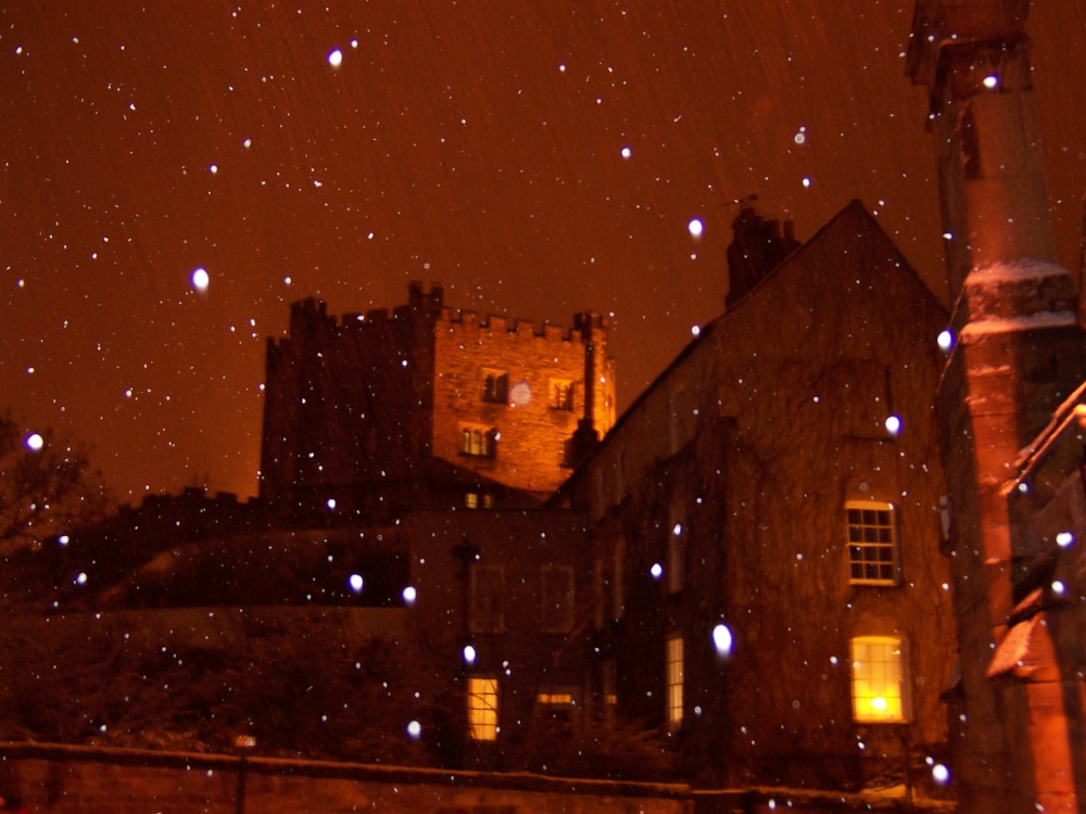
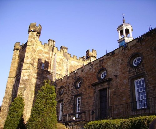
Durham Castle is another one of Durham's magnificent buildings. It was founded in 1072 and such was the impregnability of the.....
..
Beamish Museum lies in a basin of stunning countryside covering over three hundred acres. This is no ordinary museum, but an.....
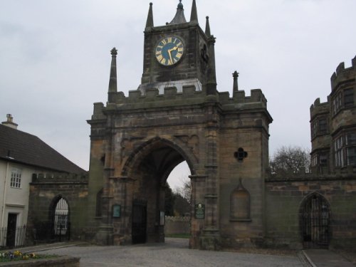
With its grand arch, Auckland Castle, also known as Auckland Palace or the Bishop's Castle, is the official residence of the.....
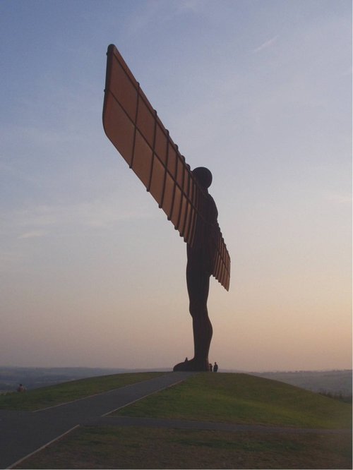
Britain's largest sculpture, The Angel of the North weighs in at 208 tonnes and stands 20 metres high. It was based on artist.....
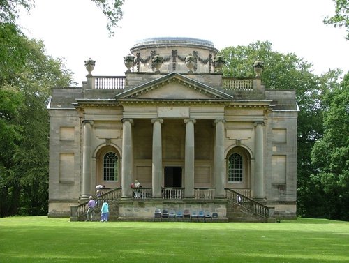
Gibside is famous for the sedate historic estate set at the heart of the outstandingly beautiful Derwent Valley. The estate was.....
Follow PicturesOfEngland.com on social media and help share the beauty of England....