Please login or click here to join.
Forgot Password? Click Here to reset pasword

in the county of Greater Manchester
(4.6 miles, 7.3 km, direction SW)Audenshaw is a suburb of Greater Manchester. It is probably best known for its reservoirs and the busy waters of the Ashton canal, beside which visitors can see clusters of delightful canal-side properties...
in the county of West Yorkshire
(7.6 miles, 12.2 km, direction NE)Marsden offers visitors a wealth of heritage, particularly in association with the town's expansion which came about during the heady days of the Industrial Revolution...
in the county of Greater Manchester
(7.7 miles, 12.5 km, direction S)Marple has many splendid canal features from the past, these include a flight of 16 locks and a three arched aqueduct which takes the Peak Forest canal over the River Goyt...
a Historic City in the county of Greater Manchester
(9.2 miles, 14.8 km, direction W)A thriving truly cosmopolitan city with a great mixture of new and old. The capital of the north..
in the county of West Yorkshire
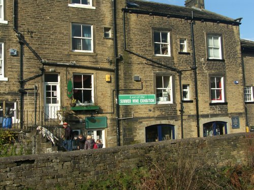
(11.0 miles, 17.7 km, direction NE)This is a place that will forever be associated with the gentle, romantic comedy "Last of the Summer Wine" which has graced our TV screens for more than a quarter of a century...
All towns in Greater Manchester
..
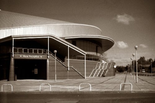
Manchester Velodrome Britains primary indoor Olympic cycle track and widely regarded as one of the world's finest and fastest.....
Marsden Moor was gifted to the National Trust in 1955 by Captain Sir Joseph Benedict Everard Henry Radcliffe in lieu of death.....
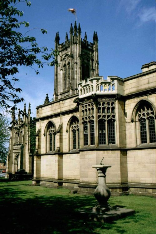
Manchester's fine 15th-century church of St.Mary was raised to cathedral status in 1848. It is a magnificent example of.....
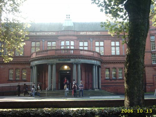
Internationally famous for its collections of art and design, the Whitworth Art Gallery in Manchester, north west England, is.....
Follow PicturesOfEngland.com on social media and help share the beauty of England....