Please login or click here to join.
Forgot Password? Click Here to reset pasword
Beautiful wooded valley with 19th-century Gibson Mill at its heart, an exemplar of sustainable energy.
This is the flagship sustainable property of the National Trust, offering 18 miles of stunning walks around tumbling rivers and cascading waterfalls.
A new surprise for every season.
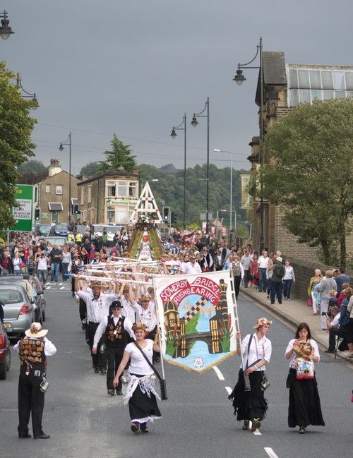
a Historic Market Town in the county of West Yorkshire
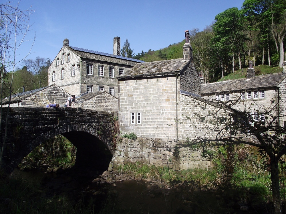
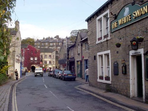
(1.5 miles, 2.4 km, direction SE)This beautiful old town grew up close to the River Hebden at the point where a stone bridge was built as part of a pack-horse route in the 16th century...
in the county of West Yorkshire
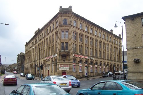
(4.3 miles, 7.0 km, direction SW)Todmorden lies on the historic border between Yorkshire and Lancashire in an area of the Calder Valley ringed by the hills of the Pennines...
a Picturesque Village in the county of West Yorkshire
(5.7 miles, 9.1 km, direction NE)Haworth is famous the world over for its connections with the Bronte sisters, the famous novelists...
in the county of West Yorkshire
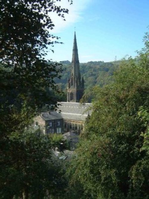
(6.1 miles, 9.8 km, direction SE)Surrounded by the dramatic scenery of the South Pennines, with the town's gentle scenery being enhanced by the River Calder and the River Ryburn on which the town stands...
in the county of West Yorkshire
(7.4 miles, 11.9 km, direction E)Halifax is an industrial city close to the famous Pennines and the route of the Pennine Way in what is known as Yorkshire's "Bronte" country...
All towns in West Yorkshire
..
..
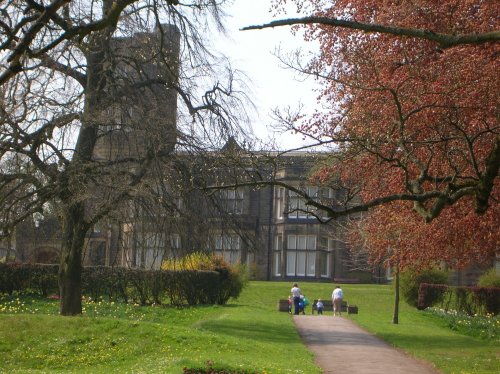
The approach to Cliffe Castle Museum, gives the visitor little hint of the amazing treat in store, for awaiting is a magnificent.....
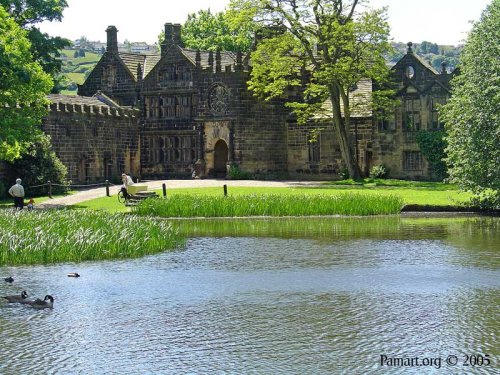
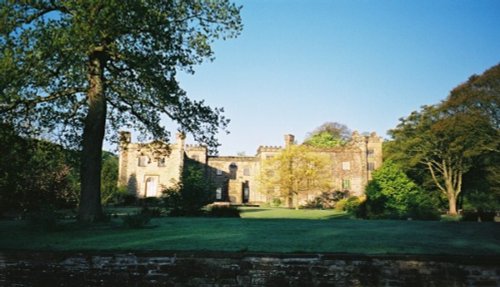
For a glorious day out amongst spectacular countryside where you get an evocative glimpse into the past there are few properties.....
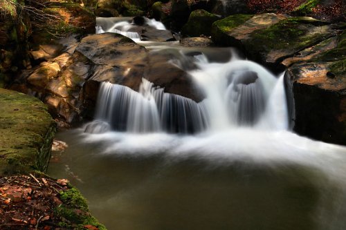
Healey Dell Nature Reserve on the Whitworth - Rochdale border, sits in a picturesque part of the Spodden Valley. Rich with flora.....
Follow PicturesOfEngland.com on social media and help share the beauty of England....