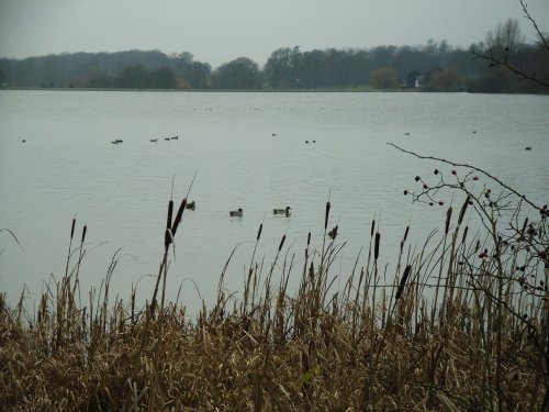
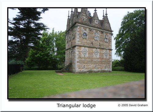
If you would like to add a description of Kelmarsh, please use our Kelmarsh forum here. To upload your Kelmarsh photography and create your very own 'Pictures of England Gallery', click here or here to join the site and become part of the Pictures of England community, or simply see below for nearby recommended towns, attractions, and Kelmarsh accommodation.
Hidden amongst leafy lanes and glorious poppy fields of the undulating Northamptonshire countryside, lies the peaceful village of Guilsborough...
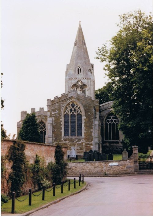
Picturesque village straddling the banks of the River Avon...
Easter Monday sees the villages of Hallaton and Medbourne engaged in a riotous 'bottle kicking' contest which is said to have pagan origins...
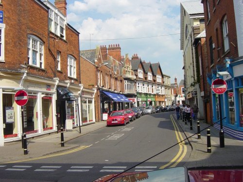
The landscape of Northampton is dotted with reminders of its illustrious history. Despite the great fire of 1675 when much of Northampton was destroyed, it was rebuilt in such a.....
This town is the home of Rugby public school, the place where William Webb Ellis carried the ball instead of kicking it, and thus, in 1823 the game of Rugby football was born...
..
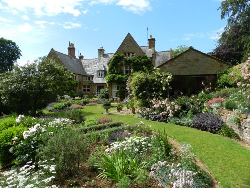
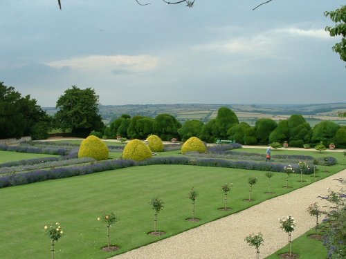
"This is a beautifully maintained garden of exceptional charm...there is something for everyone here. This garden could not fail.....
..
..
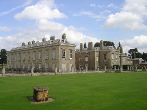
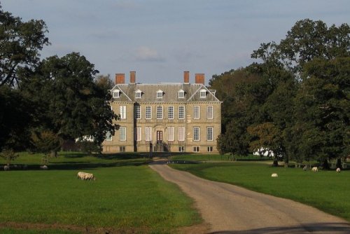
Althorp (said Althrup) has been in the Spencer family since 1508. It has undergone many major changes over the generations and.....
..
..