Please login or click here to join.
Forgot Password? Click Here to reset pasword


This is an attractive village lying at the heart of a landscape made famous in the TV series "All Creatures Great and Small"...

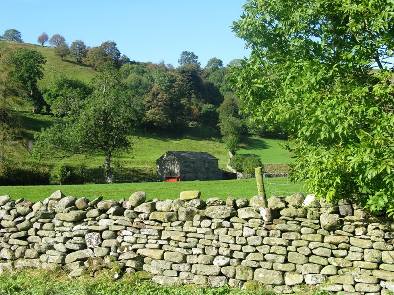
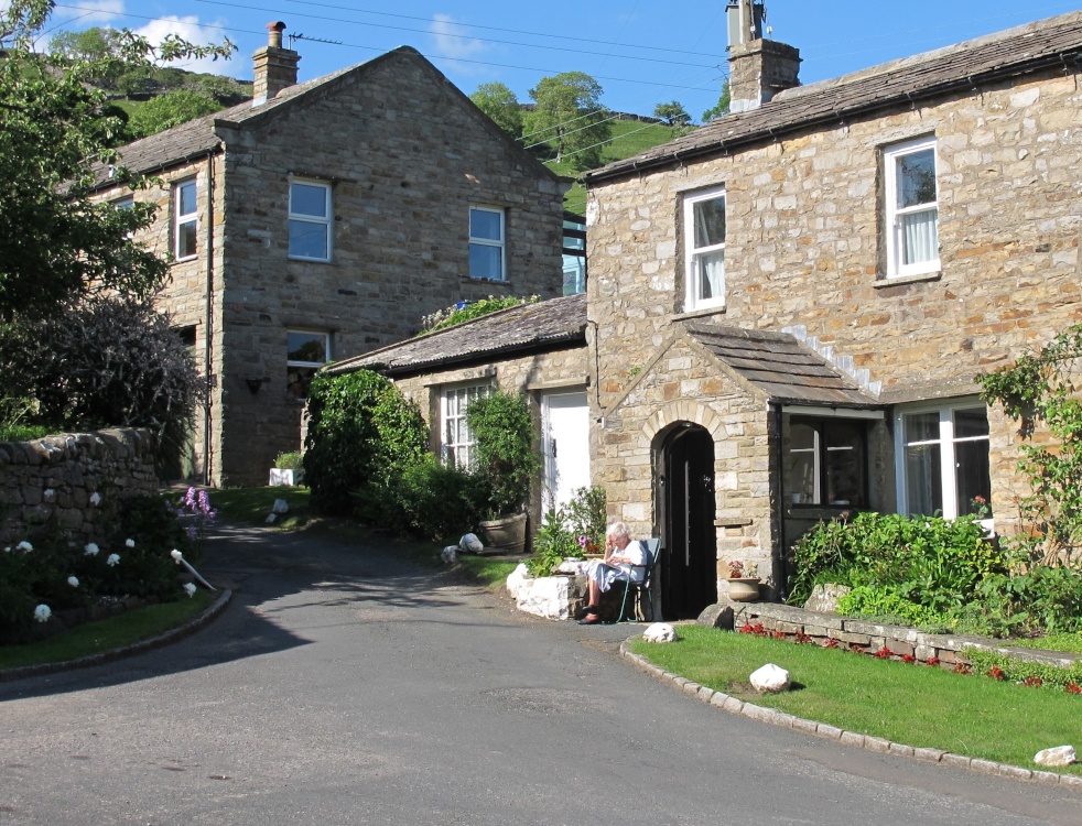
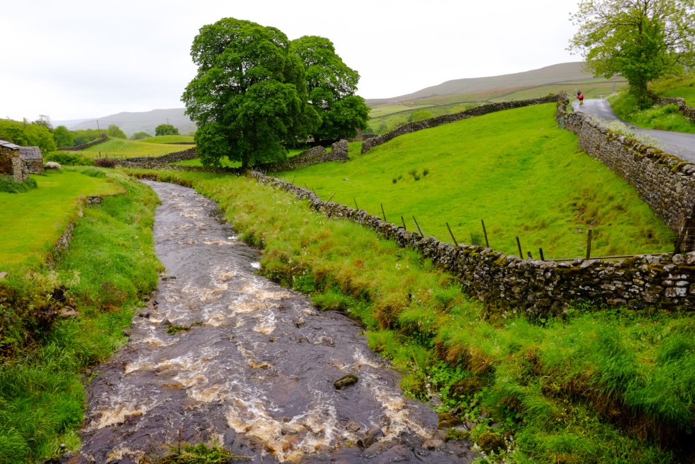
Bainbridge is the epitome of a typical Dales village, it comprises of picturesque old stone cottages, with a lively, well quarried stream running through it...
This is a thriving, friendly market town at the heart of Wensleydale, it shows beautiful old stone properties, quaint shops, galleries, craft workshops and cafe's arranged around winding cobbled streets...

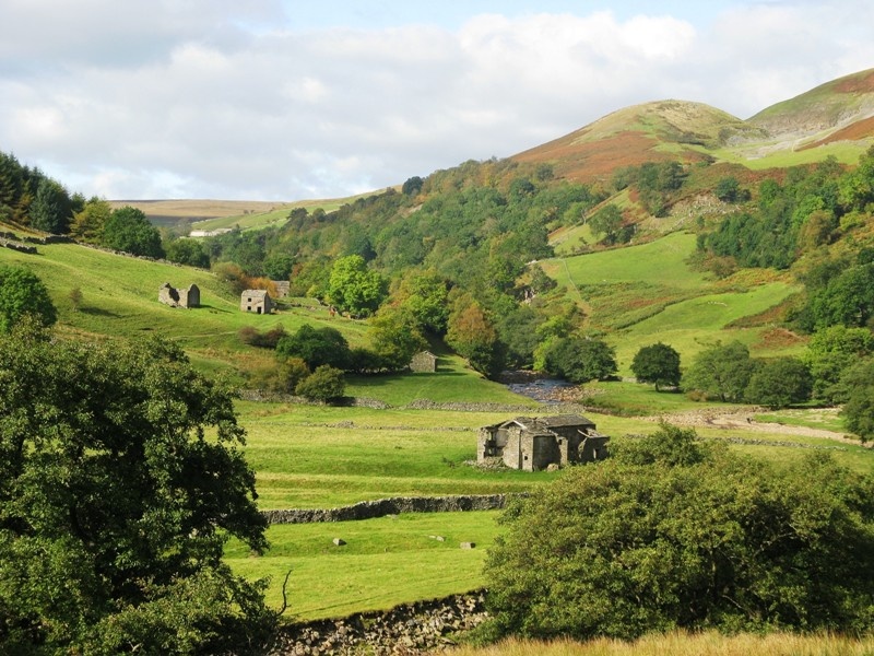
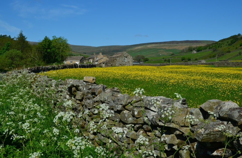
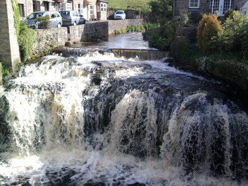
The picturesque village of Gayle is found amidst the glorious scenery of the Yorkshire Dales National Park. It is on the passage of the Pennine way, close to Hawes and the National Park Centre...
..
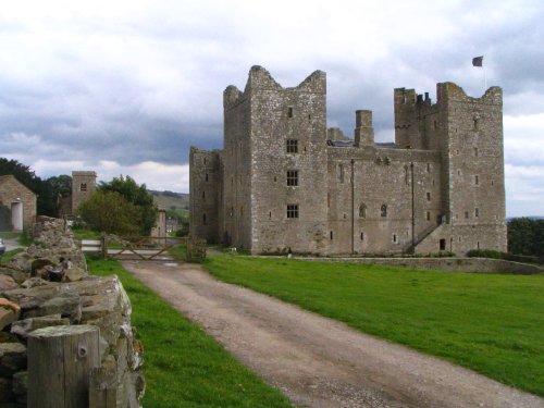
On a misty morning the ruined crenulated towers of Bolton Castle take on an eyrie aura and it is easy to imagine what this once.....
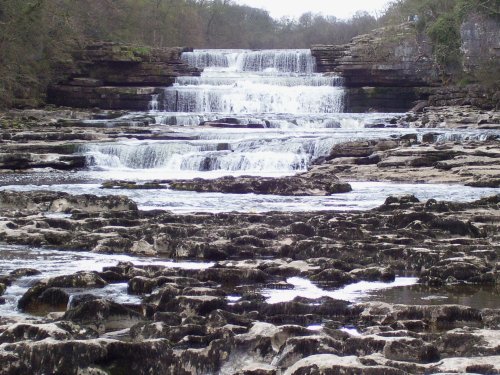
These magnificent falls, although not the highest in the land are certainly one of the most picturesque sights in Yorkshire. The.....

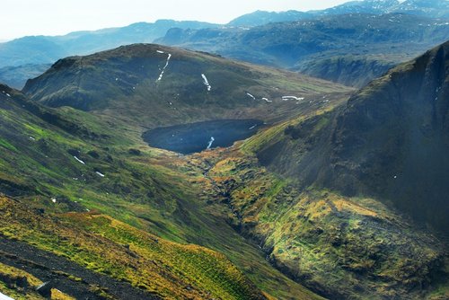
The unyielding screach of a curlew from the skies above, is often the only sound heard in the far upland reaches of the lonely.....
..
This historic town is a picturesque centre for discovering the delights of Teesdale. The town occupies a clifftop site above.....
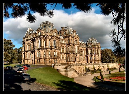
Josephine Bowes, wife of John Bowes was a Parisian actress, and perhaps this shows in the choice of building they chose as a.....

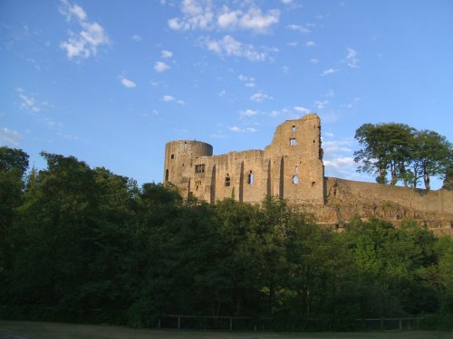
Picturesque, ruinous castle, which was said to be the favourite home of Richard III. It was built in 1170 by Richard Neville,.....
Follow PicturesOfEngland.com on social media and help share the beauty of England....