Please login or click here to join.
Forgot Password? Click Here to reset pasword
If you would like to add a description of Lothersdale, please use our Lothersdale forum here. To upload your Lothersdale photography and create your very own 'Pictures of England Gallery', click here or here to join the site and become part of the Pictures of England community, or simply see below for nearby recommended towns, attractions, and Lothersdale accommodation.
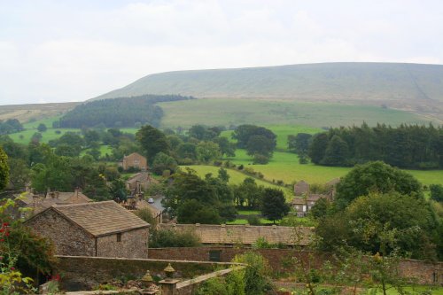
Long considered "The Gateway to the Dales" which lye to the north, moors extend southwards, and the tranquil countryside of the Ribble Valley is to the west...
Haworth is famous the world over for its connections with the Bronte sisters, the famous novelists...

The Bolton Abbey Estate covers 30,000 acres of beautiful countryside in the Yorkshire Dales.There are medieval buildings to explore and 80 miles of moorland, woodland and riverside footpaths...
Harden lies in the famous countryside area between Cullingworth and Bingley surrounded by rivers and meadows. It is a favoured commuter base for those working in nearby Bradford...
..
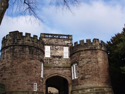
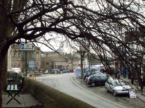
Apart from it's historic church, Skipton Castle is the town's premier attraction. This is located where the High Street fans out.....
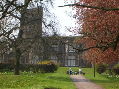
The approach to Cliffe Castle Museum, gives the visitor little hint of the amazing treat in store, for awaiting is a magnificent.....
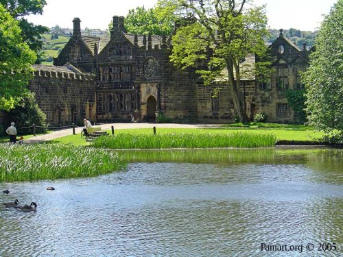
For a glorious day out amongst spectacular countryside where you get an evocative glimpse into the past there are few properties.....
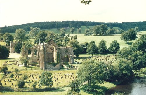
Beautiful remains of an Augustinian Priory in a picturesque position on the banks of the river Wharfe, North Yorkshire. Well.....
..
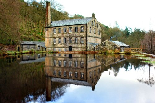
Beautiful wooded valley with 19th-century Gibson Mill at its heart, an exemplar of sustainable energy. This is the flagship.....
..
Follow PicturesOfEngland.com on social media and help share the beauty of England....
