Please login or click here to join.
Forgot Password? Click Here to reset pasword
If you would like to add a description of Forest Lane Head, please use our Forest Lane Head forum here. To upload your Forest Lane Head photography and create your very own 'Pictures of England Gallery', click here or here to join the site and become part of the Pictures of England community, or simply see below for nearby recommended towns, attractions, and Forest Lane Head accommodation.
This attractive market town lies in the high reaches of Yorkshire above Harrogate. It is overlooked by the peaceful waters of the River Nidd which is spanned by a magnificent.....
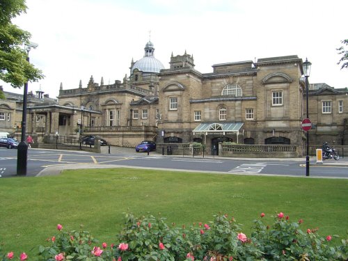
One of the chief town's in Yorkshire's old West Riding, Harrogate acheived early fame as a Spa resort...
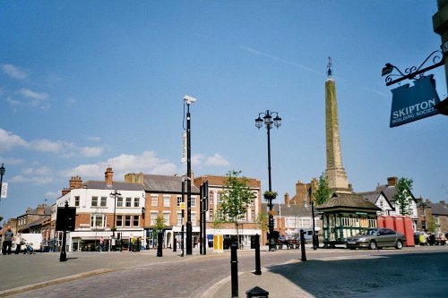
Every night Ripons market square is the scene of a 1,000 year old custom when the city Wakeman blows his horn...
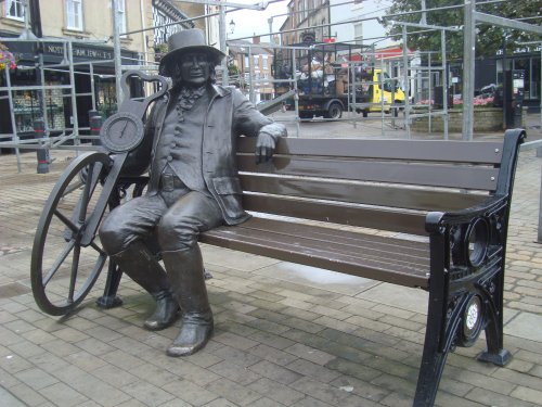
Otley is a beautiful old town with attractive buildings in medieval courts and alleyways and a lovely parish church that dates back to Norman times...
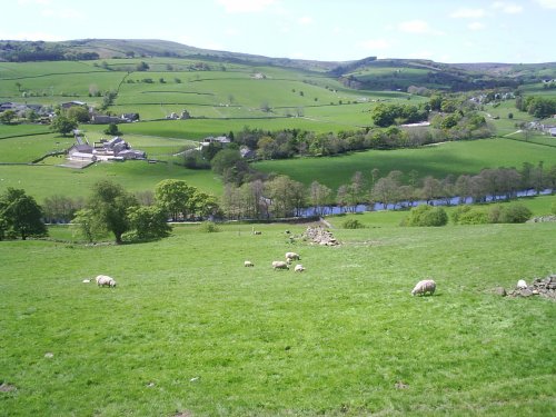
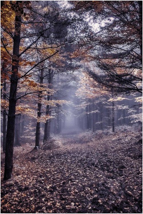
An attractive market town on the river Nidd, set within an Area of Outstanding Natural Beauty. Twice winner of 'Britain in Bloom' and home to the oldest sweet shop in Britain......
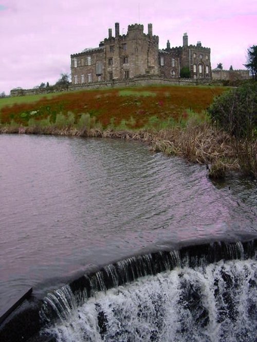
Ripley Castle was built more than 700 years ago, it was originally built as the home of the Ingilby family and has remained so.....
..
..
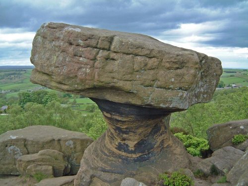
At a height of nearly 300m, Brimham Rocks give spectacular views over the surrounding countryside of the Nidderdale. . The.....
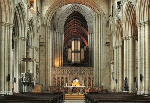
The present Cathedral at the heart of Ripon is built upon the spot of a monastery founded by Bishop Wilfrid of York in the year.....
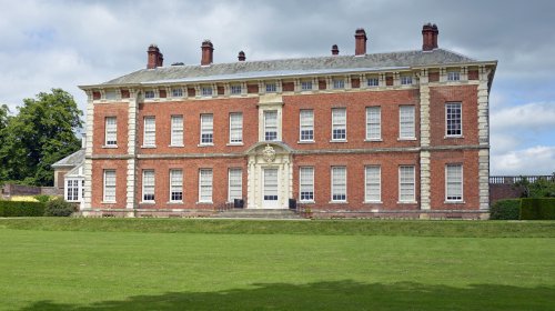
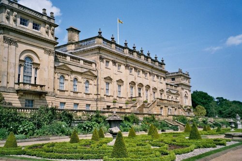
18th-century house with interactive galleries and National Portrait Gallery paintings. Grounds and working walled garden...
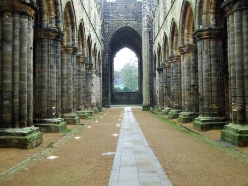
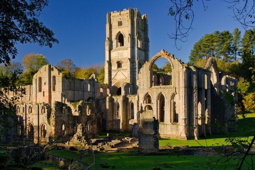
Kirkstall Abbey is one of Yorkshire's finest ruined Cistercian abbey's. It was founded in the 12th-century from which much of.....
Follow PicturesOfEngland.com on social media and help share the beauty of England....
