Please login or click here to join.
Forgot Password? Click Here to reset pasword
in the county of Lincolnshire
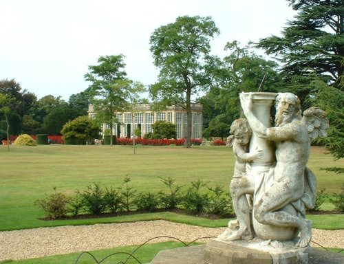
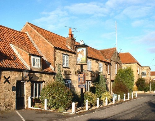
(1.0 miles, 1.7 km)The popular village of Belton lying north of Grantham is home to magnificent Belton House. It is also a typical "Estate" village which perfectly epitomises all the values of English country life...
a Historic Market Town in the county of Lincolnshire
(2.0 miles, 3.2 km, direction S)This delightful town, set on the River Witham in a spacious agricultural region is noted for many historic factors but more latterly as the birthplace of Britains first woman Primne Minister - Margaret Thatcher was born here in 1925 and she became Prime Minister in 1979...
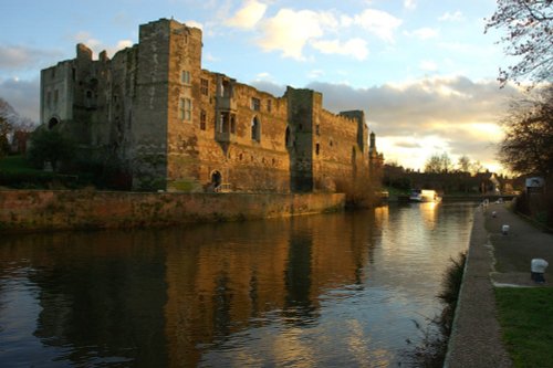
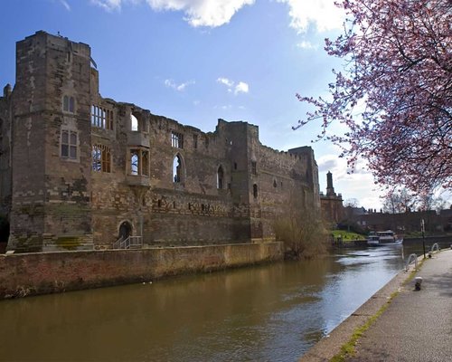
a Historic Market Town in the county of Nottinghamshire
(11.4 miles, 18.4 km, direction NW)As it's name implies, this town enjoys a fine position on the River Trent. The great castle where King John died in 1216 lies in ruins on the banks of the river...

a Historic Market Town in the county of Leicestershire
(15.8 miles, 25.4 km, direction SW)An historic market town famous for its Pork packed pies and Stilton cheeses, both are savoured all over Britain and in many other countries...
in the county of Lincolnshire
(16.3 miles, 26.2 km, direction N)Waddington is a bustling town, its modern day history forever linked to the R.A.F of which it is justifiably proud. It's annual air show is a major event on the yearly calendar and is attended by people from all over England...
All towns in Lincolnshire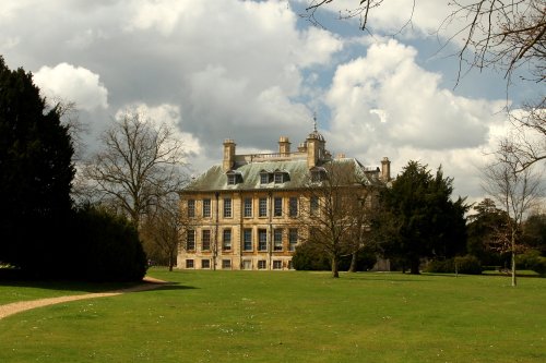
Belton is the perfect example of a home belonging to an English country gentleman, and yet it is a delightful Anglo-Dutch.....
A castle has stood on this spot since the 11th-century, it was built by Robert de Todini, standard-bearer to William the.....
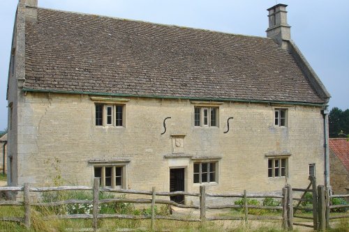
Called a manor but in reality this is the farmhouse where Isaac Newton was born in 1642. The house remains very much during.....
The romantic ruins of this once glorious castle were left to fall into further disrepair following the ravages of the English.....

..
Follow PicturesOfEngland.com on social media and help share the beauty of England....