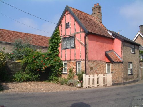
Southwell, surrounded by lovely open countryside, offers an interesting choice of guest accommodation and has a good range of shops, inns and restaurants...
The popular village of Belton lying north of Grantham is home to magnificent Belton House. It is also a typical "Estate" village which perfectly epitomises all the values of English country life...

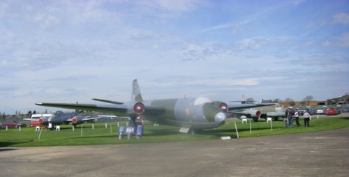
Waddington is a bustling town, its modern day history forever linked to the R.A.F of which it is justifiably proud. It's annual air show is a major event on the yearly calendar and is attended by people from all over England...
This delightful town, set on the River Witham in a spacious agricultural region is noted for many historic factors but more latterly as the birthplace of Britains first woman Primne Minister - Margaret Thatcher was born here in 1925 and she became Prime Minister in 1979...
This is a large village lying around three miles from Lincoln which is fringed by the Fosdyke Navigation. Visitors will find a few shops, pubs and an interesting Anglican church...
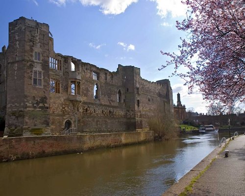
The romantic ruins of this once glorious castle were left to fall into further disrepair following the ravages of the English.....
..
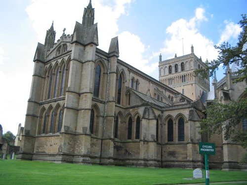
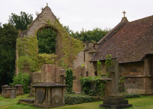
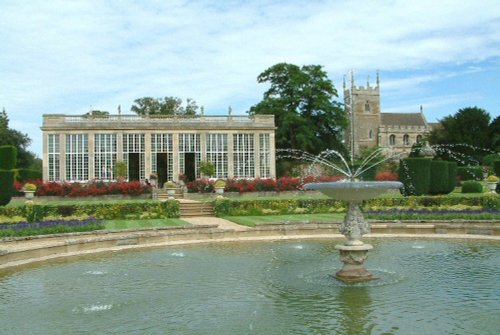
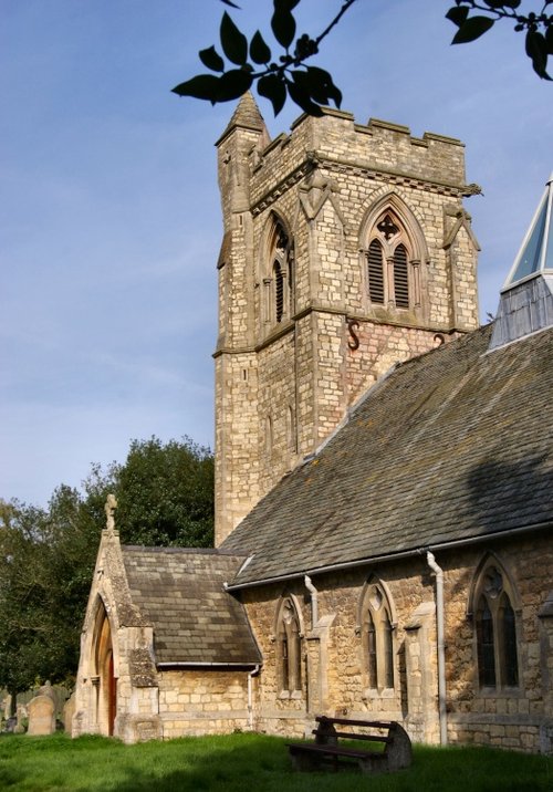
Historically a monastery was probably founded here in the 10th century, with the church being begun around 1108. The building.....
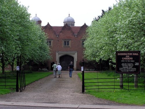
This is a superb, large Elizabethan house with a truly impressive roofline. It was built in around 1600 by Robert Smythson, with.....
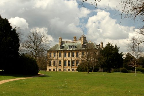
Belton is the perfect example of a home belonging to an English country gentleman, and yet it is a delightful Anglo-Dutch.....
A castle has stood on this spot since the 11th-century, it was built by Robert de Todini, standard-bearer to William the.....
..
Enjoy this site?
Please help us stay online by making a donation today - thank you for your kind support.

Follow PicturesOfEngland.com on social media and help share the beauty of England....