Please login or click here to join.
Forgot Password? Click Here to reset pasword
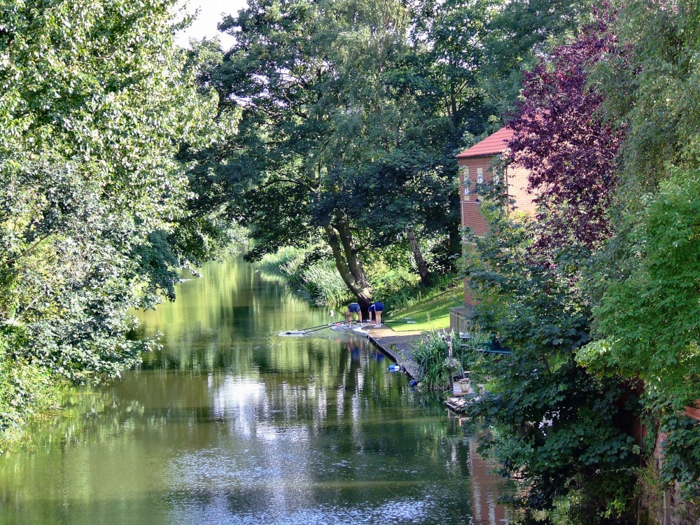
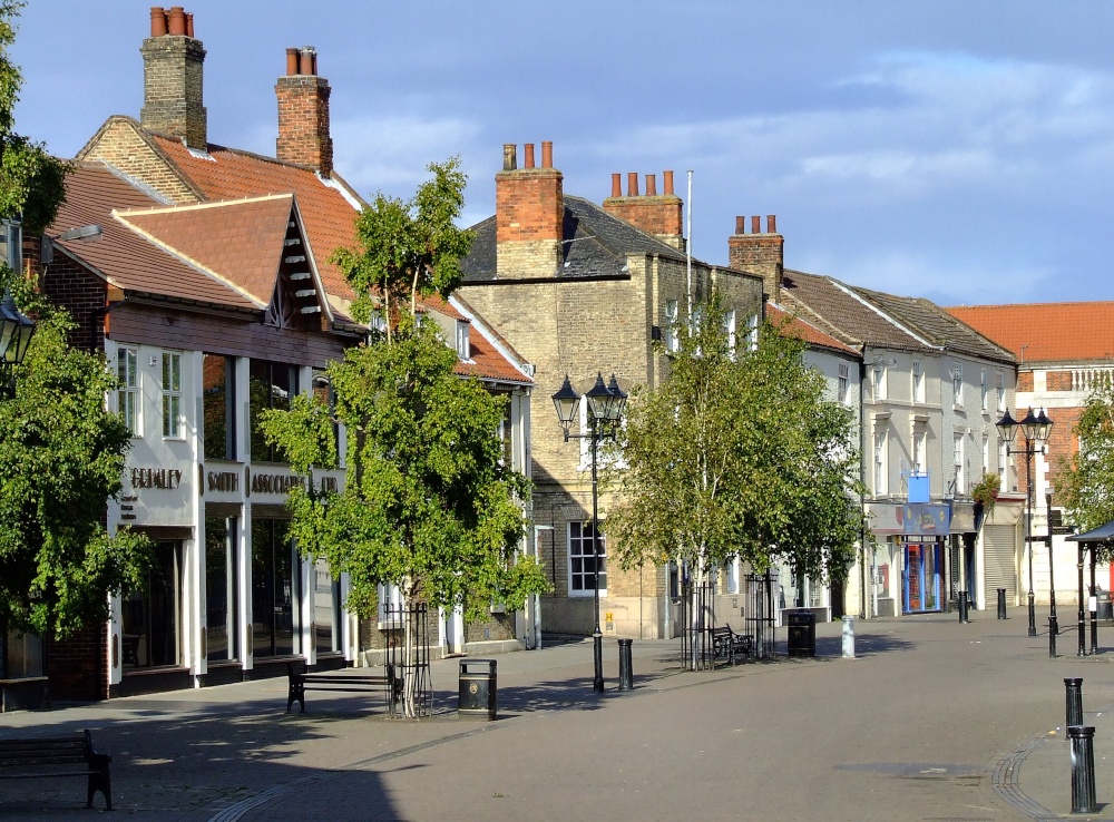
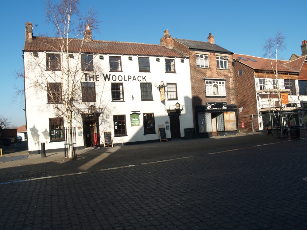
If you would like to add a description of Brigg, please use our Brigg forum here. To upload your Brigg photography and create your very own 'Pictures of England Gallery', click here or here to join the site and become part of the Pictures of England community, or simply see below for nearby recommended towns, attractions, and Brigg accommodation.
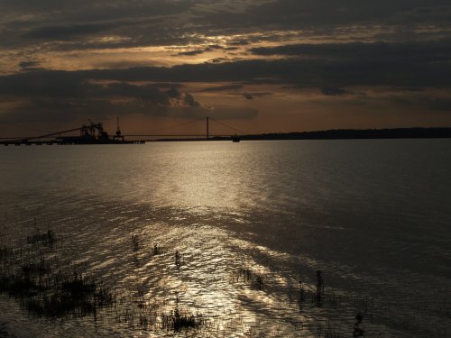
A long narrow street of grey houses defines the character of New Holland, but there are good views up the river to the Humber Bridge, and across the river to the bustling port of Hull...
Ingham, from its earliest dawning's at the time of the Doomsday Book has enjoyed a tranquil existence. The village lies in a lovely area between Lincoln and Gainsborough, amidst some of the shire's most stunning scenery...
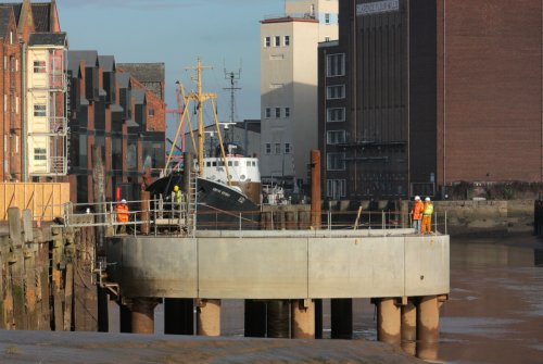
Kingston-upon-Hull is the proper name for this major industrial city which occupies a dynamic waterfront location on the giant River Humber which flows into the eastern coast of.....
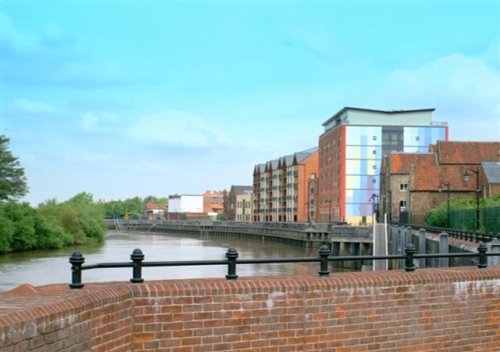
The lovely market town of Gainsborough flourishes along a sweep of the River Trent which opens up pleasant riverside walks revealing much of the areas flora and fauna as well as interesting pieces of modern sculpture...
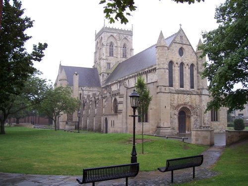
The Grimsby of today is in stark contrast to the days when its fleet numbered more than 700 sea going fishing vessel's, and even more with the time when it was under the rule of invading Danes...
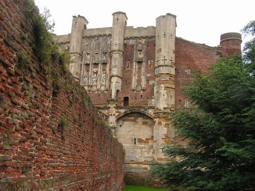
Breathtaking ruins showing clearly the medieval splendour enjoyed by the abbots in the days before the Reformation. The.....
..

Gainsborough Old Hall is one of the largest and most outstanding surviving examples of a late medieval house in the country. It.....
..
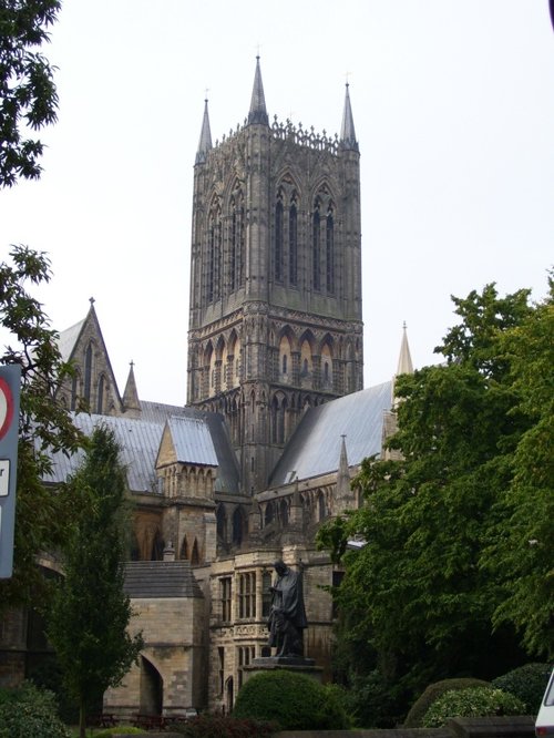
Looking at the West front of Lincoln's fine Cathedral Church of St.Mary, past the pageant of ancient buildings outside the castle.....
..
Follow PicturesOfEngland.com on social media and help share the beauty of England....