Please login or click here to join.
Forgot Password? Click Here to reset pasword
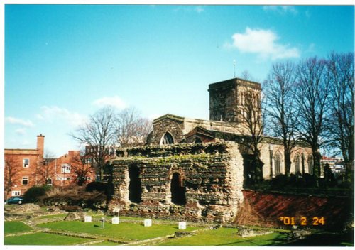
 Thomas Wolsey, Lord High Chancellor of England and Henry VIII's right-hand man (until he was arrested for treason) died on 29th November 1530 on his way to face charges. He was buried at Leicester Abbey, which was demolished around 1538, and although the Abbey foundations have been excavated in recent years, Wolsey's remains have never been found.
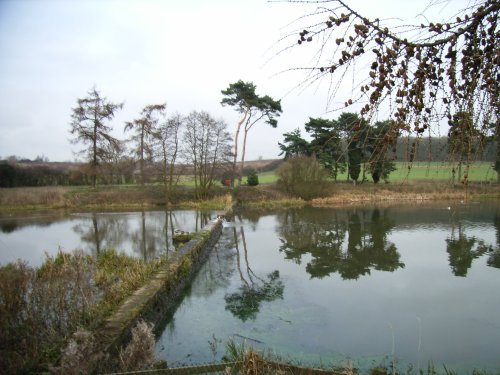
Rothley is a delightful village with two village greens, one is flanked by some of the country's finest timber framed houses. The village shows a graceful selection of architecture including pretty Cruck Cottages...
Earl Shilton is one of the largest villages in the County of Leicestershire. It occupies a rich rural landscape between the town of Hinckley and the City of Leicester...
The joyous sound of bells made in Loughborough have been rung all over the world since 1858, the date that John Taylor of Oxford moved his foundry to Loughborough. Many famous.....
An historic market town famous for its Pork packed pies and Stilton cheeses, both are savoured all over Britain and in many other countries...
Easter Monday sees the villages of Hallaton and Medbourne engaged in a riotous 'bottle kicking' contest which is said to have pagan origins...
This is Leicester's leading Museum of Archaeology, showing an extensive range Roman finds as well as other unique historic relics.....
..
..
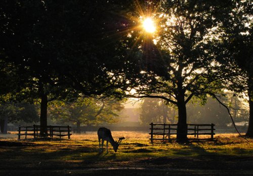
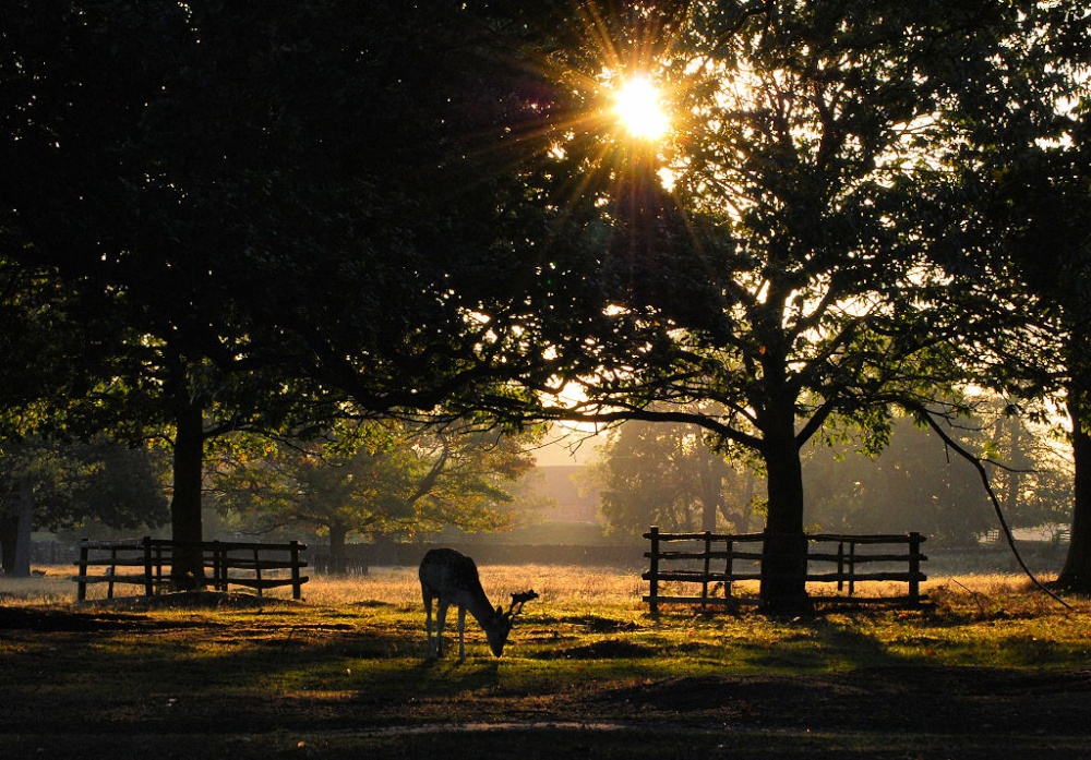
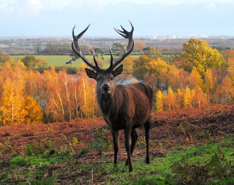
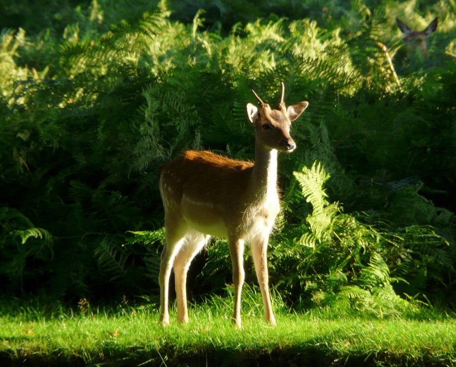
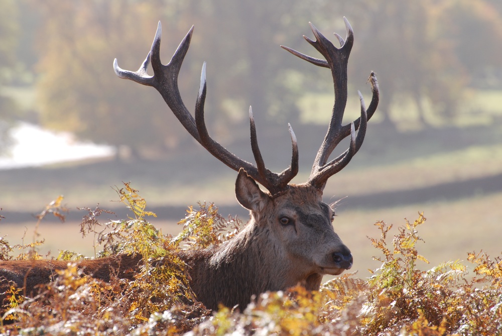
Comprising of 850 acres of land with roaming deer, Bradgate Park is Leicestershire's largest and most popular country.....
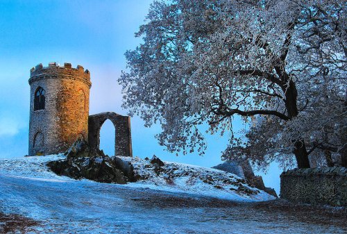
Standing on a hill overlooking Bradgate Park, Old John Tower folly.....
..
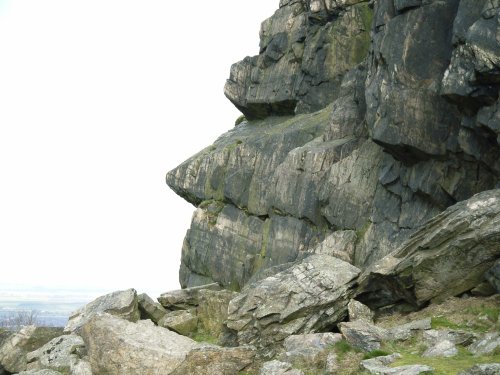
The second highest point in Leicestershire at 245m (802 feet) and containing a Bronze Age hill fort, Beacon Hill Country Park.....
Follow PicturesOfEngland.com on social media and help share the beauty of England....