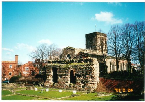
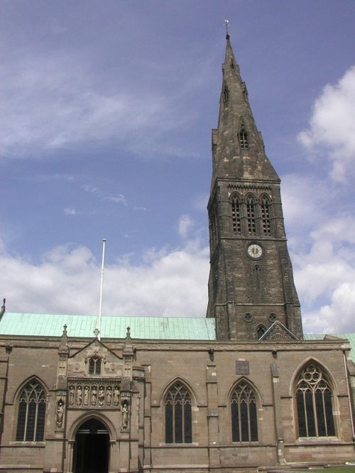
Leicester is famed amongst other things for its fine parish church which was raised to Cathedral status in 1927...
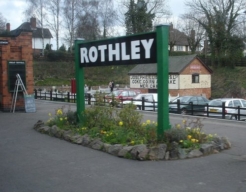
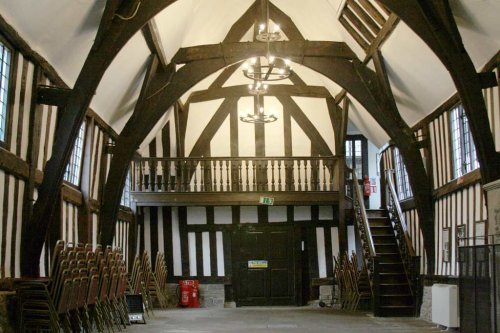
Rothley is a delightful village with two village greens, one is flanked by some of the country's finest timber framed houses. The village shows a graceful selection of architecture including pretty Cruck Cottages...

This town takes its name from the La Souche family, lords of the manor from about 1160. The Norman prefix distinguishes Ashby from other towns of similar name...
Picturesque village straddling the banks of the River Avon...

This town is the home of Rugby public school, the place where William Webb Ellis carried the ball instead of kicking it, and thus, in 1823 the game of Rugby football was born...
..
This is Leicester's leading Museum of Archaeology, showing an extensive range Roman finds as well as other unique historic relics.....
..
..
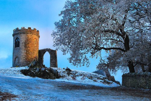
Standing on a hill overlooking Bradgate Park, Old John Tower folly.....
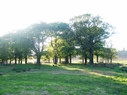
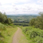
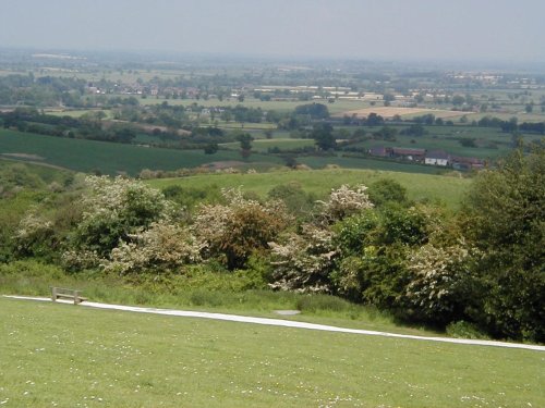
Comprising of 850 acres of land with roaming deer, Bradgate Park is Leicestershire's largest and most popular country.....
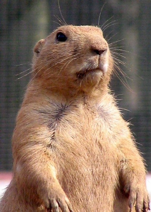
Come face-to-face with over 900 animals of more than 150 species, including some of the most endangered on our planet, at.....
Follow PicturesOfEngland.com on social media and help share the beauty of England....