Please login or click here to join.
Forgot Password? Click Here to reset pasword
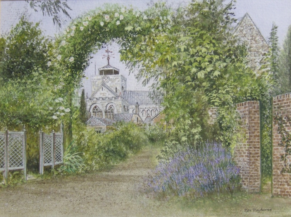
When it was discovered in 1927 this lovely graceful timber-frame house was believed to have been King John's Hunting Lodge, but later revelations found this not to be so and the house is now thought to date from the mid-13th-century, and not from 1206 the official date for the King's hunting lodge.
The origins of the house with its attached Tudor cottage remain unknown, but there are indications that it has stood since medieval times by the heraldic graffiti carved into the plasterwork of the upper floor. Below, there are the remains of a floor made from animal bones, this dates prior the 18th-century, when the house was used as a workhouse.
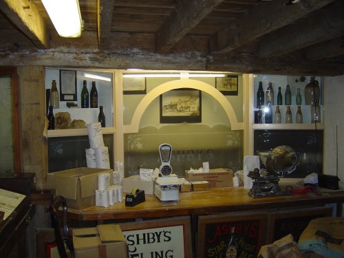
This delightful house is now the home of the Moody Museum which depicts life in Victorian and Edwardian era of Romsey. It has rooms attractively set out, featuring a shop and a parlour. The attached cottage serves as a comfortable tearoom.
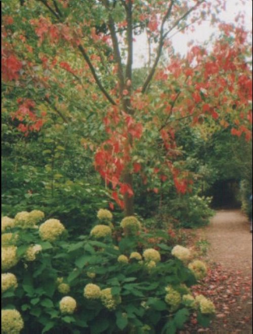
Behind the buildings there is a pretty garden bordered by the rippling waters of the Holbrook stream
in the county of Hampshire
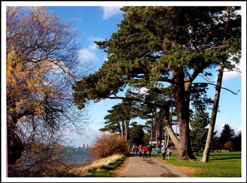
(4.6 miles, 7.4 km, direction S)Totton is a small town lying close to Southampton Water with easy access to the picturesque New Forest National Park, making it a desirable place to stay for anyone wishing to explore both coast and countryside...

in the county of Hampshire
(6.9 miles, 11.2 km, direction SE)Southampton has many lovely gardens right in the city centre with picnic tables, flower beds and shady walks. In the spring the rhododendrons are a lovely sight...
in the county of Hampshire
(8.8 miles, 14.1 km, direction S)..
in the county of Hampshire
(9.6 miles, 15.4 km, direction NE)This is an old town which was a tribal town long before the Romans landed in Britain, under their leadership it flourished to become the 5th largest city in the land, and was later heralded as the capital of King Alfred...
in the county of Hampshire
(10.2 miles, 16.4 km, direction SE)..
All towns in Hampshire
..
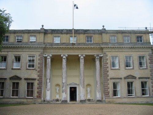
This gracious Palladian mansion was the home of the late Lord Louis Mountbatten and the place where the Queen, as the young.....
..
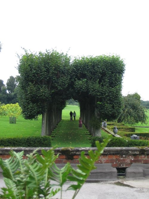
Mottisfont Abbey is beautifully set on green lawns amidst vast old trees, it is bounded on one side by the rich water-meadows of.....
Eling Tide Mill is a fascinating tourist attraction. It is a place steeped in history where flour has been milled for over 900.....
Follow PicturesOfEngland.com on social media and help share the beauty of England....