..
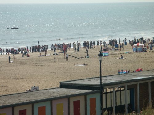
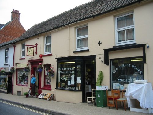
Totton is a small town lying close to Southampton Water with easy access to the picturesque New Forest National Park, making it a desirable place to stay for anyone wishing to explore both coast and countryside...
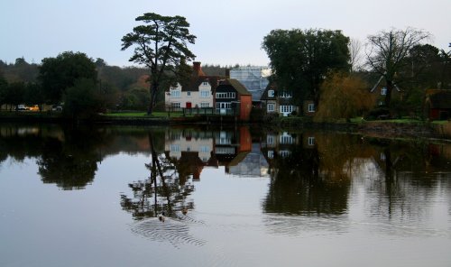
This lovely village is set in the lush greenery of the New Forest where a pretty village street leads to the banks of the Beaulieu River at the point at which it opens up as an estuary...
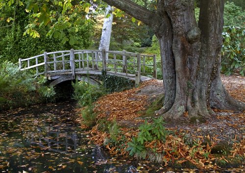
Standing close to the saltmarshes and creeks along the Beaulieu River, in an area of outstanding natural beauty, Exbury must be one of the most captivating villages for miles around...
..
..

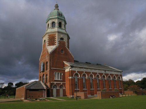
Netley Abbey Ruins , Hampshire..
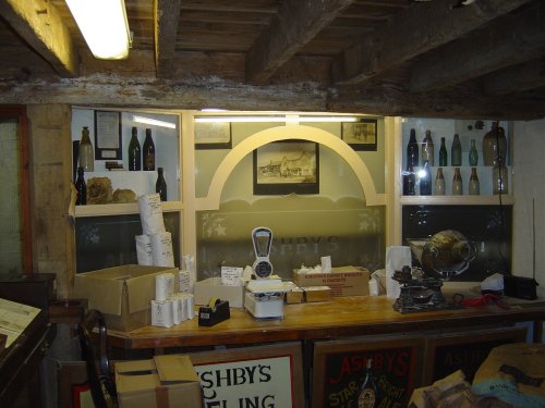
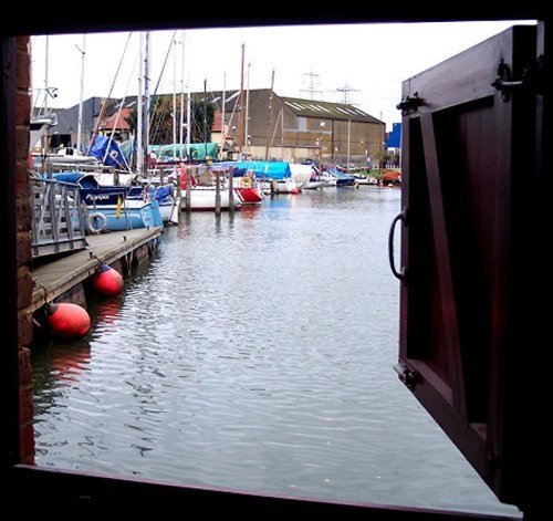
Eling Tide Mill is a fascinating tourist attraction. It is a place steeped in history where flour has been milled for over 900.....
..
..
..
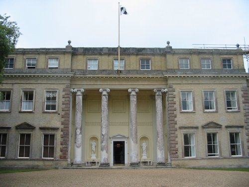
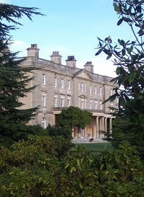
This gracious Palladian mansion was the home of the late Lord Louis Mountbatten and the place where the Queen, as the young.....
Follow PicturesOfEngland.com on social media and help share the beauty of England....