Please login or click here to join.
Forgot Password? Click Here to reset pasword
in the county of Greater London
(5.0 miles, 8.0 km, direction NE)The might of british sea-power and the historic town of Greenwich are inseparable. Two famous English sea-faring vessels are here, one is the Cutty Sark, a famous old clipper that shipped tea from China in the 19th-century, and the other, from the 20th-century is Gypsy Moth 1V, sailed round the world by Sir Francis Chichester...

in the county of Greater London
(5.7 miles, 9.2 km, direction E)The attractive suburb of Eltham is part of the urban sprawl of Greater London...

in the county of Greater London
(5.7 miles, 9.2 km, direction NW)Of all the jewels in the City of Westminster, none shines more brightly than Westminster Abbey, stunning setting for the coronation of almost every English monarch since William the Conqueror was crowned there in 1066...

in the county of Greater London
(6.1 miles, 9.7 km, direction NW)Chelsea is a district in London which in recent times gained fame as the 'home' of the 'swinging sixties' . The swinging sixties was defined on the Kings Road, which runs the length of the area and both the Beatles and the Rolling Stones lived here at one time...

a Historic City in the county of Greater London
(6.2 miles, 10.0 km, direction NW)London is one of the top cities in the world, full of history and so many beautiful and fascinating places to visit.You will never tire of all the many fascinating and exciting.....
All towns in Greater London
The Royal Observatory was constructed by Sir Christopher Wren following the appointment of John Flamsteed as Royal Astronomer in.....
..
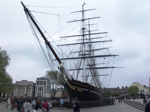
The Cutty Sark is the only surviving extreme clipper in the world. She now sits in dry dock and is one of the great sights of.....
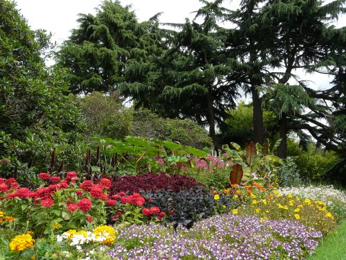
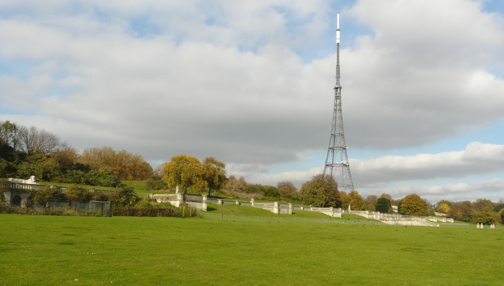
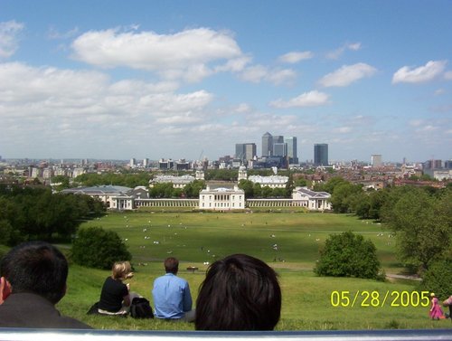
Greenwich Park covers 73 hectares (183 acres) and is the oldest enclosed Royal Park. Greenwich Park is situated on a hilltop with.....
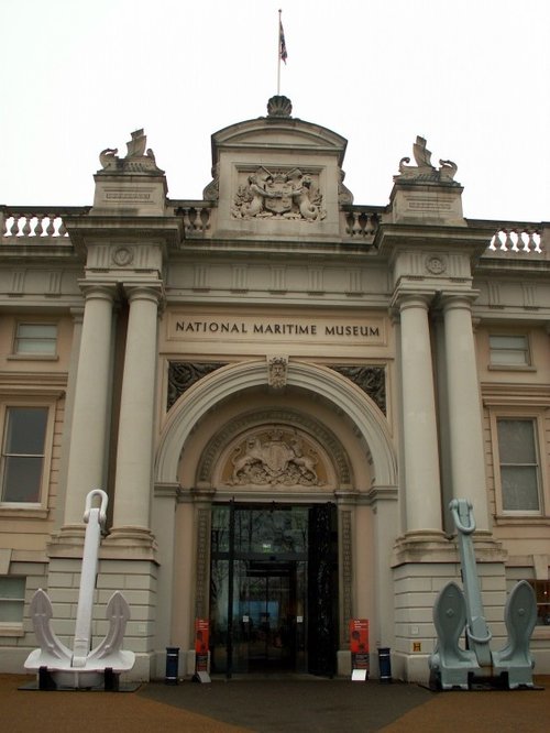
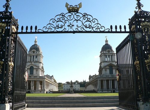
This museum is one of the most important of all the British museums, for it is a unique celebration of the history of the British.....
Follow PicturesOfEngland.com on social media and help share the beauty of England....