Please login or click here to join.
Forgot Password? Click Here to reset pasword
in the county of Greater London
(5.9 miles, 9.6 km, direction SE)Camden town is a vibrant cosmopolitan region of London...
in the county of Greater London
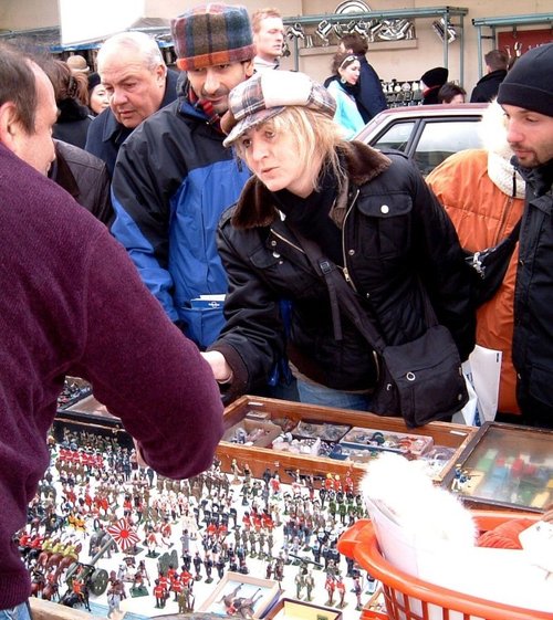
(6.2 miles, 9.9 km, direction S)This area of London is known throughout the world as the scene of London's biggest annual street party...
in the county of Greater London
(6.6 miles, 10.7 km, direction SW)Ealing is a thriving place which is now hugely cosmopolitan and has a wide range of multi-cultural offerings...
in the county of Greater London
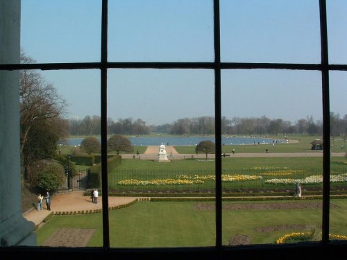
(6.7 miles, 10.8 km, direction S)The attractive Royal borough of Kensington has many special places. Most prominent is Kensington Palace, birthplace of Queen Victoria...
in the county of Greater London
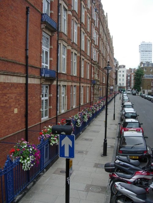
(6.8 miles, 10.9 km, direction SE)Marylebone is one of London's more affluent area's, it is home mostly to the well to do, and yet only a couple of centuries ago a large workhouse was built here to give shelter to the poor and homeless, often foundlings were discovered on the workhouse doorstep...
All towns in Greater London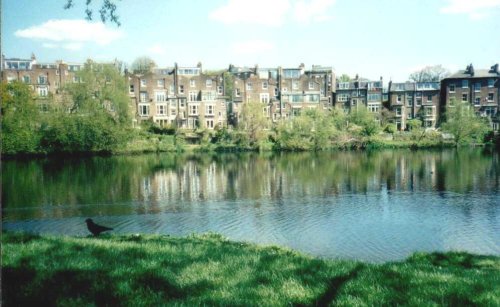
This marvellous richly planted seemingly unending open area is one of London's favourite places. It was formerly the grounds of.....
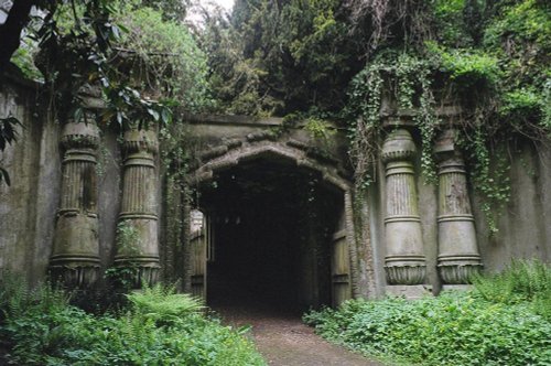
London's famous victorian Cemetery..

Since opening its doors to the public in 1847 London Zoo has become the most famous zoo in the world. With over 650 species, an.....
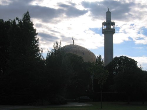
The Central London Mosque, founded in 1965 was designed by Sir Frederick Gibberd. 1978 saw the completion of the Mosque. The.....
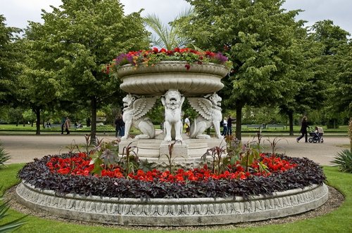
Although the history of Regent's Park stretches back to the time of Charles I, it really only came into its own during the early.....
Follow PicturesOfEngland.com on social media and help share the beauty of England....