Please login or click here to join.
Forgot Password? Click Here to reset pasword
If you would like to add a description of Ardleigh Green, please use our Ardleigh Green forum here. To upload your Ardleigh Green photography and create your very own 'Pictures of England Gallery', click here or here to join the site and become part of the Pictures of England community, or simply see below for nearby recommended towns, attractions, and Ardleigh Green accommodation.
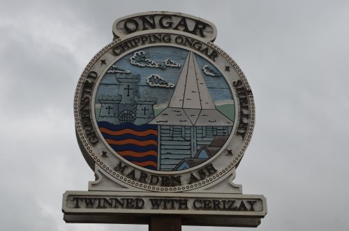
Chipping Ongar is a pleasing town, it is within easy driving distance of Waltham Abbey and is surrounded by several places of interest...
Queen Elizabeth 1st was a frequent visitor to Epping. It was in 1575 on a visit to Thomas Heneage at Copped Hall that the Queen costituted him Clerk of the Market with his heirs forever, she also granted further market rights...
Greenhithe is an area of Kent found sandwiched between the River Thames and Watling...
The attractive suburb of Eltham is part of the urban sprawl of Greater London...
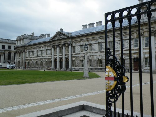
The might of british sea-power and the historic town of Greenwich are inseparable. Two famous English sea-faring vessels are here, one is the Cutty Sark, a famous old clipper that shipped tea from China in the 19th-century, and the other, from the 20th-century is Gypsy Moth 1V, sailed round the world by Sir Francis Chichester...
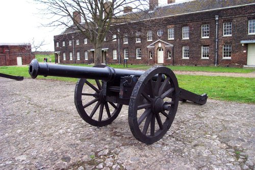
At almost 500 acres and once a deer park used for hunting by the Abbots of Waltham in around 1063, Weald Park has plenty of.....

Philip Webb (1831-1915) was the first significant architect of the Arts and Crafts movement, and the Red House he built in 1859.....
..
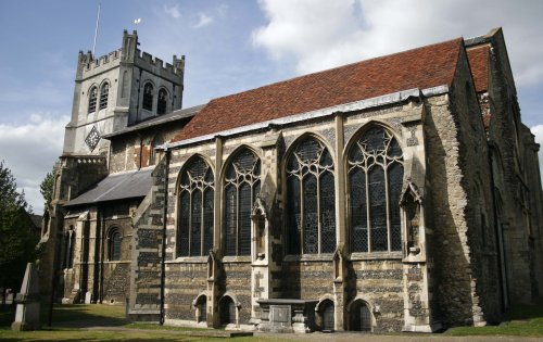
A fascinating group of historic industrial buildings which include the House Mill, the largest tidal mill left standing in.....
..
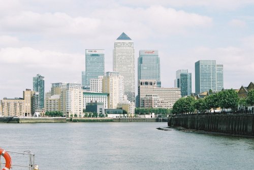
This is London's newest and brightest business district. It offers luxurious office buildings with up to the minute facilities,.....
..
Follow PicturesOfEngland.com on social media and help share the beauty of England....
