Please login or click here to join.
Forgot Password? Click Here to reset pasword

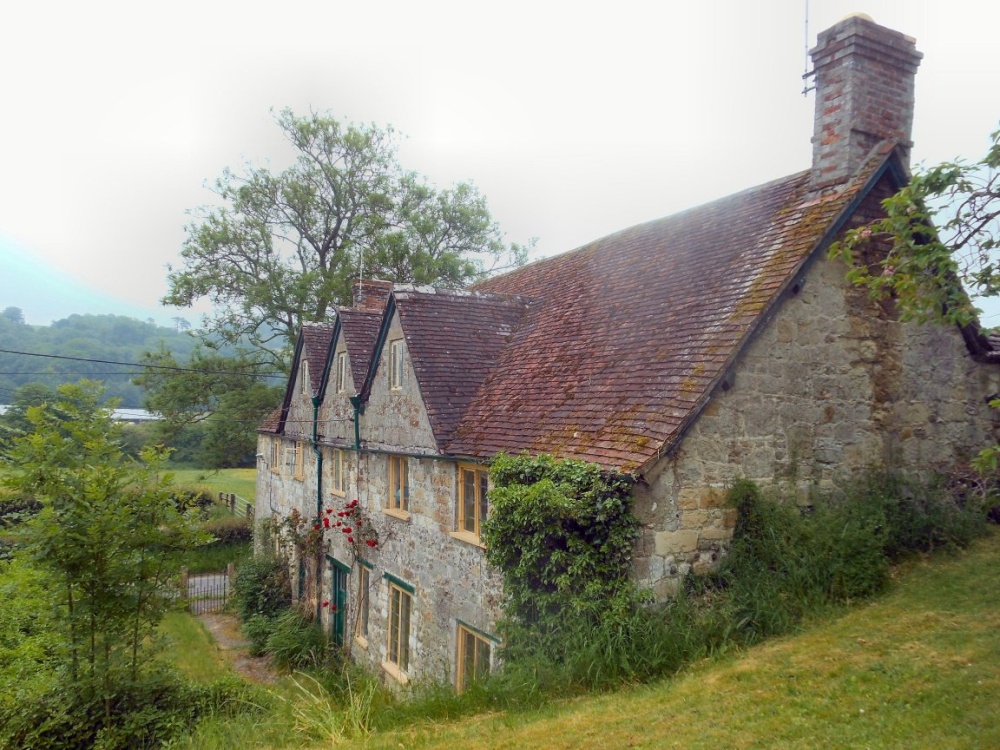
A small attractive Market Town in Dorset...

Shaftsbury is Dorset's only hill-top town, with its long history and good views it is particularly attractive to tourists...

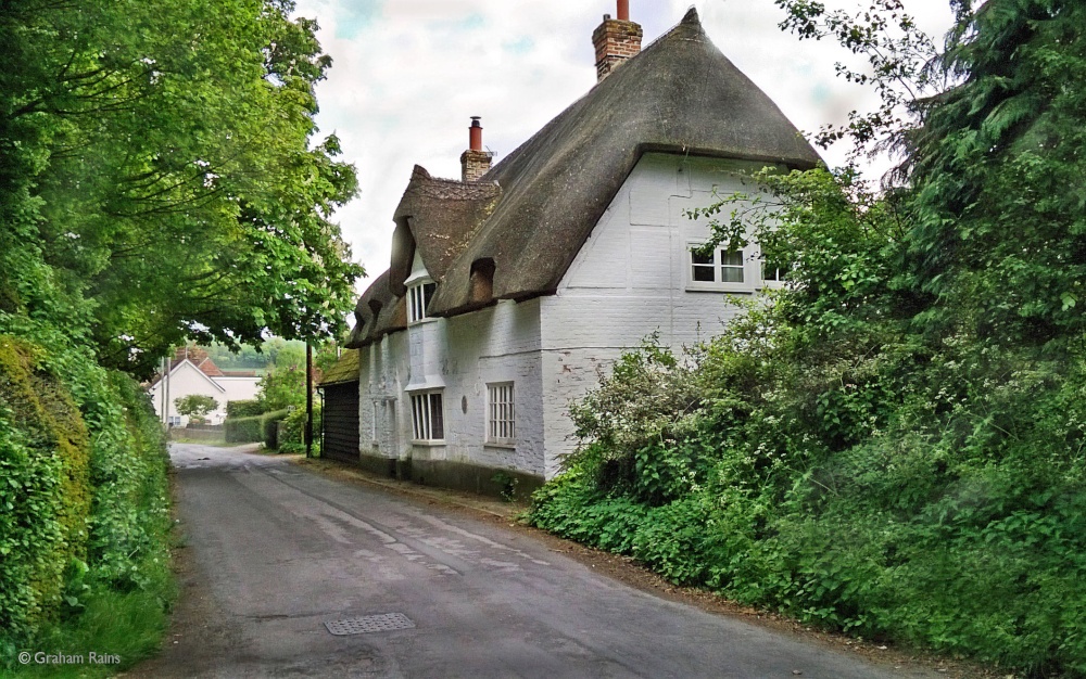
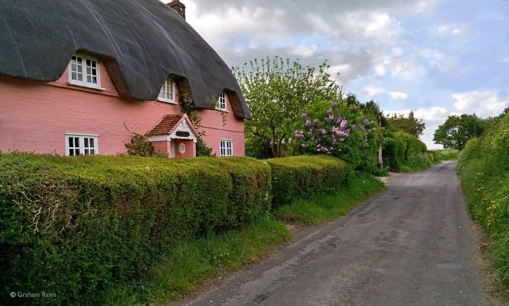
Milton Abbas is a superb thatched village which has the distinction of being the first planned village of its kind in England...
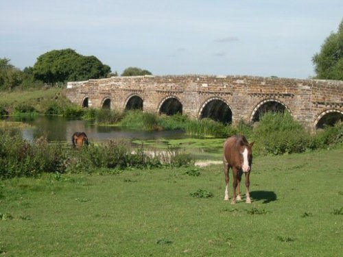
Sturminster Marshall is famous for its beautiful White Corn Mill and for the magnificent eight arched bridge spanning the River Stour...
Wimborne Minster is a magnificent Georgian town in the valley of the delightful River Stour...
..
The White Mill is an attraction in the delightful village of Sturminster Marshall. The cornmill occupies a site recorded in.....
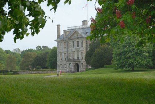
Set in 250 acres of spectacular parkland landscaped in the latter half of the 18th century and now roamed by a herd of Red Devon.....
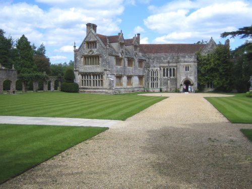
Athelhampton House is a fine example of a 15th Century house nestling in deepest Dorset...
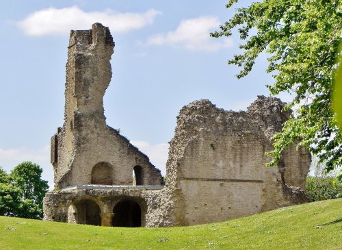
Many fascinating tales remain from the time when Sherborne Castle was lived in by Sir Walter Raleigh, a favourite of Elizabeth I......
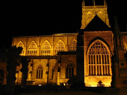
Without doubt this magnificent Abbey built centuries ago of creamy Ham stone ranks amongst the finest Abbey churches anywhere in.....
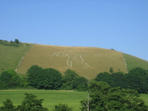
This magnificent figure cut into the turf of a chalk hillside is best viewed from the north of the village. He is known as "The.....
Follow PicturesOfEngland.com on social media and help share the beauty of England....