Please login or click here to join.
Forgot Password? Click Here to reset pasword
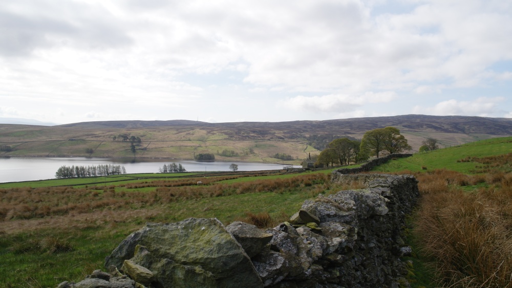
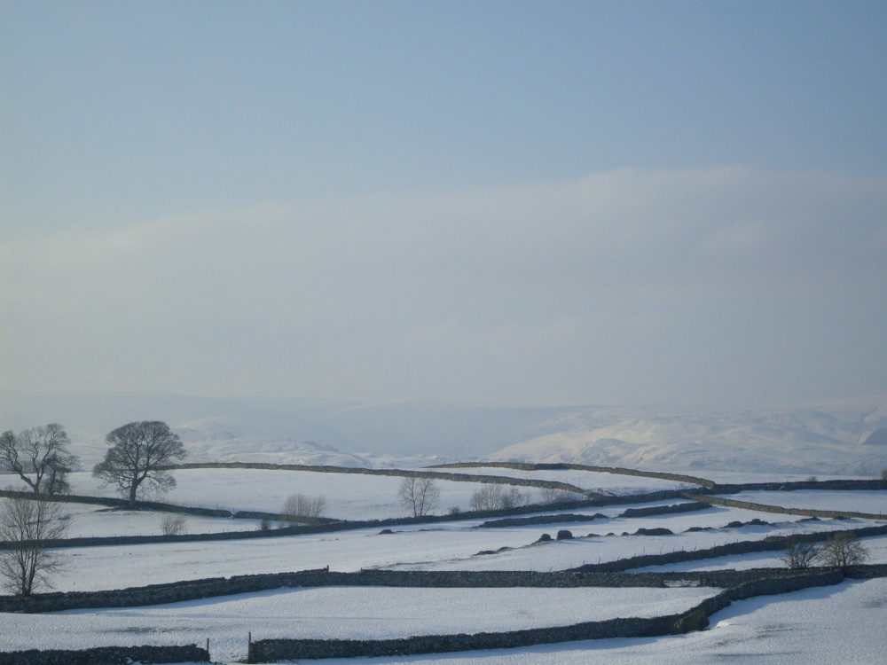
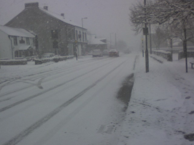
If you would like to add a description of Shap, please use our Shap forum here. To upload your Shap photography and create your very own 'Pictures of England Gallery', click here or here to join the site and become part of the Pictures of England community, or simply see below for nearby recommended towns, attractions, and Shap accommodation.
Hunter Davies (famous author, journalist and broadcaster) described the village as "... one of the most beautiful villages in the country"...
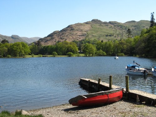
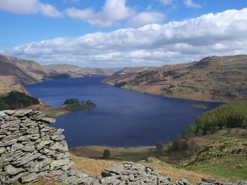
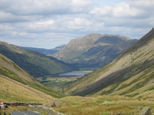
Ullswater is considered by many to be the lake districts most beautiful lake. It is 7.5 miles of pure beauty, and as you approach it from any direction you will see why. Ullswater.....
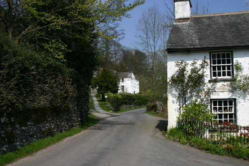
A village that is spread along an old valley road for around one and a half miles. Lots of charm and old cottages, surrounded by beautiful lakeland countryside. Beatrix Potter.....
Ambleside, meaning "Shieling" or summer pasture by the riverbank, lies next to the northern shore of Lake Windermere. A busy victorian town ideal as a base when visiting the Lake District..
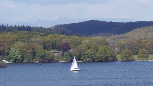
Lake Windermere is England's largest lake, and one of it's most popular with visitors. It is 10.5 miles long and approx 1 mile wide. The water of the lake reaches a depth of.....
..
..
..
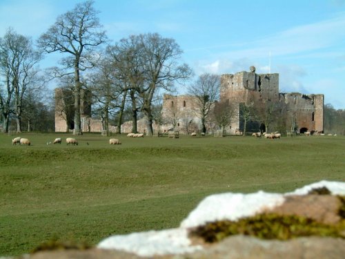
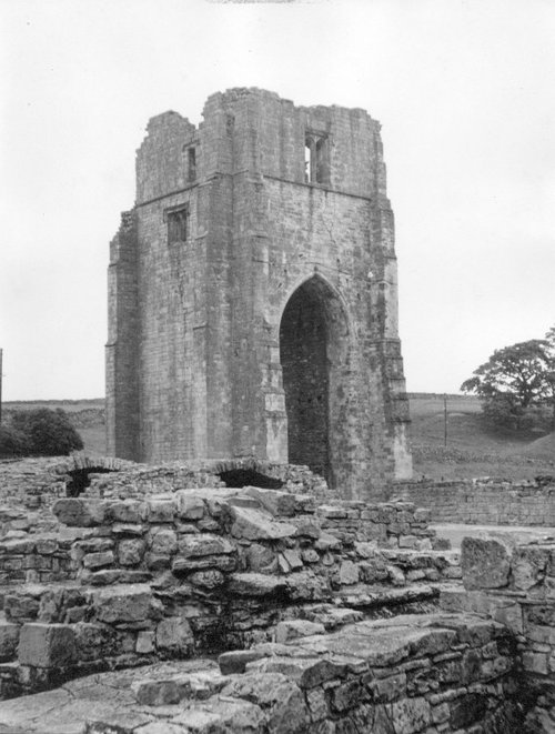
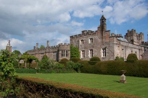
Coming Soon. Can you tell us about Brougham Castle? broughamcastle@picturesofengland.com..
..
..
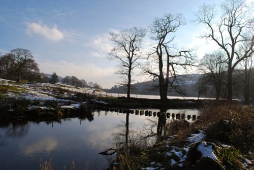
Dorothy Wordsworth (c.1771-1855, diarist, poet, sister of William ) referred to it as "..the glittering lively lake..". The.....
Follow PicturesOfEngland.com on social media and help share the beauty of England....