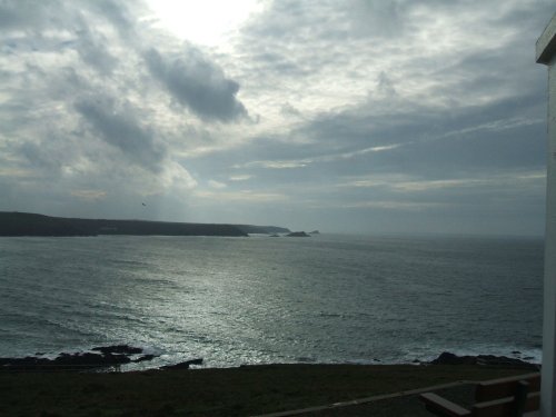
Portreath lies on Cornwall's magnificent North-western coast, it occupies a picture-postcard valley setting of woods, streams and fine rural meadow-land, with its crowning glory being the beach lying beneath rugged cliffs topped with springy turf and heathers...
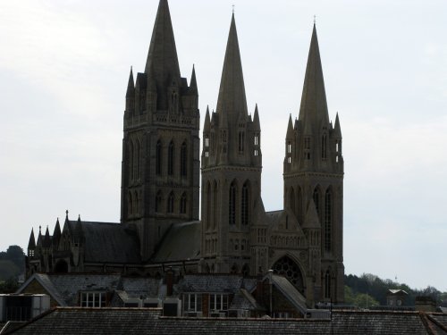
Truro, today is Cornwall's unofficial capital and adminstrative centre but in the Middle Ages Truro was one of the towns which controlled Cornwall's flourishing tin mining industry...
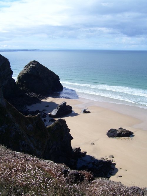
What a rare blessing Newquay has in its mile upon mile of sheltered, golden beaches that offer a safe haven for sun-worshippers and surfers alike...
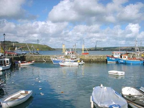
Think of Falmouth and you immediately think of the sparkling sea in a bay alive with busy colourful pleasure and sailing boats all jostling along in bright sunshine. You think.....
..
..
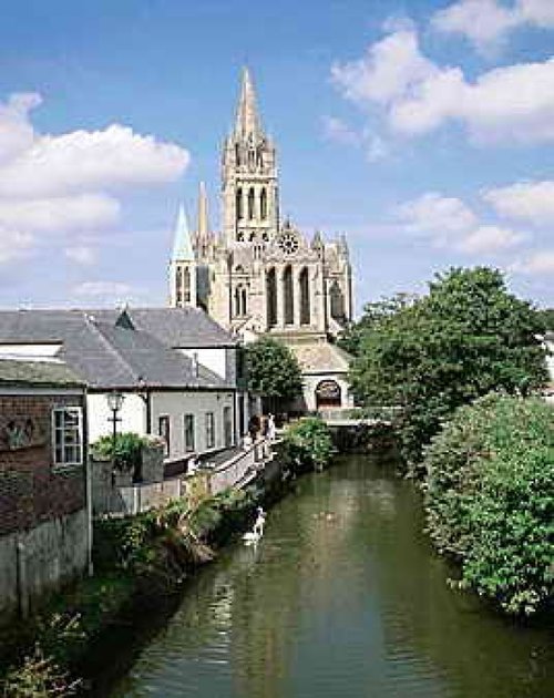
A former 16th-century parish church once stood on the site of this sumptuous cathedral, which was designed by John Loughborough.....
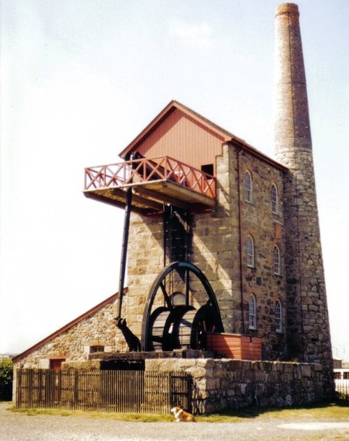
This museum set on lonely cliffs far above the swirling Atlantic Ocean is where visitors to the area can learn all about.....
..
Trewithen is a glorious 18th-century house built by Thomas Edwards and decorated in Rococo style. It forms a backdrop for.....

This hauntingly beautiful spot was initially made famous by centuries of shipwreck caused by perilous rocks scattered around its.....
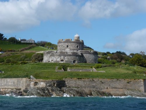
Built by Henry VIII between 1540-45 due to the threat of invasion from Catholic France and Spain. Built as one of a pair, their.....