Please login or click here to join.
Forgot Password? Click Here to reset pasword
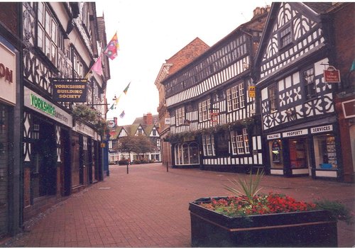
Today, Nantwich is a busy bustling place of business and commerce that still manages to retain its unique 'Elizabethan' flavour...

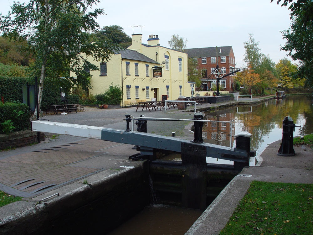
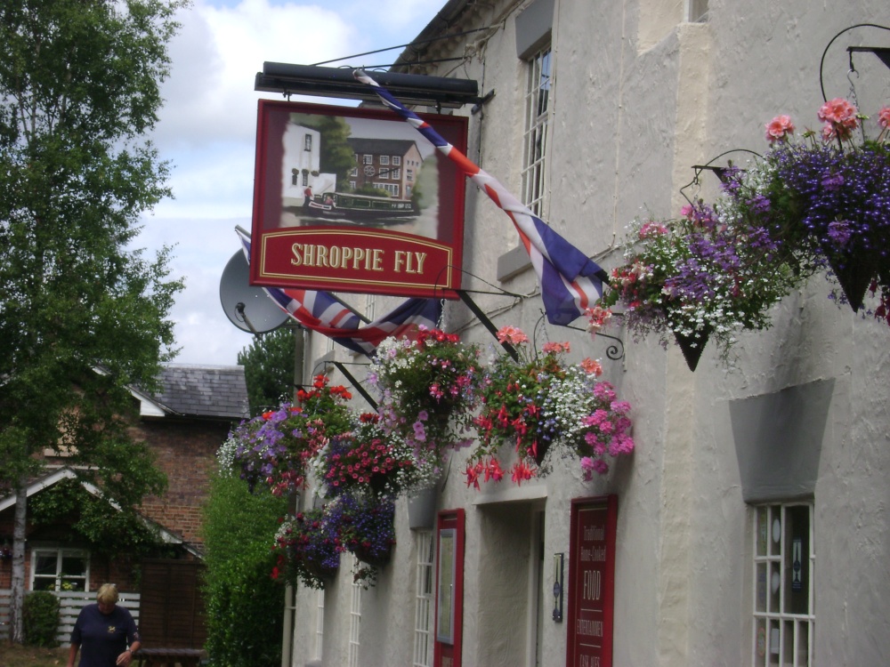
Attractive large village which developed as a coaching stop on the main London to Liverpool road during the 17th and 18th-centuries...
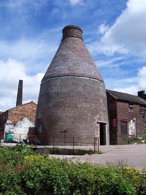
Town known best as "the potteries" but in reality Stoke-on-Trent is a 1906 amalgamation of six towns, each of which still maintain their own individuality and character...
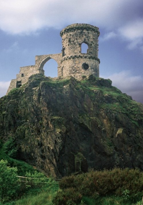
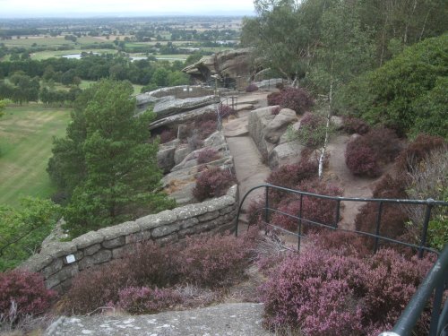
The sheer scale of the height of this village with the quaint sounding name has made it famous, for it is believed that on a clear day the hill is visible to no less than five counties...
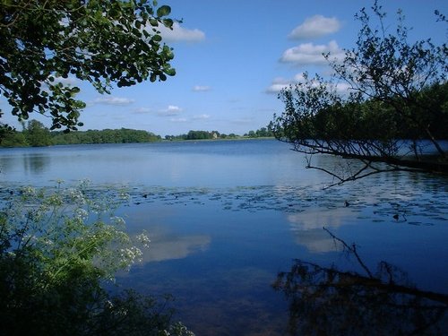
Clolemere is a countryside heritage site with miles of waymarked walks circling over 70 acres of water, woodland and sweet scented meadows...

The village of Cholmondeley is famous for its fascinating, romantic castle, built in 1801 in the Gothic style. Built as the seat.....
Picturesque Hodnet Hall stands on the bank of a small valley, it is a handsome red-brick mansion designed in the 19th-century by.....
..
This modern day version of a 12th-century castle is set in the heart of the Cheshire Plains, an area which is scattered with.....

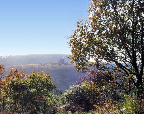
Set on a lonely hillside along the run of the Peckforton Hills, lie the ruins of Beeston Castle. It was built in the.....
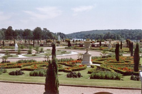
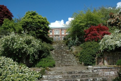
These pictures are of the garden and lake of Trentham Gardens, Stoke-on-Trent, Staffordshire. This was the former home of the.....
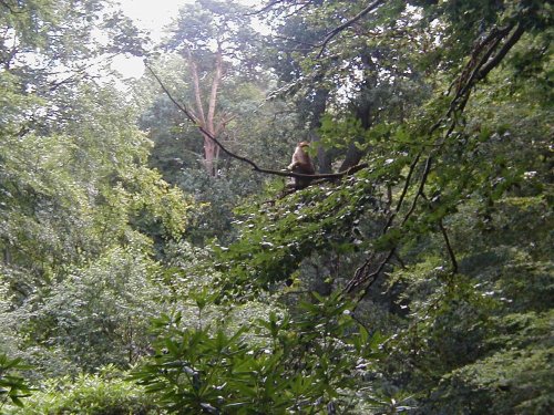
This is an outstanding tourist attraction for children and adults of all ages. Here, in a vast wilderness of trees 140 Barbary.....
Follow PicturesOfEngland.com on social media and help share the beauty of England....