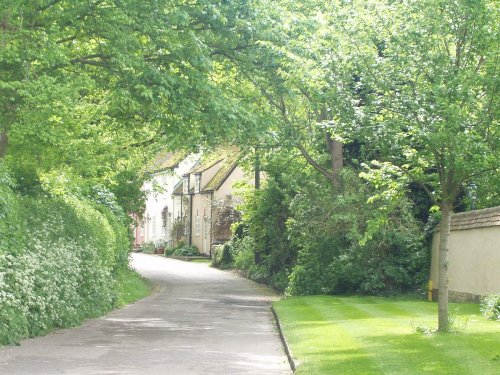
Old Warden is a sleepy Bedfordshire village with pretty honey-coloured thatched cottages and a wealth of other interesting buildings...
Ashwell embodies some of the finest domestic architecture in England, here in this well preserved village, at a glance you get a pleasurable insight as to what England was like in the 16th and 17th-centuries...
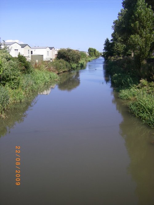
The town lies close to the River Beane, in a spot where the river flows through some lovely water meadows and tranquil English countryside...
Bedford is the historic County town of Bedfordshire with a beautiful riverside setting on the great River Ouse. John Bunyan, author of Pilgrim's has strong associations with this town...
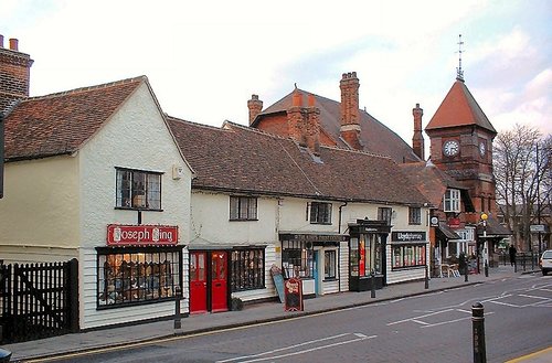
Hitchin is a historic market town in Hertfordshire, characterized by its medieval and Georgian architecture. It has a vibrant market square, a variety of pubs, and the picturesque Hitchin Lavender fields in the surrounding countryside...

The Shuttleworth Collection - a unique flying collection showcasing the first one hundred years of flight. This unique collection.....
coming soon email: collection@shuttleworth.org http://www.shuttleworthcollection.co.uk/..
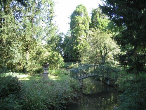
These glorious gardens, laid out in the early part of the 19th century, fully embrace the romanticism of the era. The fashion at.....
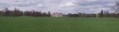
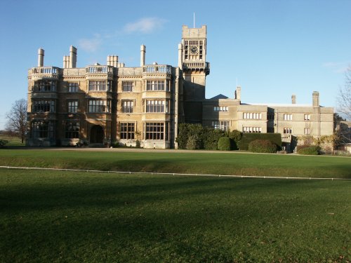
Cambridgeshire's largest and grandest Georgian mansion, set in a fine wooded park, complete with folly, Chinese bridge and lake..
Rowney Warren is a lively woodland managed jointly by the Southill Estate and the Forestry Commission. The wood is predominantly.....
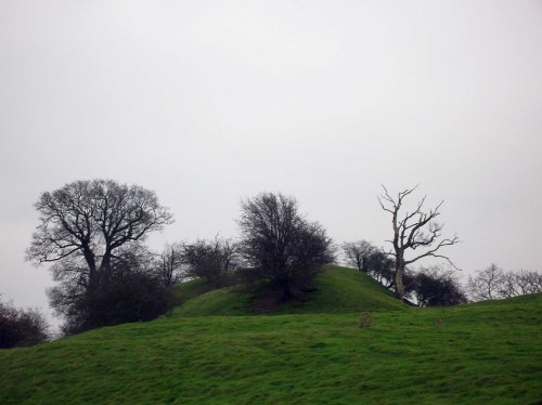
The remains of a late 11th or early 12th century motte and bailey castle with three baileys. Cainhoe castle was probably occupied.....
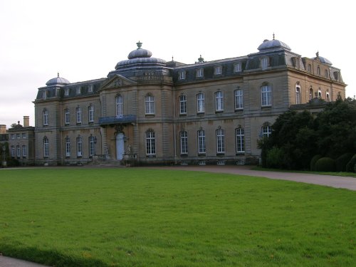
Wrest Park House was once the home of the de Grey family whose Mausoleum is at nearby Flitton. The gardens form a charming.....