Please login or click here to join.
Forgot Password? Click Here to reset pasword
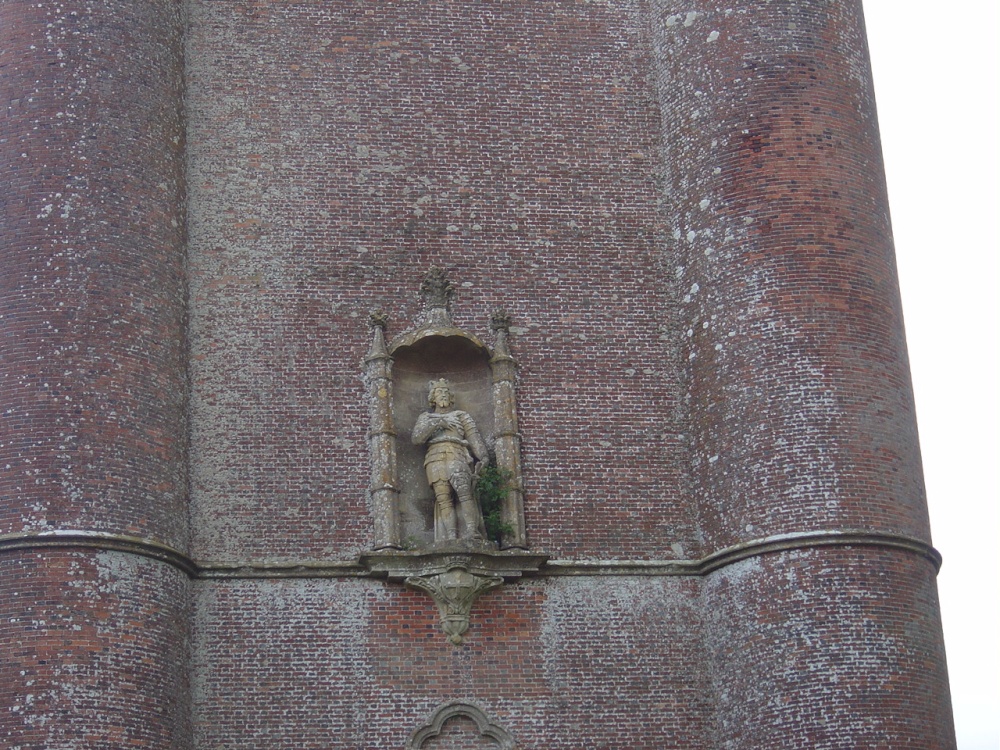
2 miles north-west of the garden, the 50m high Tower stands on the spot where in 879AD the King raised his standard after emerging from hiding. This tower is one of the finest follies in Britain

a Historic Market Town in the county of Dorset
(10.5 miles, 16.9 km, direction SE)Shaftsbury is Dorset's only hill-top town, with its long history and good views it is particularly attractive to tourists...

a Historic Market Town in the county of Dorset
(13.2 miles, 21.2 km, direction SW)The softly glowing Ham stone of which most of the town properties are built, lends warmth and atmosphere to what is already a unique and attractive place...

a Historic Market Town in the county of Dorset
(13.3 miles, 21.4 km, direction S)A small attractive Market Town in Dorset...
in the county of Somerset
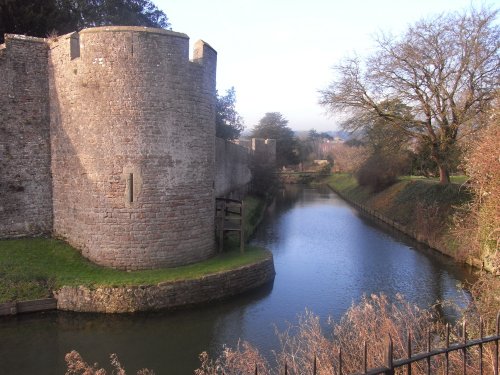
(13.8 miles, 22.2 km, direction NW)Wells, situated at the foot of the picturesque mendip hills, is most certainly one of England's most delightful cathedral cities...
a Historic Market Town in the county of Somerset
(15.5 miles, 25.0 km, direction W)This little town now enjoys world renown for its annual music festival which attracts thousands of visitors from all over the globe. None-the-less, this still remains very much a.....
All towns in Wiltshire
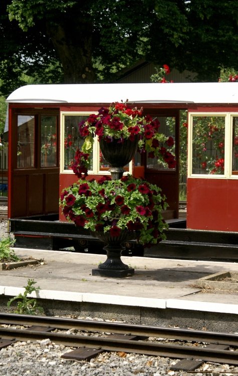
Designed by Henry Hoare II, Stourhead is one of England's most picturesque landscape gardens with classic temples and palladian.....
On entering the great grounds of Longleat House through the entrance known as "Heaven's Gate" visitors are immediately struck by.....
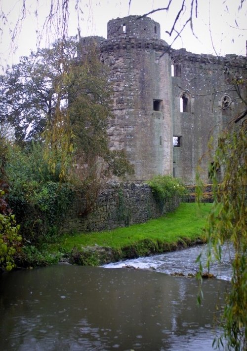
A tradition exists that Nunney Castle's sole pig was subject to daily torture when the castle came under siege in 1645 during the.....
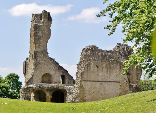
Many fascinating tales remain from the time when Sherborne Castle was lived in by Sir Walter Raleigh, a favourite of Elizabeth I......
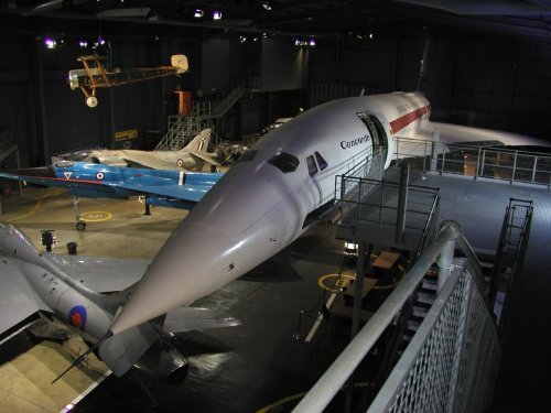
The Fleet Air Arm Museum houses Europe's largest Naval aviation collection. Go on-board Concorde and be transported by a.....
Follow PicturesOfEngland.com on social media and help share the beauty of England....