Please login or click here to join.
Forgot Password? Click Here to reset pasword
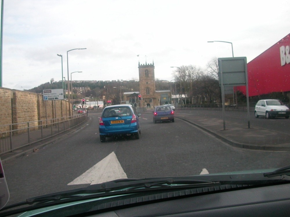
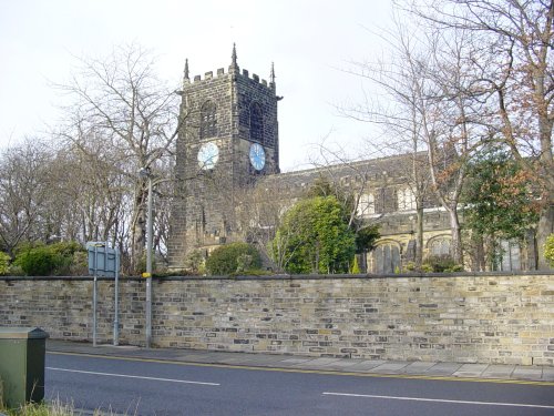
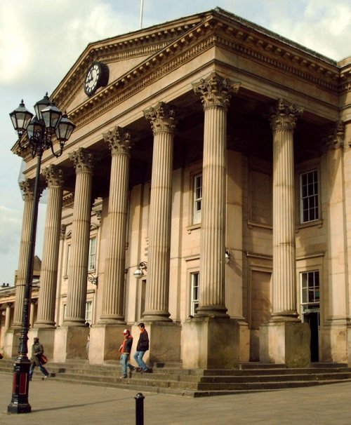
If you would like to add a description of Dewsbury, please use our Dewsbury forum here. To upload your Dewsbury photography and create your very own 'Pictures of England Gallery', click here or here to join the site and become part of the Pictures of England community, or simply see below for nearby recommended towns, attractions, and Dewsbury accommodation.
Wakefield was the capital of Yorkshire's woollen industry for more than 700 years, it was an important weaving and dying centre as far back as the 13th century...
Almondbury is one of the oldest and prettiest of the villages dominating the edge of the Pennine moors...
Huddersfield is a lively and interesting town that offers a rich cultural experience...

In the middle ages Leeds was a wool centre and it flourished. The sheep on the Yorkshire moors providing the wool for the cottage craft industry of spinning and weaving. The.....
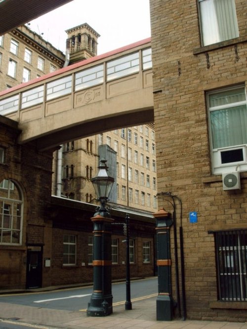
Halifax is an industrial city close to the famous Pennines and the route of the Pennine Way in what is known as Yorkshire's "Bronte" country...
..
..
..
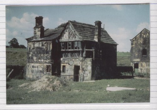
Home of the wicked Prioress who bled the unsuspecting Robin Hood to death. All that remains today is the Priory Gatehouse and.....
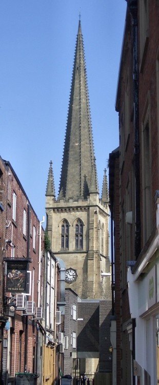
This was formerly the parish church of All Saints, it only became a cathedral at the end of the 19th century. With its.....
This is an exciting, fascinating tourist attraction that is both fun and thought provoking for all the family. It has fast.....
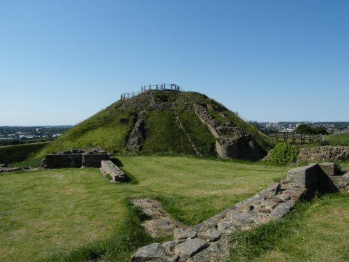
The crumbling, naked ruins of Sandal Castle are now owned by Wakefield council, and what an inspired choice of centre-piece they.....
Follow PicturesOfEngland.com on social media and help share the beauty of England....