Please login or click here to join.
Forgot Password? Click Here to reset pasword

a Historic Market Town in the county of North Yorkshire
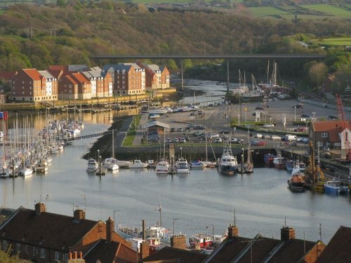
(2.1 miles, 3.3 km, direction W)This historic small fishing town is part of the Heritage Coast of North East England. It is a place of historical interest and was the home of the most famous 18th century explorer and voyager; Captain James Cook. Whitby also has one of the finest examples of Anglo Saxon churches in England...

a Picturesque Village in the county of North Yorkshire
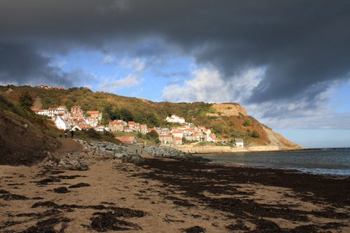
(3.4 miles, 5.4 km, direction SE)The talk in the local pub is all of Robin Hood, did he pass through this bay whilst journeying to Whitby, or did he not?..
a Seaside Town in the county of North Yorkshire
(4.7 miles, 7.6 km, direction W)A wildly beautiful rugged coastal area with over two and a half miles of uninterrupted golden sand which in high summer is idyllic for holiday makers, and attractive to surfers...

a Picturesque Village in the county of North Yorkshire
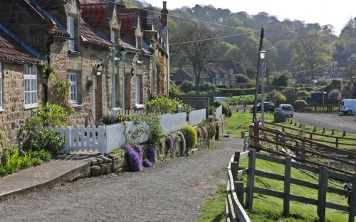
(8.2 miles, 13.2 km, direction SW)A picturesque village near to Goathland..
a Seaside Town in the county of North Yorkshire
(8.4 miles, 13.5 km, direction NW)Runswick Bay lies at the edge of the North Yorkshire Moors National Park, the village is tucked between rising cliffs at the western end of a lovely sweep of sand...
All towns in North Yorkshire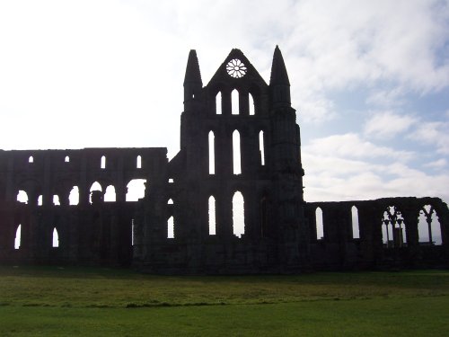
Whitby Abbey was founded in the seventh century on cliffs by the sea. Its remains can still be seen from the sea and are a.....
..
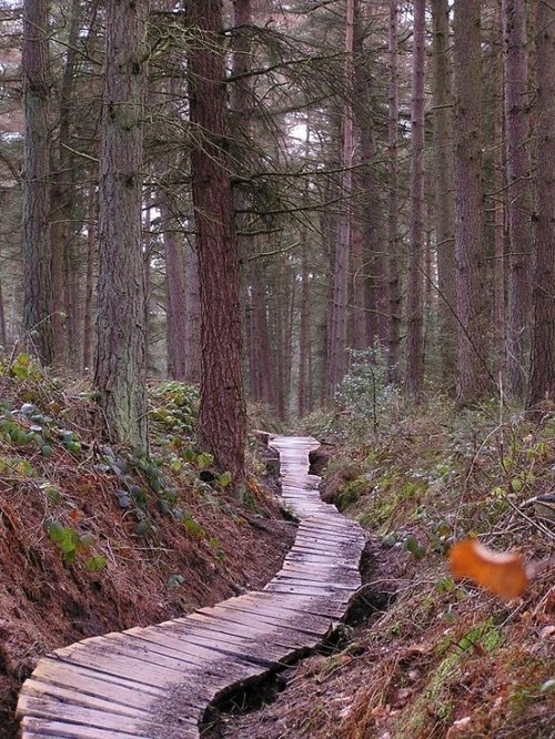
The Dalby Forest lies in the majestic northern uplands at the edge of North Yorkshire Moors National Park. It is mostly a.....
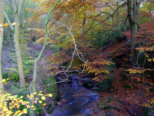
Many will tell you they have never seen the Yorkshire Moors, yet often you can catch a glimpse of this magical area simply by.....
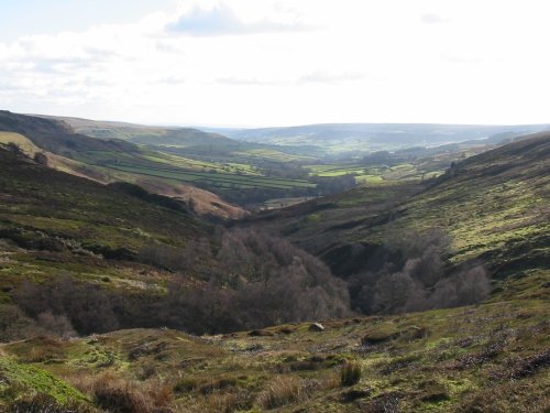
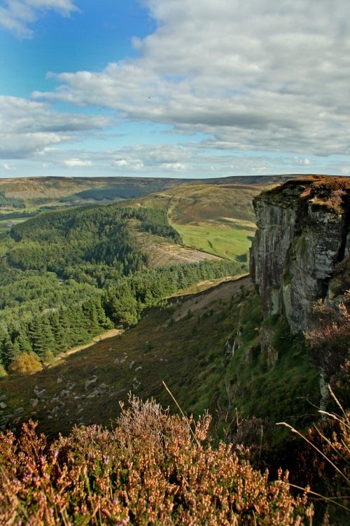
Historically this breathtakingly beautiful moors area was an industrial centre for ironstone mining during the 19th and early.....
Follow PicturesOfEngland.com on social media and help share the beauty of England....