Please login or click here to join.
Forgot Password? Click Here to reset pasword
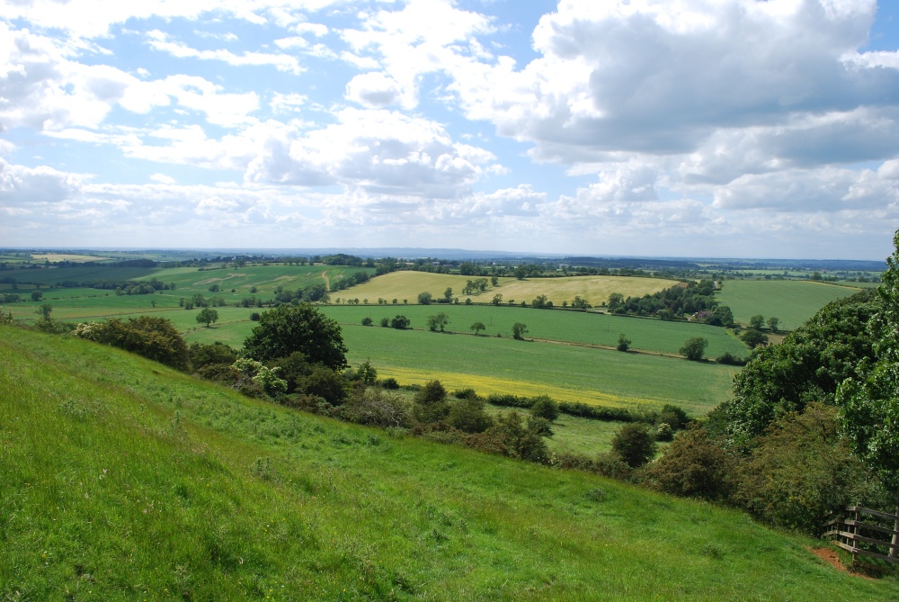
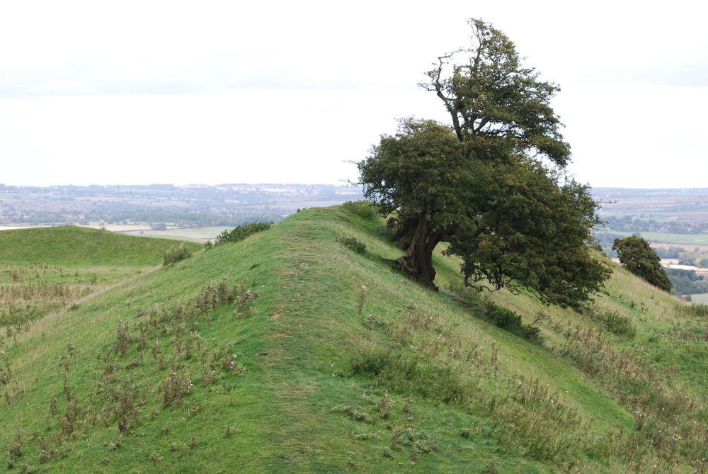
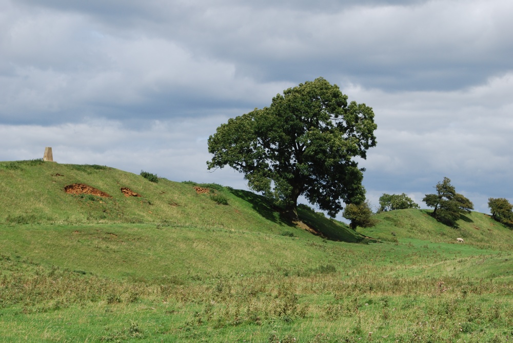
Burrough Hill is an Iron Age hillfort in Leicestershire, England, situated at Burrough on the Hill, 7 miles south of Melton Mowbray.
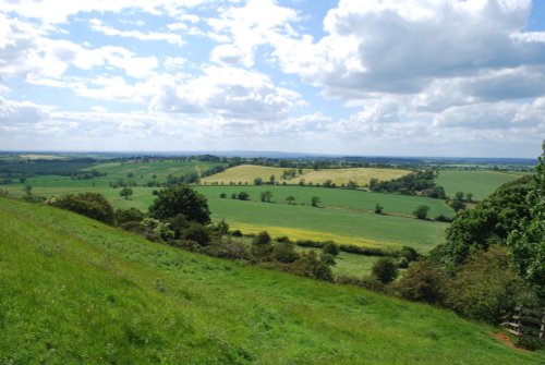
At 690ft above sea level, this open elevated area gives the visitor stunning views of the surrounding Leicestershire countryside, and is an ideal beauty spot for a leisurely walk or picnic.
There is a paid car park, and also has a toilet block.
Grid reference: SK 76190 11880
a Historic Market Town in the county of Leicestershire
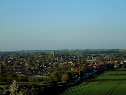
(4.7 miles, 7.5 km, direction N)An historic market town famous for its Pork packed pies and Stilton cheeses, both are savoured all over Britain and in many other countries...
in the county of Rutland
(6.2 miles, 10.0 km, direction E)For centuries the countryside around Oakham has echoed to the sound of hunting horns, for the vales and rolling farmland surrounding this sedate market town, have been the stamping ground for the counties hunting fraternity...
in the county of Leicestershire
(9.7 miles, 15.5 km, direction S)Easter Monday sees the villages of Hallaton and Medbourne engaged in a riotous 'bottle kicking' contest which is said to have pagan origins...

in the county of Leicestershire
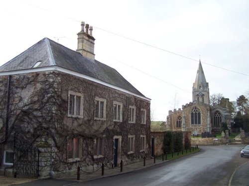
(11.1 miles, 17.9 km, direction W)Rothley is a delightful village with two village greens, one is flanked by some of the country's finest timber framed houses. The village shows a graceful selection of architecture including pretty Cruck Cottages...
a Historic City in the county of Leicestershire
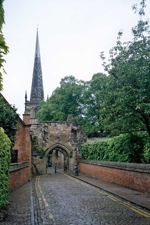
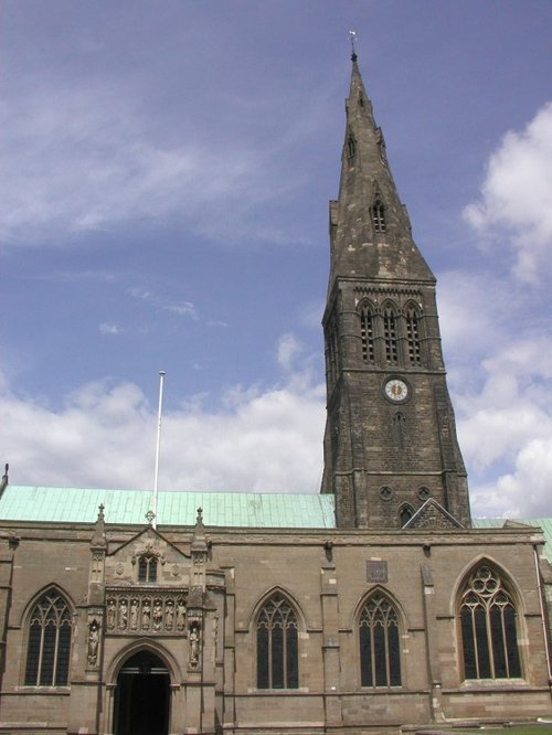
(11.8 miles, 19.0 km, direction W)Leicester is famed amongst other things for its fine parish church which was raised to Cathedral status in 1927...
All towns in Leicestershire
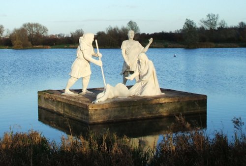
Rutland Water is the largest reservoir in England (by surface area) and one of the largest artificial lakes in Europe. Its.....
..
..
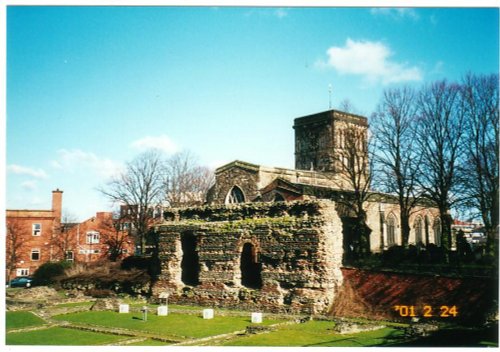
This is Leicester's leading Museum of Archaeology, showing an extensive range Roman finds as well as other unique historic relics.....
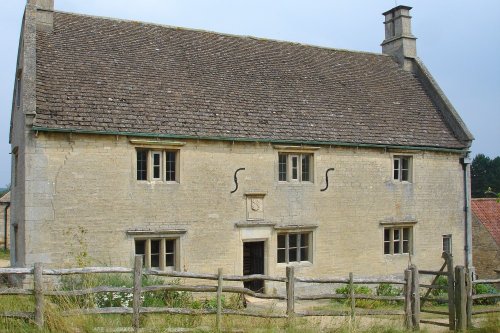
Called a manor but in reality this is the farmhouse where Isaac Newton was born in 1642. The house remains very much during.....
Follow PicturesOfEngland.com on social media and help share the beauty of England....