Please login or click here to join.
Forgot Password? Click Here to reset pasword
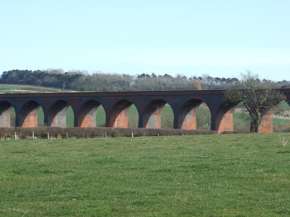
If you would like to add a description of John O'Gaunt, please use our John O'Gaunt forum here. To upload your John O'Gaunt photography and create your very own 'Pictures of England Gallery', click here or here to join the site and become part of the Pictures of England community, or simply see below for nearby recommended towns, attractions, and John O'Gaunt accommodation.

An historic market town famous for its Pork packed pies and Stilton cheeses, both are savoured all over Britain and in many other countries...
For centuries the countryside around Oakham has echoed to the sound of hunting horns, for the vales and rolling farmland surrounding this sedate market town, have been the stamping ground for the counties hunting fraternity...
Easter Monday sees the villages of Hallaton and Medbourne engaged in a riotous 'bottle kicking' contest which is said to have pagan origins...
Rothley is a delightful village with two village greens, one is flanked by some of the country's finest timber framed houses. The village shows a graceful selection of architecture including pretty Cruck Cottages...
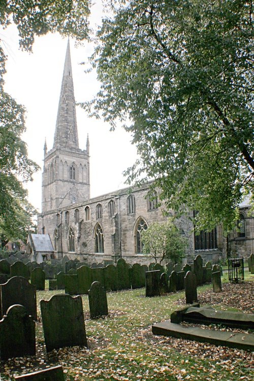
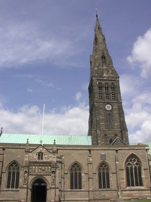
Leicester is famed amongst other things for its fine parish church which was raised to Cathedral status in 1927...
..

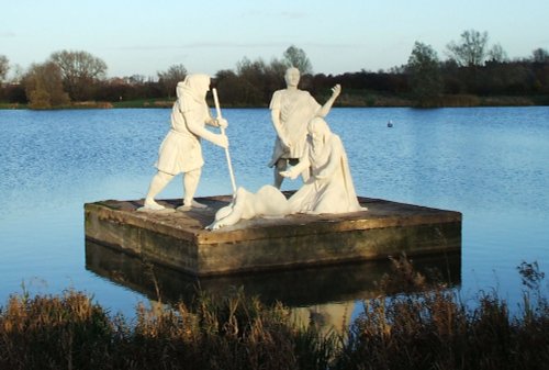
Rutland Water is the largest reservoir in England (by surface area) and one of the largest artificial lakes in Europe. Its.....
..
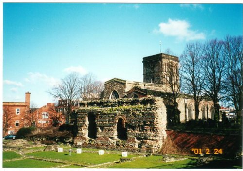
This is Leicester's leading Museum of Archaeology, showing an extensive range Roman finds as well as other unique historic relics.....
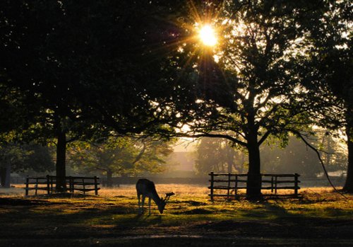
Comprising of 850 acres of land with roaming deer, Bradgate Park is Leicestershire's largest and most popular country.....
..
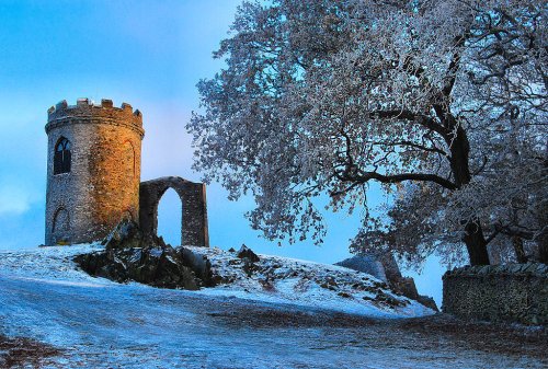
Standing on a hill overlooking Bradgate Park, Old John Tower folly.....
Follow PicturesOfEngland.com on social media and help share the beauty of England....