Please login or click here to join.
Forgot Password? Click Here to reset pasword
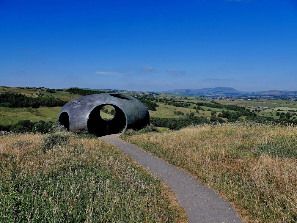
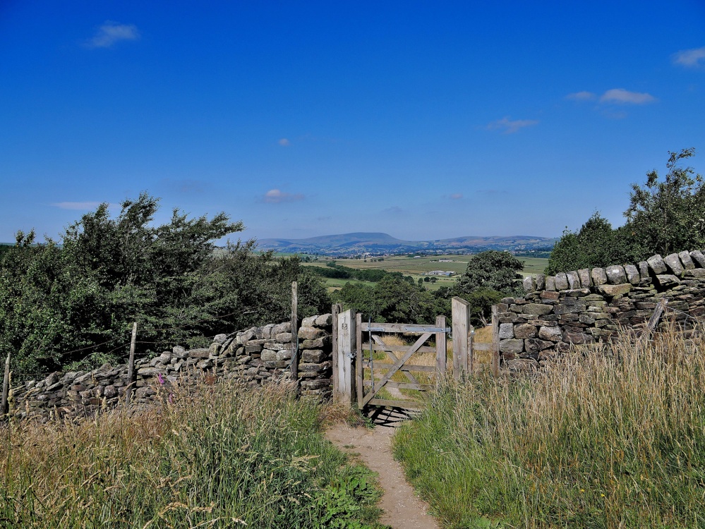
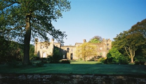
Wycoller Country Park is one of the prettiest country parks in Lancashire. The area is famous for its association with the Brontë sisters who referred to many of the nearby landmarks in books such as Wuthering Heights and Jane Eyre.
The exclusion of cars from the village and the attractive appearance of the many preserved old buildings creates a unique feeling of tranquillity which is rarely experienced today.
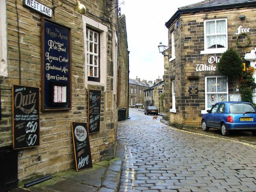
a Picturesque Village in the county of West Yorkshire
(6.1 miles, 9.9 km, direction E)Haworth is famous the world over for its connections with the Bronte sisters, the famous novelists...
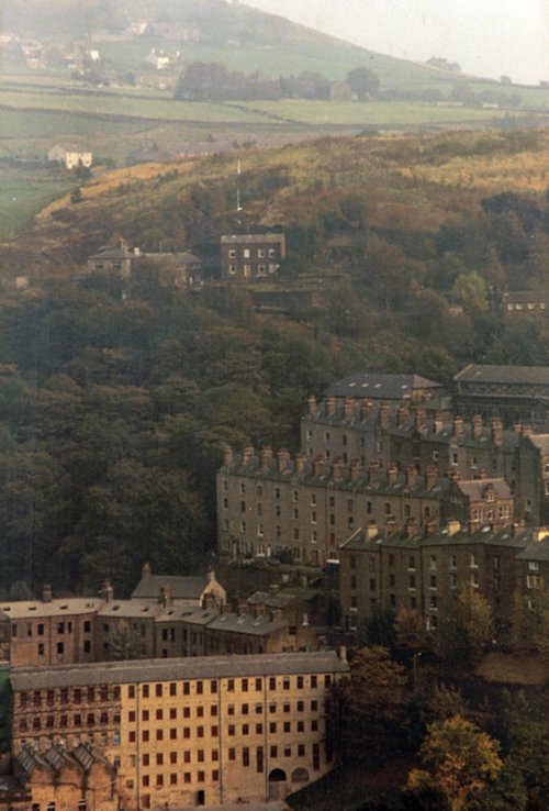
a Historic Market Town in the county of West Yorkshire
(7.9 miles, 12.7 km, direction SE)This beautiful old town grew up close to the River Hebden at the point where a stone bridge was built as part of a pack-horse route in the 16th century...
a Historic Market Town in the county of North Yorkshire
(8.8 miles, 14.2 km, direction NE)Long considered "The Gateway to the Dales" which lye to the north, moors extend southwards, and the tranquil countryside of the Ribble Valley is to the west...
in the county of West Yorkshire
(9.0 miles, 14.5 km, direction S)Todmorden lies on the historic border between Yorkshire and Lancashire in an area of the Calder Valley ringed by the hills of the Pennines...
in the county of West Yorkshire
(9.3 miles, 15.0 km, direction E)Harden lies in the famous countryside area between Cullingworth and Bingley surrounded by rivers and meadows. It is a favoured commuter base for those working in nearby Bradford...
All towns in Lancashire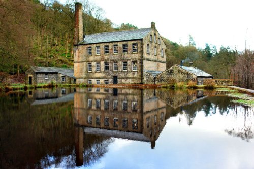
Beautiful wooded valley with 19th-century Gibson Mill at its heart, an exemplar of sustainable energy. This is the flagship.....
..
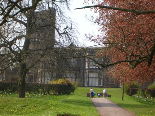
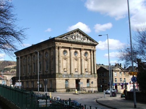
The approach to Cliffe Castle Museum, gives the visitor little hint of the amazing treat in store, for awaiting is a magnificent.....
..
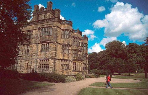
Gawthorpe Hall, home of the Shuttleworth family for several centuries lies close to the traditional Lancastrian market town of.....
Follow PicturesOfEngland.com on social media and help share the beauty of England....