Please login or click here to join.
Forgot Password? Click Here to reset pasword
If you would like to add a description of Ashurst, please use our Ashurst forum here. To upload your Ashurst photography and create your very own 'Pictures of England Gallery', click here or here to join the site and become part of the Pictures of England community, or simply see below for nearby recommended towns, attractions, and Ashurst accommodation.
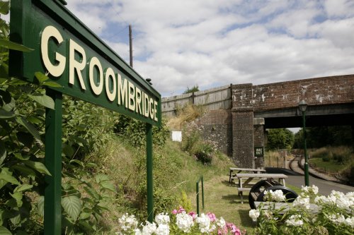
In an area of attractive, outstanding villages, Groombridge with its 18th-century tiled cottages against the back-drop of a beautiful village green, stands out as being the very epitome of the perfect English village...

A picturesque village in Kent close to tonbridge and Royal Tunbridge Wells. Nearby attractions include Penshurst Place, a medieval House and gardens thats well worth a visit..

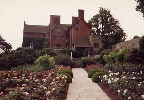
Fascinating village, owned by the National Trust which is crammed with beautiful properties from the 16th and 17th-century probably built with iron-industry money...
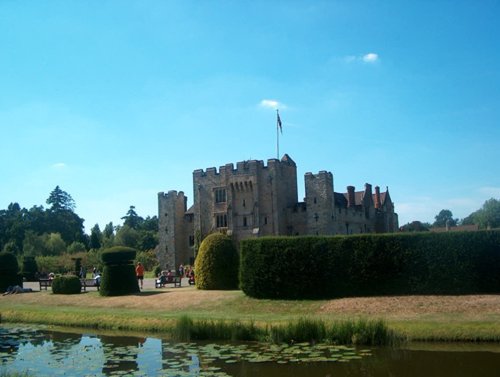
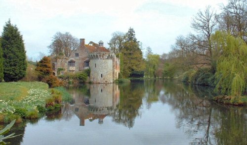
The beautiful town of Hever is dominated by the magnificent moated castle that was the girlhood home of Anne Boleyn....

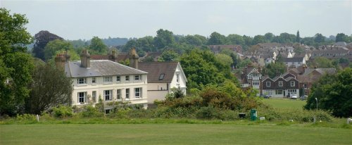
Also known as Royal Tunbridge Wells and only a short distance from London, this popular spa town gained a reputation as the place to see and be seen during Georgian Times frequented by royalty and fashionable members of aristocracy. It also happens to be surrounded by some of the most beautiful countryside in England. ..

..
..
..
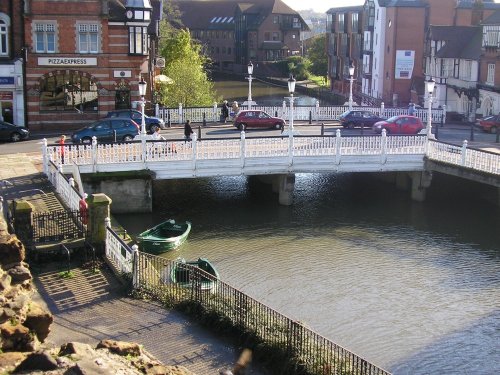
Fine streets show a rich variety of architecture including typical Wealden tile-hung properties, and handsome Georgian and Victorian buildings dominating the river scene...
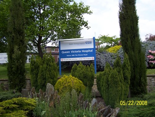
East Grinstead became notable following World War II for its Queen Victoria Hospital where remarkable plastic surgery operations were performed on badly burned servicemen...
..
..
This is a tranquil, historic village lying close to the beautiful River Rother. The village stands on a ridge in a lovely rural location with panoramic views over the valley...

..
..
Shipbourne is a picturesque village situated between Sevenoaks and Tonbridge...
..
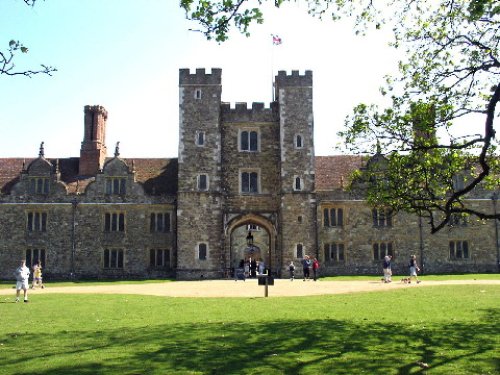
Sevenoaks is a popular and prosperous residential town whose origins are rooted in the 12th-century...
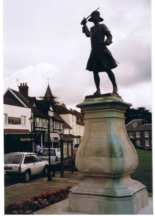
This charming little town situated at the edge of the North Downs is famed for its association with General Wolfe of Quebec, and the greatest Englishman of the last century, if not of all times, Sir Winston Churchill...

..
..
..
Brenchley is a beautiful "showpiece" village full of picturesque Tudor cottages, complimented by houses from the Regency and Victorian periods...
This is a picturesque Kentish village at the centre of the counties hop growing fields. It has interesting Oast houses and a concentration of charming brick built cottages...
The village grew out of a Saxon settlement, near the spot of one of the entrances to Sheffield Park, now owned by the National Trust...
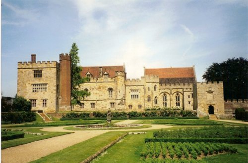
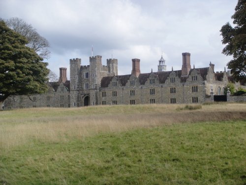
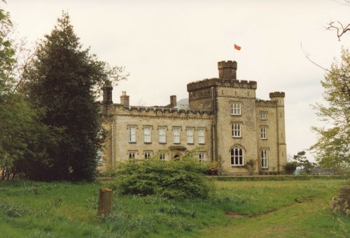
A beautiful Medieval Manor House set in 11 acres of beautifully landscaped gardens, which date back to 1346. The manor House has.....
..
The very mention of Hever Castle conjures up memories of Anne Boleyn, the bewitching young girl for whom Henry VIII divorced.....
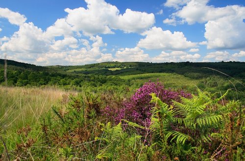
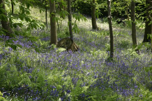
Ashdown Forest is a magnificent area of mixed woodland and heathland in the High Weald Area of Outstanding Natural Beauty. It.....
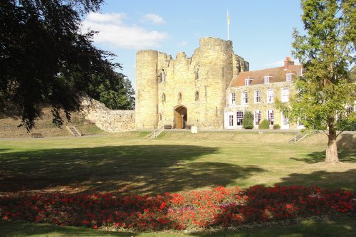
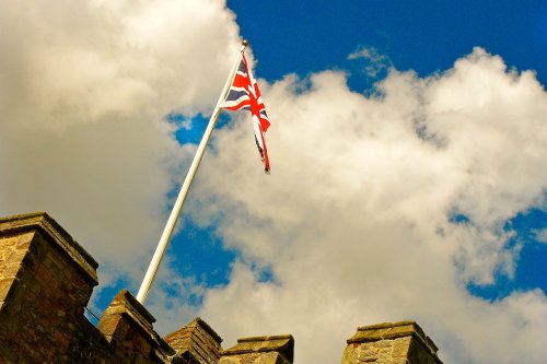
A fire in 1088 destroyed the first castle at Tonbridge, and the evocative remains we see today are of a later castle which was.....
The home of Sir Winston Churchill, from 1924 until his death. Churchill purchased it for its magnificent views across the weald.....

Built in the 13th century, and set in beautiful surroundings, Bayham Abbey is a favourite of painters and photographers...
Follow PicturesOfEngland.com on social media and help share the beauty of England....
