Please login or click here to join.
Forgot Password? Click Here to reset pasword
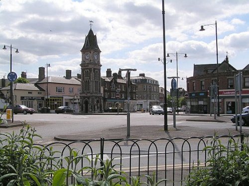
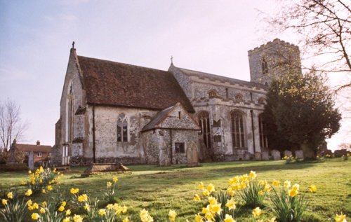
If you would like to add a description of The Apes Hall, please use our The Apes Hall forum here. To upload your The Apes Hall photography and create your very own 'Pictures of England Gallery', click here or here to join the site and become part of the Pictures of England community, or simply see below for nearby recommended towns, attractions, and The Apes Hall accommodation.

..
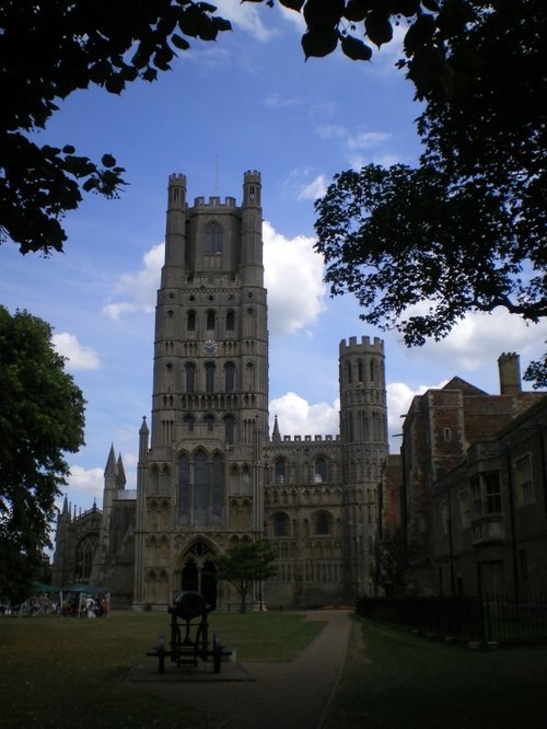
The early life of Ely began with a monastry and town situated on an island in the midst of a vast expanse of marshland in the middle of the Fens...
..
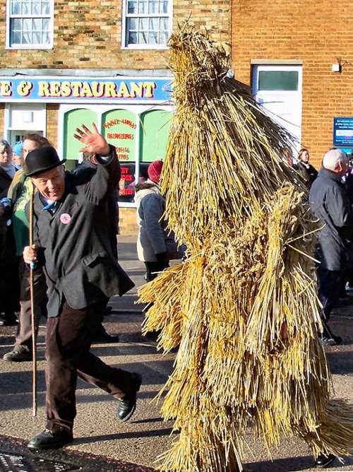
A curiosity of the town is the tradition of the March, March march. This is when a group of Cambridge students gather in the town to walk back to Cambridge stopping at all convenient inns to quench their thirst!..

..

..
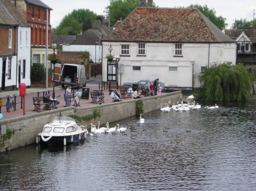
Wisbech stands on the River Nene, almost 12 miles from the sea, at one time it was closer but changing river patterns over the passing years have altered its position in relation.....
..

..

..
..

..
..
Cockley Cley is famous for its beautiful reconstruction of a village once lived in by the Iceni tribe at the time of Queen Boudicca...
..
..
..
..
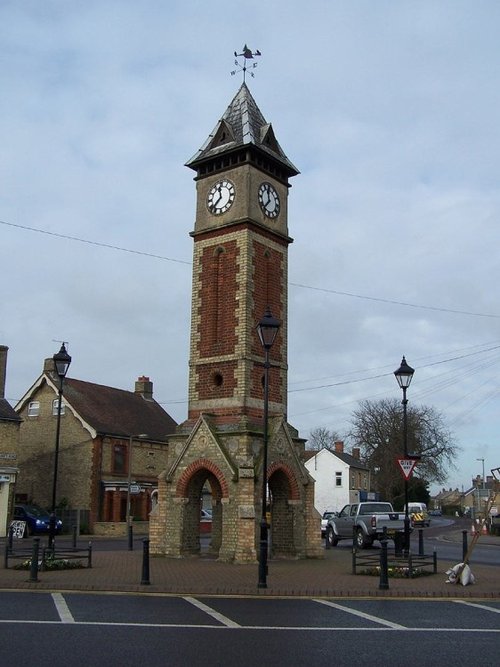
You can hardly drive through this handsome town without seeing some reminder that the history of the town..
..
Whittlesey is an old area of Cambridge, it is mentioned in the Doomsday Book of 1086...

..
This attractive market town has one of the most highly picturesque river bridges in the country. The bridge dates to the 15th century and is famous for the chapel in its centre bay, it is one of only four medieval bridge chapel's surviving in England...

..
..
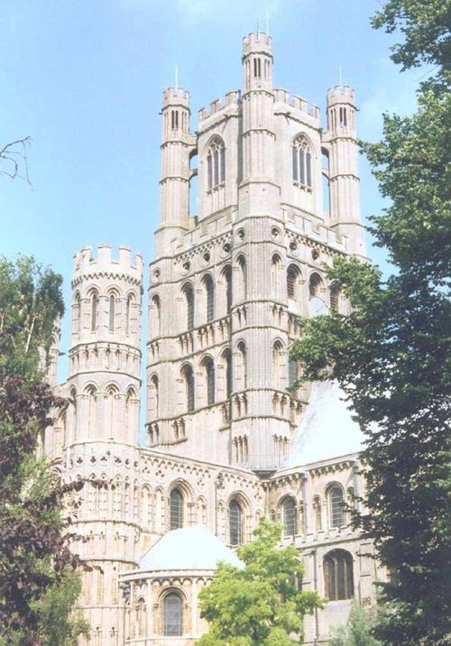
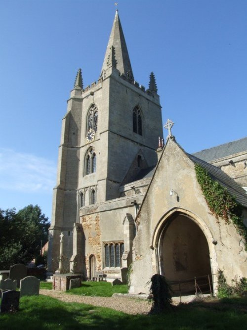
Sitting majestically above the River Ouse, Ely cathedral presents an awesome sight with its towers sweeping 217 feet towards an.....
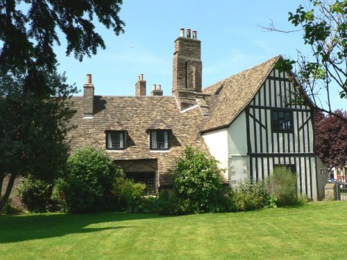
Oliver Cromwell (1599-1658) was Lord Protector of England from 1653 until 1658. For the years spanning 1636 to 1647 Cromwell and.....
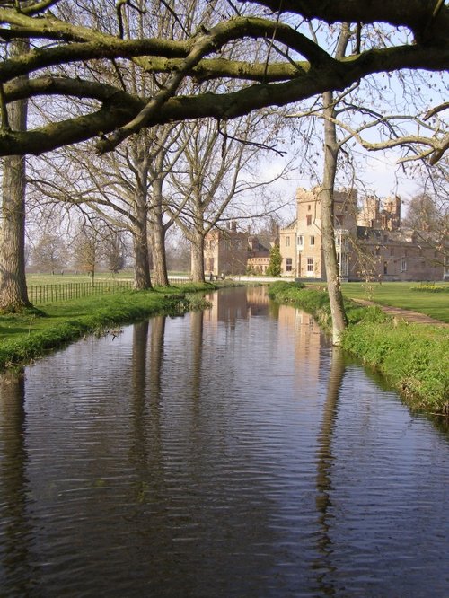
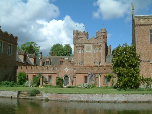
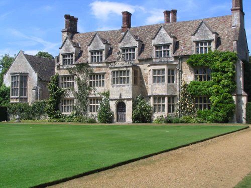
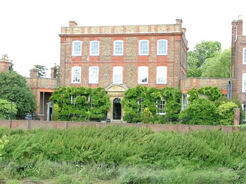
This fascinating house with its striking twin towers to either side of the entrance hall, gables, roof-line turrets and tall.....
Elegant Georgian town house with wonderful walled garden...
..
This lovely museum hidden in lush Breckland countryside is set to delight and intrigue visitors of all ages. The atmospheric.....

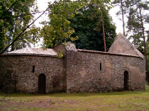
This attractive house was formerly a priory of Augustinian canons, founded around 1135. It's name does not relate to the island.....
Follow PicturesOfEngland.com on social media and help share the beauty of England....