Please login or click here to join.
Forgot Password? Click Here to reset pasword
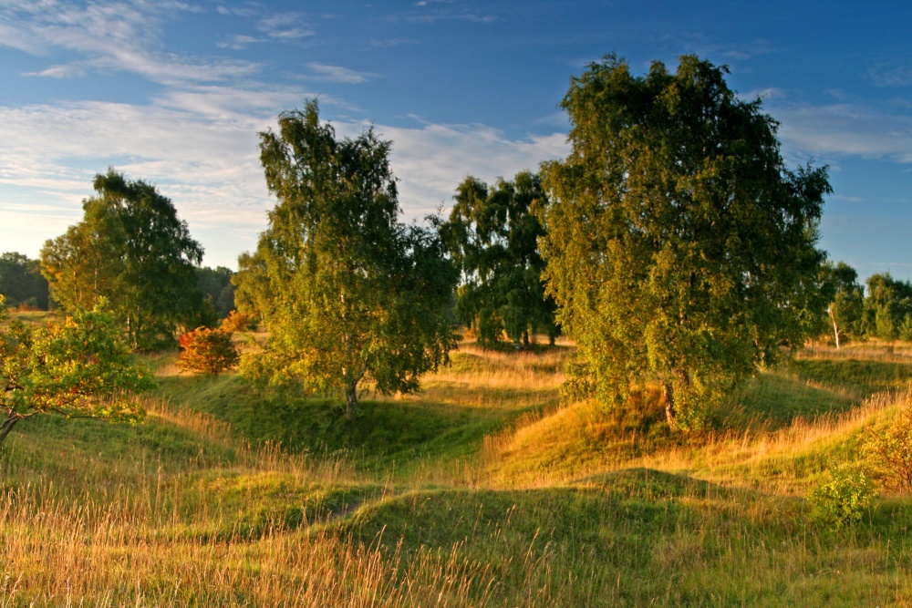
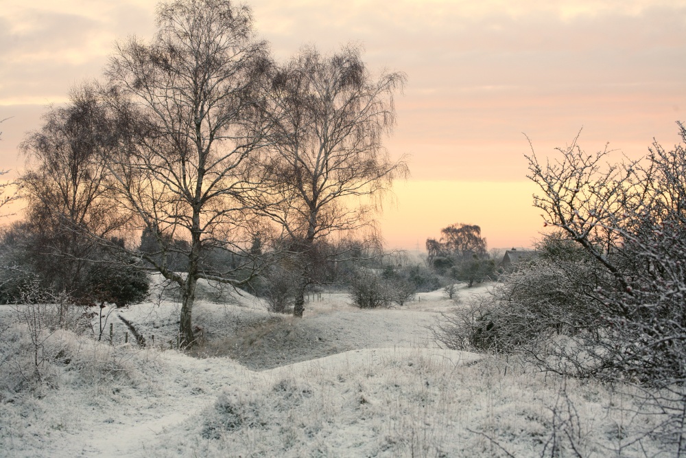
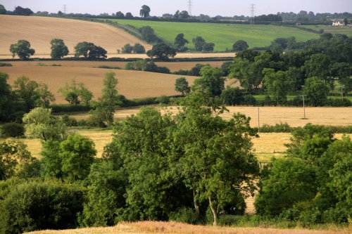
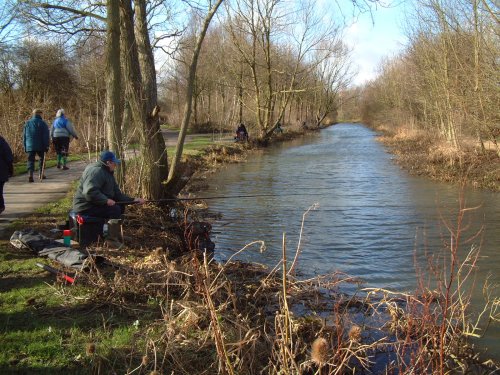
Arising from the rubble of a mediaeval quarry, Barnack Hills and Holes is one of Britain�s most important wildlife sites, its grassy slopes home to a profusion of wild flowers.
Half the surviving limestone grassland in Cambridgeshire is found at the site, and in 2002 it was designated as a Special Area for Conservation (SAC), to protect the orchid rich grassland.
(www.english-nature.org.uk)
a Historic Market Town in the county of Lincolnshire
(3.1 miles, 5.1 km, direction NW)Of the 17 churches, only 6 now remain in Stamford, which is without doubt, one of the finest medieval towns in the British Isles, if not in Europe...

in the county of Northamptonshire
(7.2 miles, 11.6 km, direction S)The lantern tower of the Church of St. Mary and All Saints at Fotheringhay shines through the deepening shadows of the great trees that frame it, shadows matched in darkness by those less visible that haunt the village where the final tragedy of Mary, Queen of Scots was enacted...
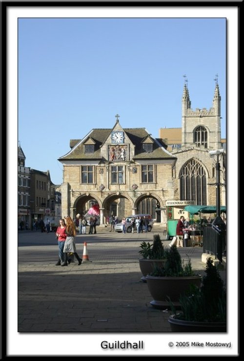
a Historic City in the county of Cambridgeshire
(8.5 miles, 13.6 km, direction SE)The magic of Peterborough lies in the richness of its beautiful Cathedral. It is a glorious historical treasure house, it is unique and quite beyond compare...
in the county of Rutland
(13.7 miles, 22.1 km, direction W)For centuries the countryside around Oakham has echoed to the sound of hunting horns, for the vales and rolling farmland surrounding this sedate market town, have been the stamping ground for the counties hunting fraternity...
in the county of Lincolnshire
(15.7 miles, 25.3 km, direction NE)In springtime, the town of Spalding, in it's favoured position on the banks of the River Welland becomes a riot of blazing colour as tulips, daffodils and other glorious spring flowers come into bloom...
All towns in Cambridgeshire
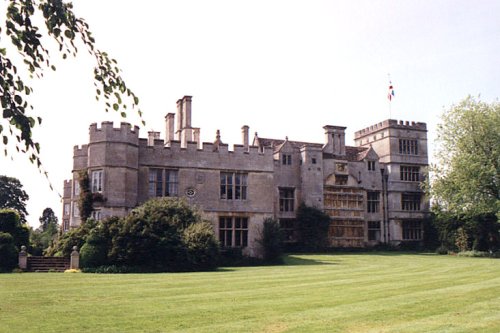
This is a graceful house which perfectly epitomises the wealth of the prosperous Elizabethan period. Burghley was completed in.....
..

The magnificent cathedral church in Peterborough was given cathedral status by Henry VIII in 1541. Formerly it had been one of.....
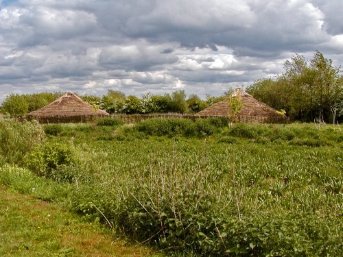
This is a wonderful heritage museum which began when the site was uncovered during excavations of 1982. It focus's on the.....
..
Follow PicturesOfEngland.com on social media and help share the beauty of England....