 |
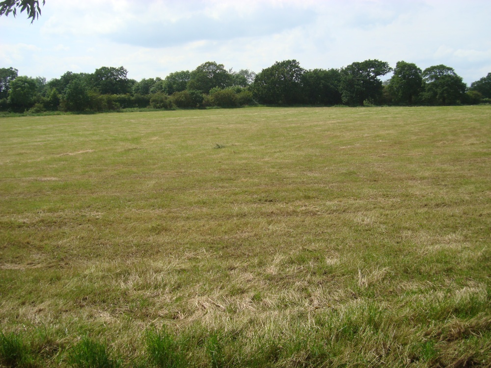
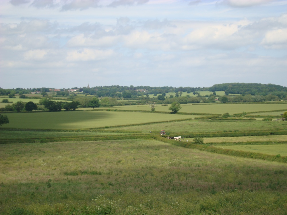
Viewpoint in SW side of the Battlefield The trees in the modern landscape make the lie of the land quite hard to see. The medieval landscape was more or less devoid of trees as a system of open field farming prevailed. This method was widespread and created a rathed barren landscape. From this spot in 1485 you would be able to see Dadlington windmill and most of Norfolk's army (Yorkists) throughout the Battle. You would also be able to hear the roar of the guns and the screams of the dying. This picture appears in the following picture tours: Camera Make: SONY� Model: DSC-W200� |
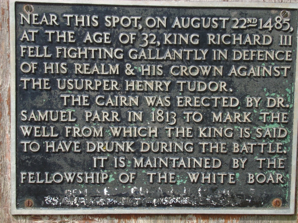 |
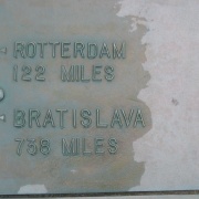
Commemorative plaque on the King Richard's Well This picture appears in the following picture tours: Camera Make: SONY� Model: DSC-W200� |
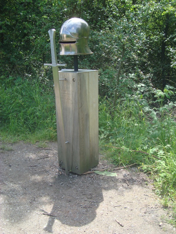 |
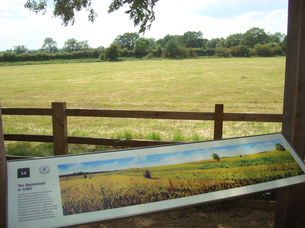
Interpretation panel This picture appears in the following picture tour: Camera Make: SONY� Model: DSC-W200� |
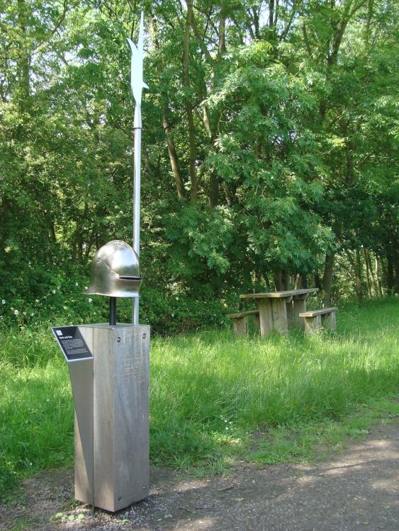 |
Interpretation panel This picture appears in the following picture tour: Camera Make: SONY� Model: DSC-W200� |
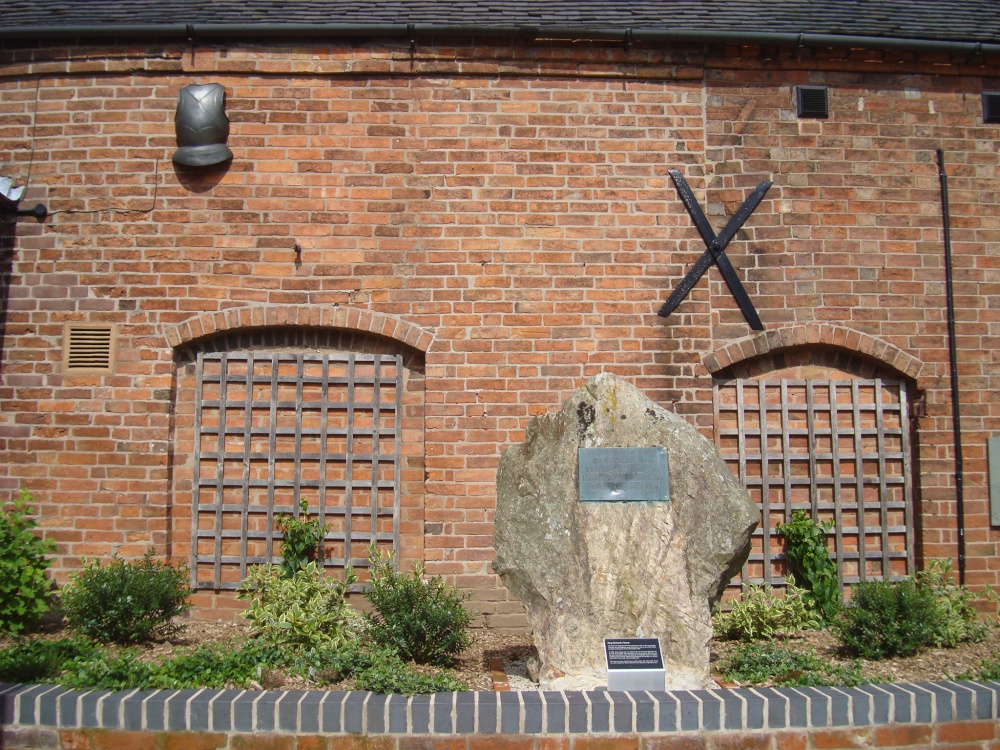 |
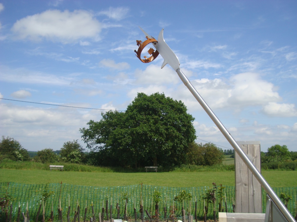
King Richard's Stone This stone was originally erected near Shenton in 1974 as this was thought to be the site of Sandeford, where Richard III is said to have died during the Battle of Bosworth on the 22nd August 1485. In 2009 after several years of careful study and extensive fieldwork, the true site of the battle was discovered in the area around Mill Lane and Fenn Lane Roman Road. The likely site is Sandeford, close to a proven medieval marsh and the findspot of the Bosworth Boar badge is on private land 2,5 km to the SW of Ambion Hill. The stone has been moved here to allow better and safer public access to it, and to allow the field at Shenton to be returned to agricultural use. This picture appears in the following picture tour: Camera Make: SONY� Model: DSC-W200� |
 |
King Richard's Well This picture appears in the following picture tour: Camera Make: SONY� Model: DSC-W200� |
 |
King Richard's Well This picture appears in the following picture tour: Camera Make: SONY� Model: DSC-W200� |
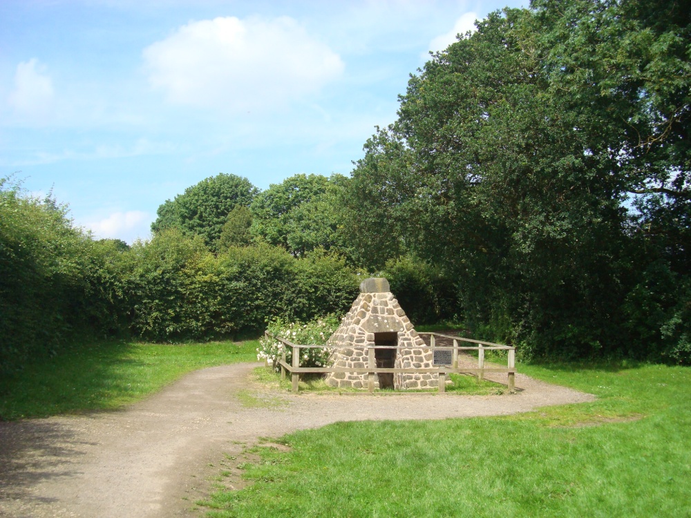 |
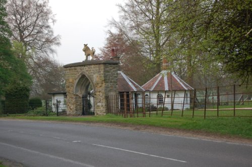
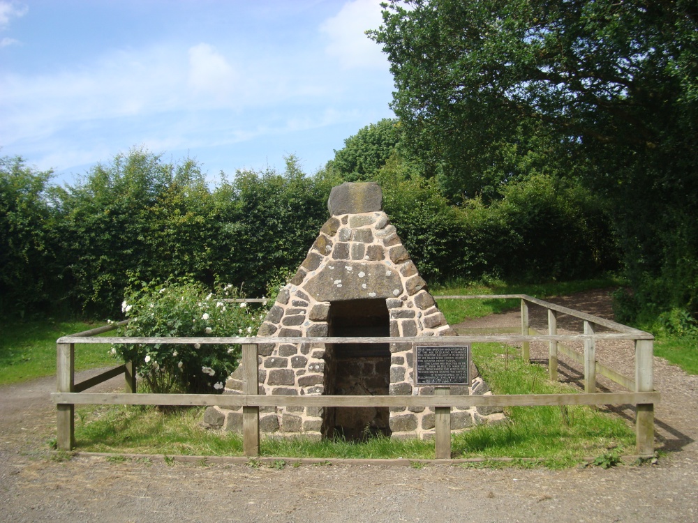
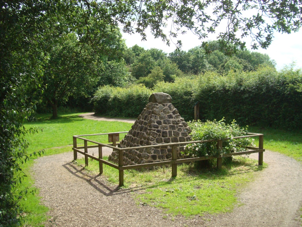
King Richard's Well This cairn was built by the Reverend Samuel Parr in 1813. It is on the site of a spring, which would have once provided water for the medieval village of Ambion, which lies between this spot and the Heritage Centre. According to local legend King Richard III's last drink was of water at this spring during heavy fighting in the battle on 22nd August 1485. This picture appears in the following picture tours: Camera Make: SONY� Model: DSC-W200� |
 |
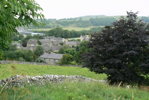
Surrounding landscape from Ambion Hill This picture appears in the following picture tours: Camera Make: SONY� Model: DSC-W200� |
 |
Surrounding landscape from Ambion Hill This picture appears in the following picture tour: Camera Make: SONY� Model: DSC-W200� |
 |
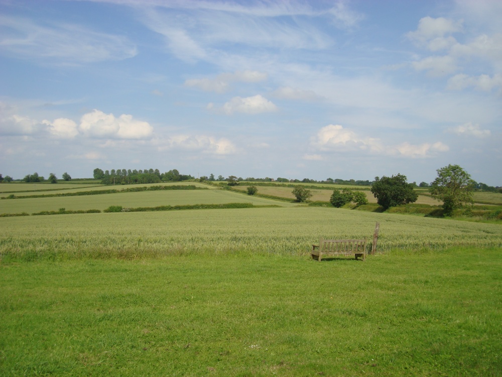
Viewpoint in SW side of the Battlefield This picture appears in the following picture tour: Camera Make: SONY� Model: DSC-W200� |
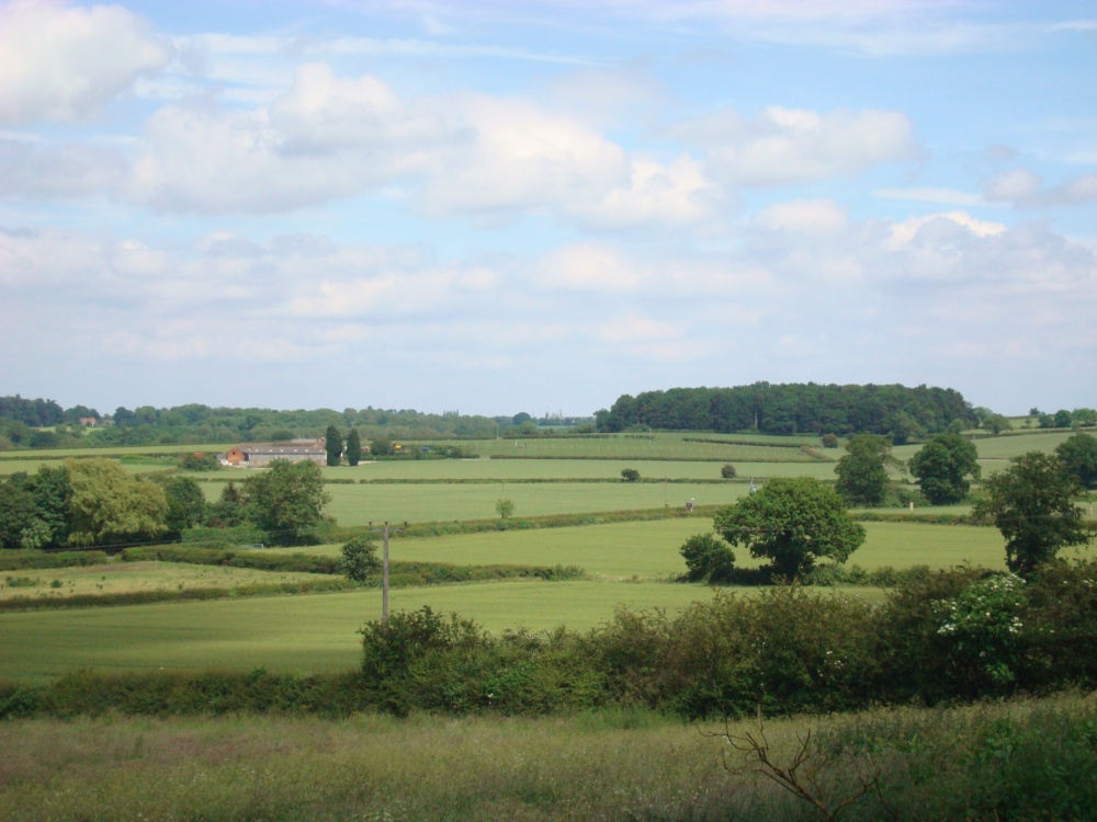 |
Surrounding landscape This picture appears in the following picture tours: Camera Make: SONY� Model: DSC-W200� |
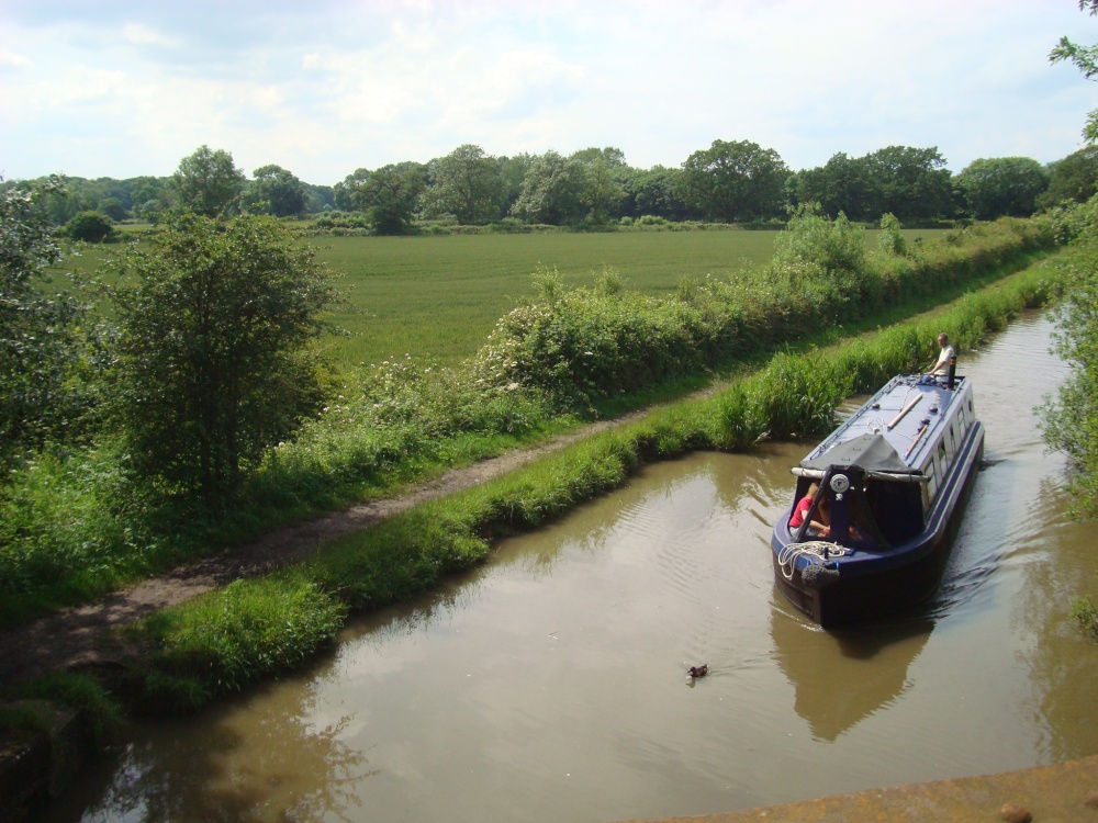 |
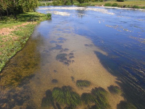
West side of the Battlefield and the Ashby Canal As a contour canal, the Ashby Canal is sinuous, but this stretch along the southern edge of Ambion Wood, close to the site of the Battle of Bosworth Field, is relatively straight. This picture appears in the following picture tours: Camera Make: SONY� Model: DSC-W200� |
 |
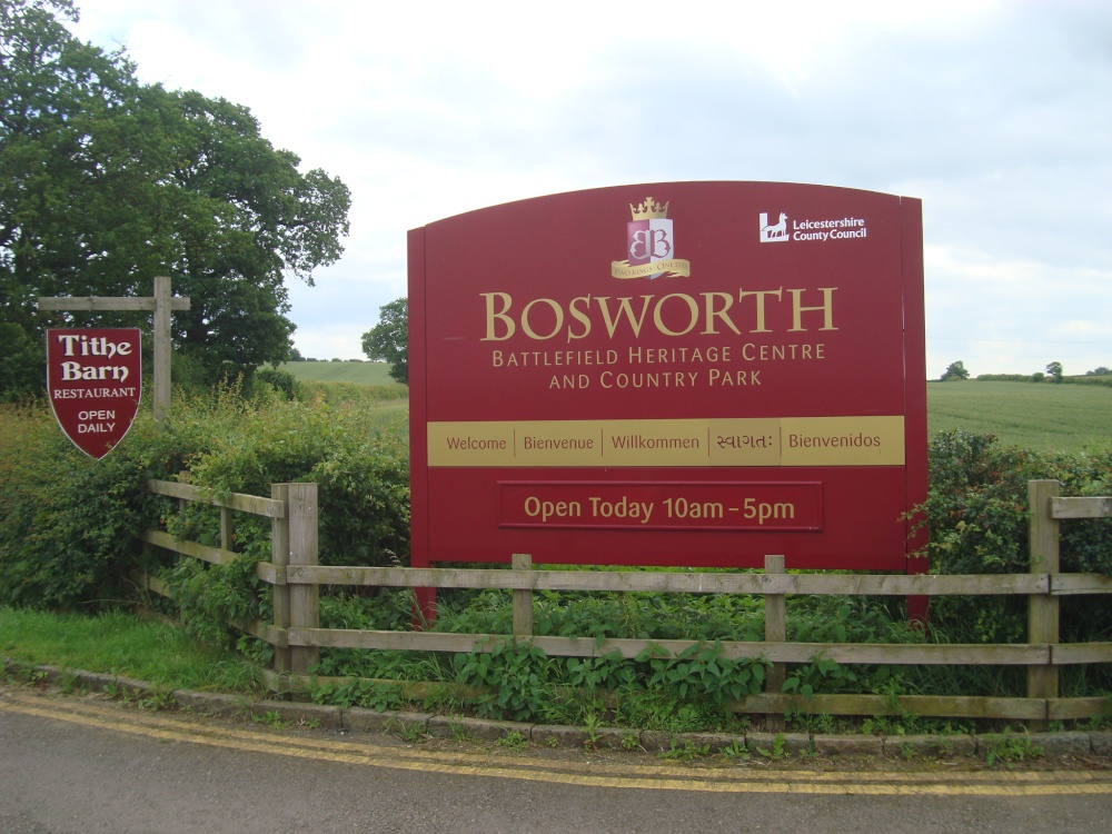
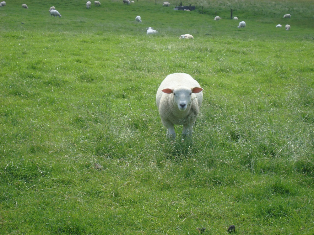
Ambion Hill It is located in Bosworth Field, the site of the last great medieval battle in 1485, and the final battle of the War of the Roses. This picture appears in the following picture tours: Camera Make: SONY� Model: DSC-W200� |
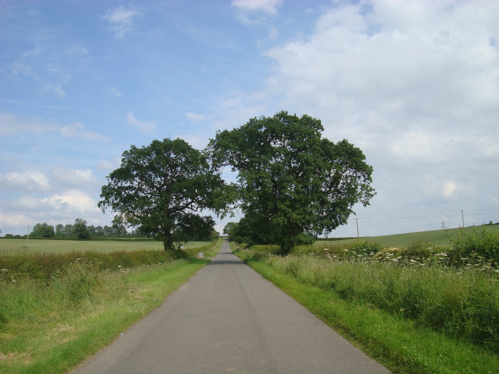 |
Ambion Lane towards Sutton Cheney This picture appears in the following picture tours: Camera Make: SONY� Model: DSC-W200� |
 |
Ambion Lane, Sutton Cheney This picture appears in the following picture tours: Camera Make: SONY� Model: DSC-W200� |
 |
And you who such? This picture appears in the following picture tour: Camera Make: SONY� Model: DSC-W200� |
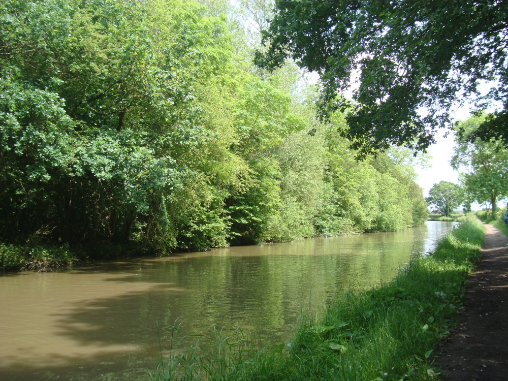 |
Ashby Canal and Ambion Wood The canal was opened in 1804 and provides 22 miles of lock free cruising. Originally it went as far north as Conkers (near Moira), but never reached Ashby-de-la-Zouch. Coal was carried on a regular commercial basis until the 1960s. At present the canal stops at Snarestone, though the eight mile stretch to Moira is being restored. This picture appears in the following picture tour: Camera Make: SONY� Model: DSC-W200� |
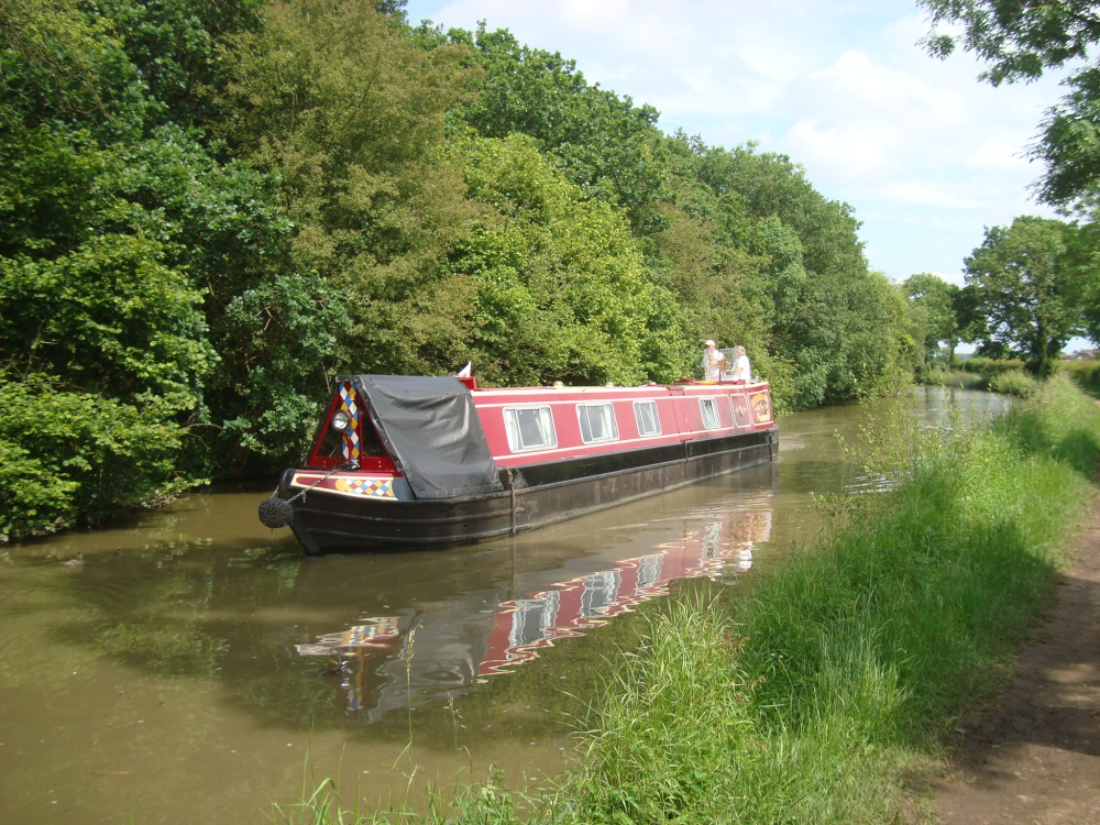 |
Ashby Canal Ashby Canal passes through Battlefield West side. This picture appears in the following picture tours: Camera Make: SONY� Model: DSC-W200� |
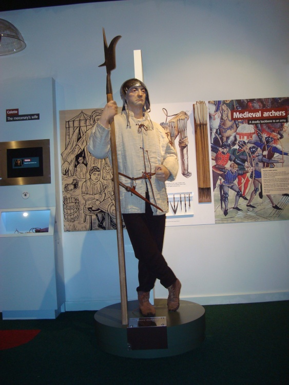 |
Foot soldier This picture appears in the following picture tour: Camera Make: SONY� Model: DSC-W200� |
Enjoy this site?
Please help us stay online by making a donation today - thank you for your kind support.

Follow PicturesOfEngland.com on social media and help share the beauty of England....