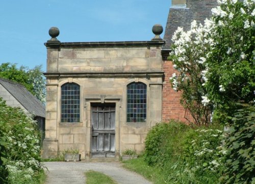
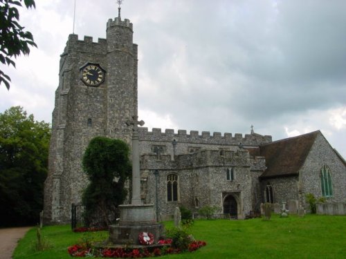
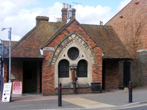
If you would like to add a description of Great Chart, please use our Great Chart forum here. To upload your Great Chart photography and create your very own 'Pictures of England Gallery', click here or here to join the site and become part of the Pictures of England community, or simply see below for nearby recommended towns, attractions, and Great Chart accommodation.
A wonderful historic village set in the beautiful Kent Downs, above the valley of the River Stour. The village's medieval square gives a real sense of history, with its stunning timber-framed buildings, ancient church and fantastic medieval castle...
This delightful seaside resort is one of the five original Cinque Ports, it can trace its noble history all the way back to AD732 when it was granted a charter by the Saxon King Ethelred...
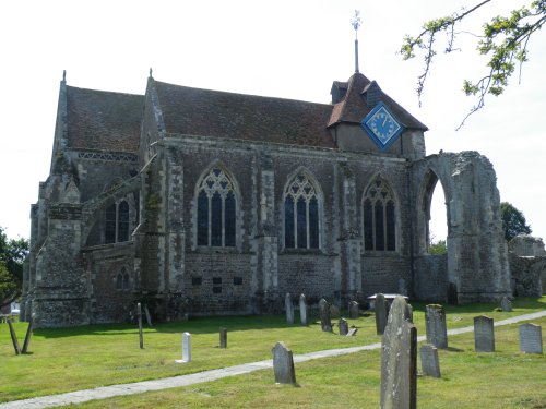
There is record of settlements in the area in pre-historic times, it is known that the Romans and the Anglo-Saxons both established villages...
Cranbrook is an old rural town of numerous streets and alleys, all still true to their medieval layout...
Rye is a picturesque and historic town with cobbled streets, medieval architecture, and panoramic views of the surrounding countryside...
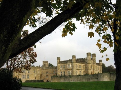
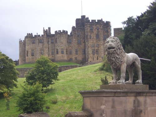
Listed in the Domesday Book, this castle has been a Norman stronghold, a royal residence for six of England's medieval queens, a.....
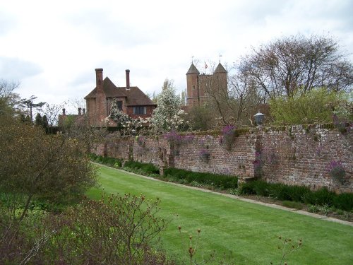
It is entirely fitting that one of the loveliest gardens in the land can be found in a county renowned for its beauty and.....
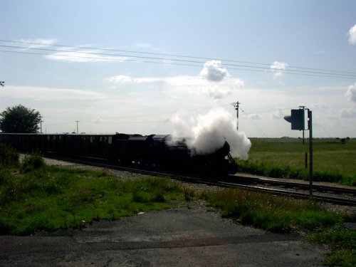
First opened to traffic in July 1927 as the 'World's Smallest Public Railway' and now covering a distance of 13.5 miles from the.....
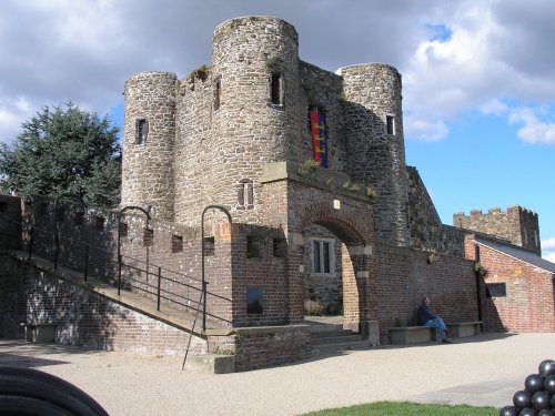
Rye Castle Museum, also known as 'Ypres Tower', in the beautiful maritime town of Rye, occupies a commanding position.....
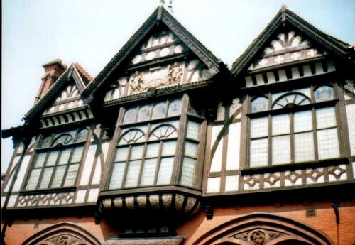
The Canterbury Royal Museum is housed in a magnificent Victorian building of russet brick and impressive black and white timber.....
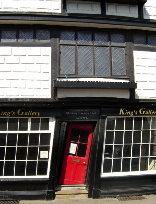
The Crooked House of Canterbury, otherwise known as Sir John Boys house, is an eye-catching feature of Palace Street, and is.....
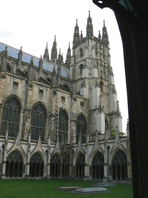
This magnificent cathedral has been a place of pilgrimage for hundreds of years. It was the scene of Thomas a' Becket's murder.....
Enjoy this site?
Please help us stay online by making a donation today - thank you for your kind support.

Follow PicturesOfEngland.com on social media and help share the beauty of England....