Shaftsbury is Dorset's only hill-top town, with its long history and good views it is particularly attractive to tourists...

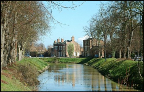
A small attractive Market Town in Dorset...
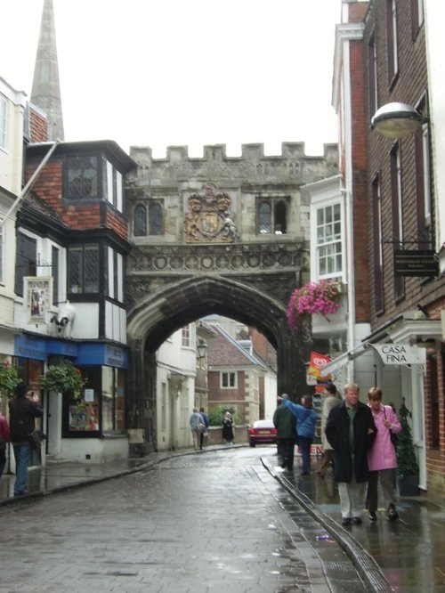
The soaring grace of Salisbury Cathedral's slender spire rises majestically over the town. Higher than any other in the land, at 404 feet, the spire can be seen against the.....
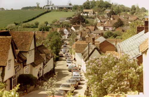
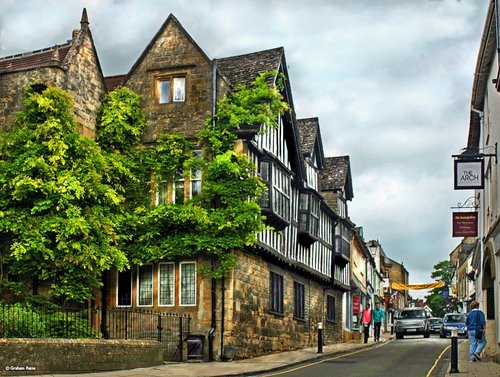
Trowbridge is a historic town crammed with attractive stone buildings. It originated as a settlement along the Biss and flourished from the wool and weaving trades and from these periods there remain many magnificent merchant houses...
The softly glowing Ham stone of which most of the town properties are built, lends warmth and atmosphere to what is already a unique and attractive place...

Designed by Henry Hoare II, Stourhead is one of England's most picturesque landscape gardens with classic temples and palladian.....
..
On entering the great grounds of Longleat House through the entrance known as "Heaven's Gate" visitors are immediately struck by.....
..
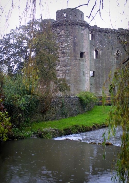
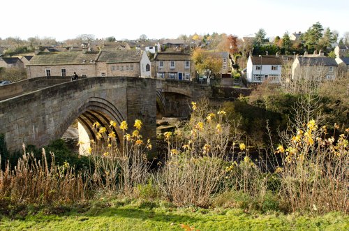
A tradition exists that Nunney Castle's sole pig was subject to daily torture when the castle came under siege in 1645 during the.....
..
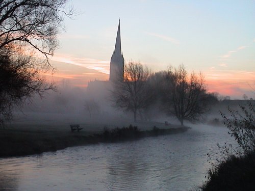
Salisbury Cathedral's graceful spire rises to an elegant 404 feet, it is the tallest cathedral spire in England, and can be seen.....
Enjoy this site?
Please help us stay online by making a donation today - thank you for your kind support.

Follow PicturesOfEngland.com on social media and help share the beauty of England....