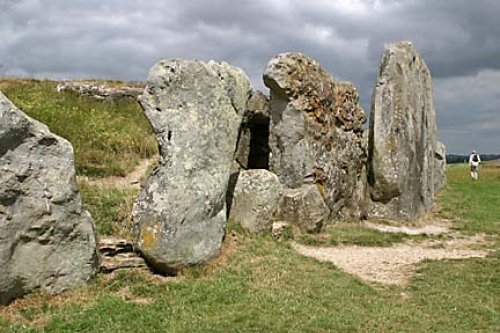
The village of Avebury is world famous for its spectacular stone circle, which some consider more spectacular than Stonehenge. The pretty village also has a 15th century church,.....
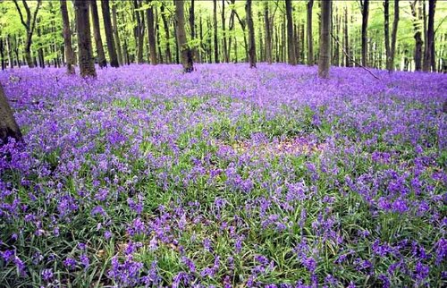
Dramatic chalk downs extend from Berkshire into rural Wiltshire, they are particularly rich in pre-historic remains and shelter a wealth of charming market towns and pretty.....

Gatherings of graceful medieval houses line the streets of Lacock..
The town stakes its claim to be the oldest borough in England on the fact that it was granted a charter in the year 924 by King Edward..

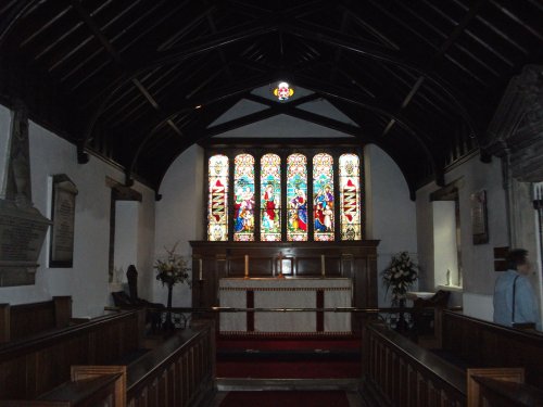
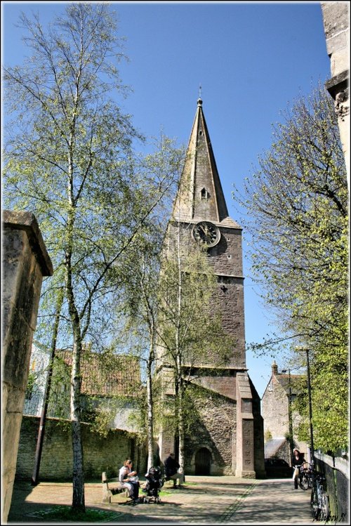
Fairford was granted a market charter in the year 1135 but it is believed that village has its origins way back in the Bronze Age. Its beautiful church is world famous for having the most complete set of Medieval stained glass windows of any parish church in the United Kingdom..
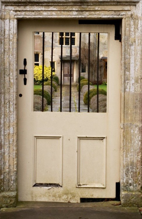
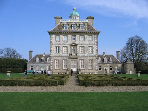
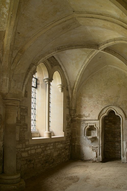
Avebury Manor is a 16th century manor house built on the site of an old monastery. The rich interior of the house shows original.....
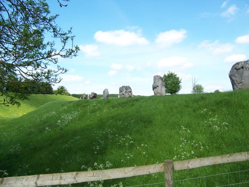
This is the largest and one of the most spectacular stone circles in the world, it certainly eclipses Stonehenge, for not only is.....
There are many fanciful theories about Silbury Hill, the massive conical hill described as the highest artificial mound in.....
..
..
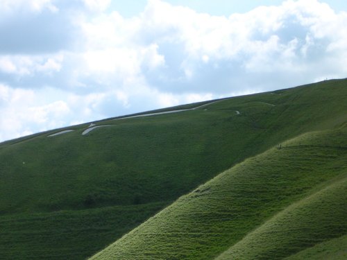
The beautiful Vale of the White Horse is the region lying between the River Thames and the Berkshire Downs. It is an area.....
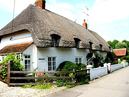
Lacock is one of the most beautiful villages in England, with houses dating from the 15th-century to the 18th-century. At the.....
Enjoy this site?
Please help us stay online by making a donation today - thank you for your kind support.

Follow PicturesOfEngland.com on social media and help share the beauty of England....