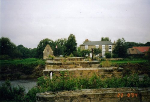
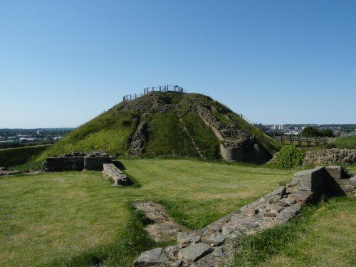
Pontefract has a ruined castle which has seen many tragedies, Richard II was murdered there in 1400, and later it was the scene of bitter, bloody battles between Roundheads and Royalists...
Wakefield was the capital of Yorkshire's woollen industry for more than 700 years, it was an important weaving and dying centre as far back as the 13th century...
In the middle ages Leeds was a wool centre and it flourished. The sheep on the Yorkshire moors providing the wool for the cottage craft industry of spinning and weaving. The.....

Tadcaster has been at the centre of the Brewing industry since the 18th century, and today breweries remain conspicuous on its landscape...
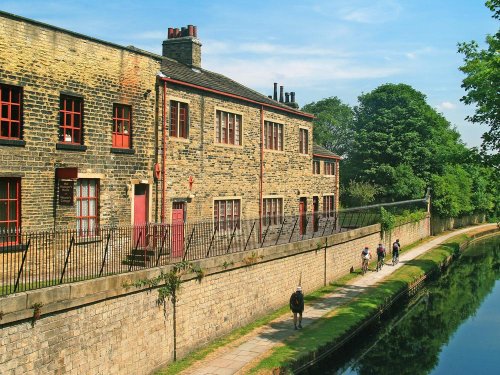
This small town appears to be almost surrounded by water, it developed along the banks of the River Aire and to the east is the Ouse...
..
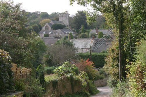
This is a stunning house set in magical grounds. It began life hundreds of years ago but the oldest part of the house we see.....
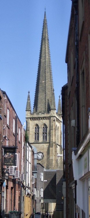
This was formerly the parish church of All Saints, it only became a cathedral at the end of the 19th century. With its.....
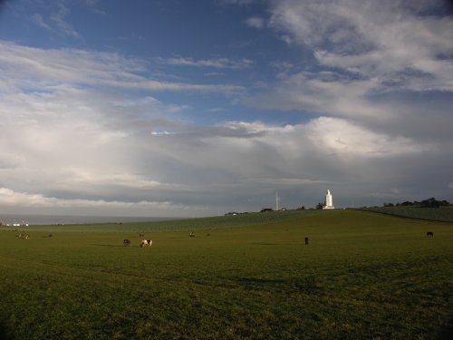
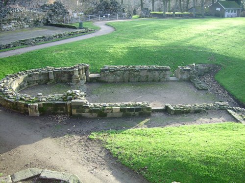
The crumbling, naked ruins of Sandal Castle are now owned by Wakefield council, and what an inspired choice of centre-piece they.....
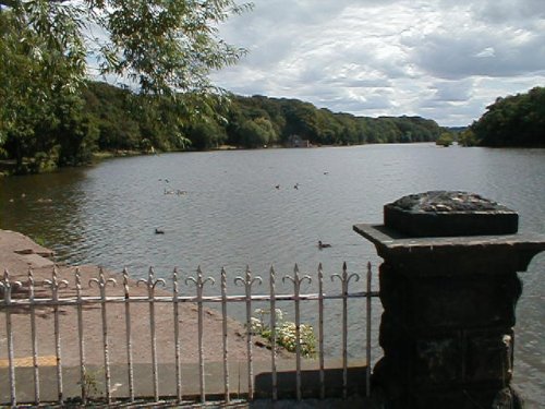
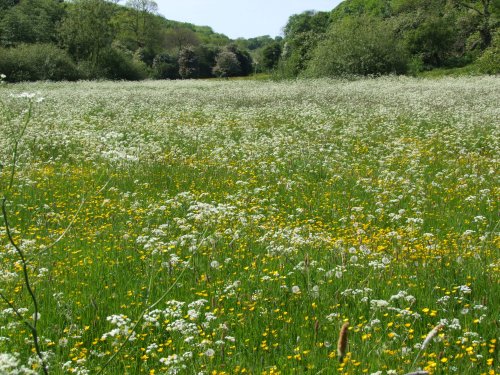
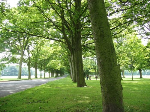
This attractive country park offers a rich and varied country landscape, it is dominated by a large lake ringed by numerous trees.....
The Royal Armouries Museum occupies a dazzling modern building set beside the river. At nightfall it becomes one of the town's.....
Formerly the largest woolen mill in the world, Armley Mills is now a museum that explores the rich industrial past of.....
Enjoy this site?
Please help us stay online by making a donation today - thank you for your kind support.

Follow PicturesOfEngland.com on social media and help share the beauty of England....