Please login or click here to join.
Forgot Password? Click Here to reset pasword
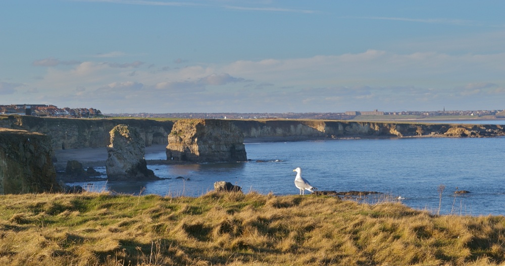
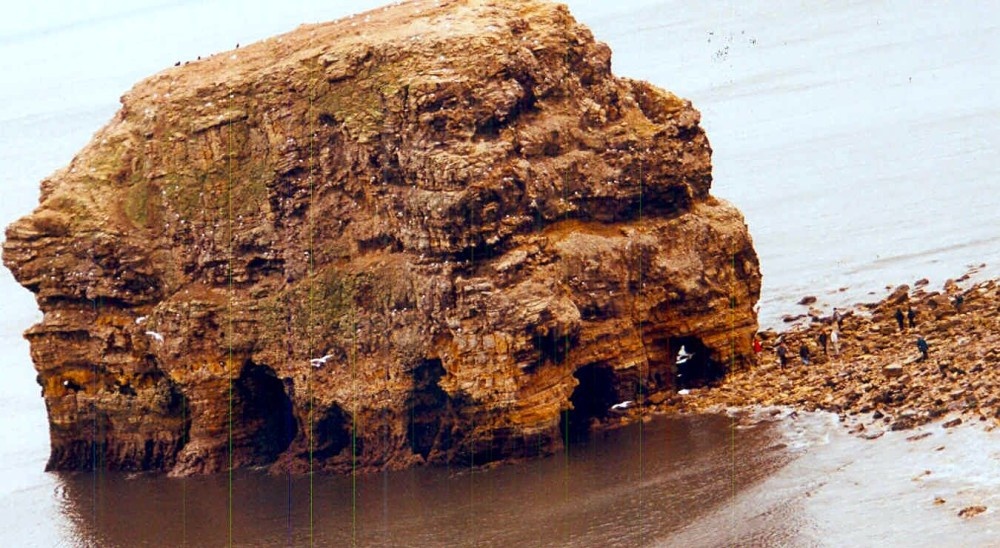
Sadly, the great triumphal arch, that had for so long dominated this beautiful bay, crumbled and collapsed in 1996. The arch was an imposing chunk of limestone that towered 139ft high, over the years it had been a favourite subject for photographs and postcards.
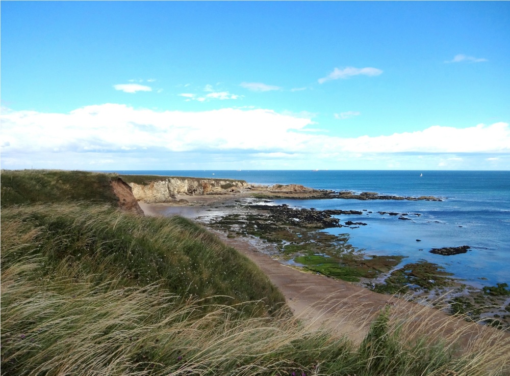
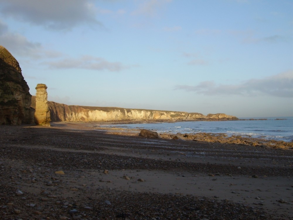
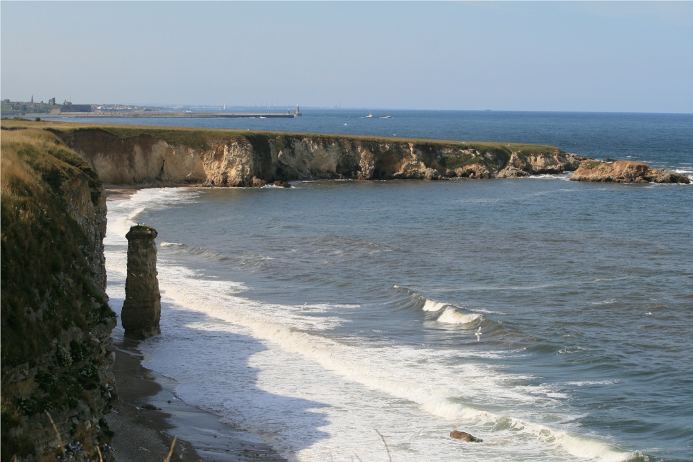
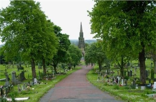
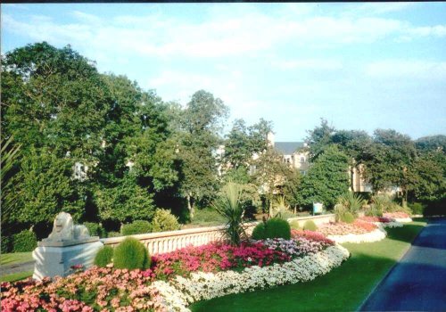
This little spot was favoured by the Edwardians, who flocked here when it became fashionable to picnic beside the sea. Marsden Bay is a deeply curved bay of soft golden sands, it is surrounded almost entirely by crumbling limestone cliffs which provide a haven for colonies of sea-birds. There are spectacular views all along this isolated stretch of coast and it is quite magnificent when, in tumbling rain, a swollen ocean leashes it's might against the massive limestone cliffs.
A flight of steps leads from the car park to the beach, and interestingly, a lift takes visitors to The Grotto, a pub built into caves at th foot of the cliffs. It is believed that the Grotto was built by a miner, who lived there with his family in 1782. There is sailing from the bay and close-by is Souter Lighthouse, built in 1871 and closed in 1988 when it was purchased by the National Trust, is open to the public
in the county of Tyne & Wear
(4.2 miles, 6.7 km, direction W)This is the town that is famous for the 1930's "Hunger March" caused by the intense poverty that followed the closing of the Charles Palmer shipyard. The last of the surviving marchers, Cornelius Whalen died in 2003 at the age of 93...
in the county of Tyne & Wear
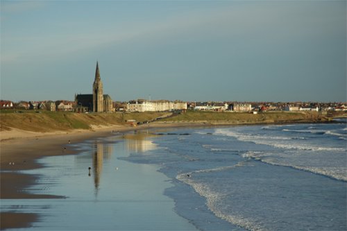
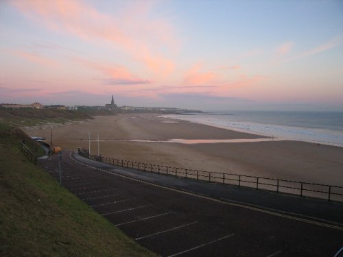
(4.5 miles, 7.3 km, direction NW)Cullercoats has many pleasing aspects including a picturesque 19th century church in a commanding position close to the shoreline...
in the county of Tyne & Wear
(4.9 miles, 7.8 km, direction S)Sunderland was granted a charter in 1145, the charter gave it market rights and thus the town grew slowly from humble beginnings...

in the county of Tyne & Wear
(8.2 miles, 13.1 km, direction SW)Penshaw lies in open countryside between the urban sprawl of Sunderland and Washington...
a Historic City in the county of Tyne & Wear
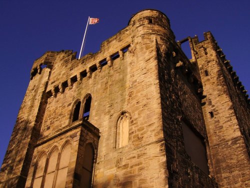
(9.5 miles, 15.4 km, direction W)This important City was known as Pons Aelii in Roman times; the Romans built the first bridge over the River Tyne, it was guarded by a Roman fort which was replaced by a castle.....
All towns in Tyne & Wear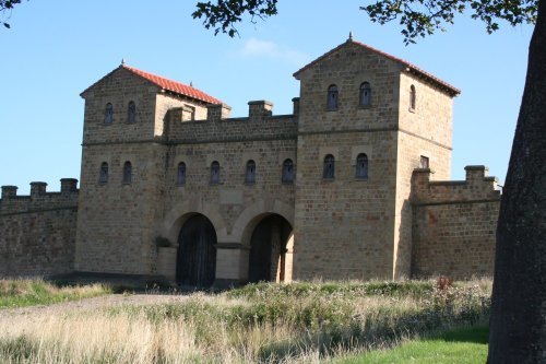
..
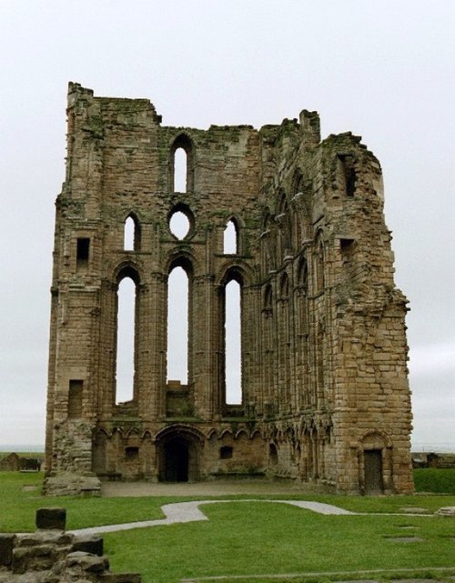
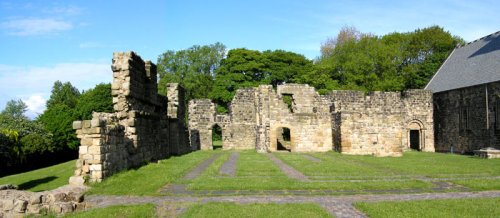
The haunting, intermingaled ruins of Tynemouth Castle and Priory stand on a headland above the River Tyne. Between them they.....

..
..
..
Follow PicturesOfEngland.com on social media and help share the beauty of England....