Please login or click here to join.
Forgot Password? Click Here to reset pasword
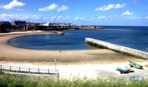
Cullercoats has many pleasing aspects including a picturesque 19th century church in a commanding position close to the shoreline...
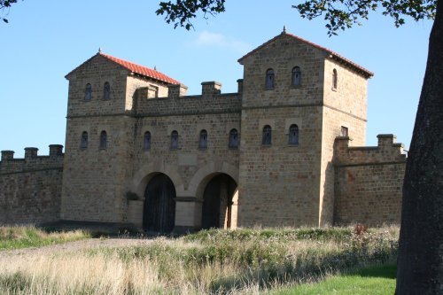
This important City was known as Pons Aelii in Roman times; the Romans built the first bridge over the River Tyne, it was guarded by a Roman fort which was replaced by a castle.....
Sunderland was granted a charter in 1145, the charter gave it market rights and thus the town grew slowly from humble beginnings...
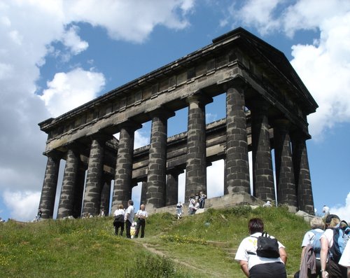
Penshaw lies in open countryside between the urban sprawl of Sunderland and Washington...
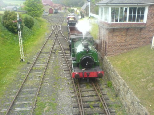
Beamish is famous for its lovely open-air museum which so vividly brings to life how the folk of the region lived at the turn of the 20th century...
..
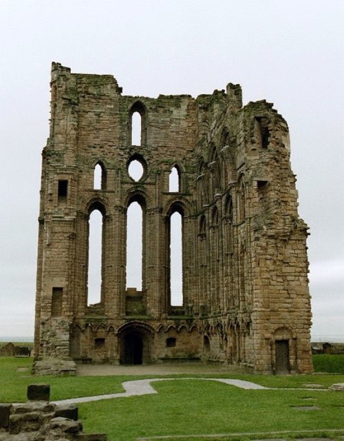
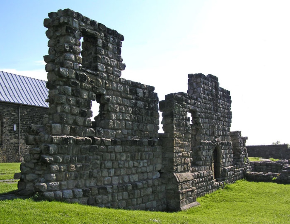
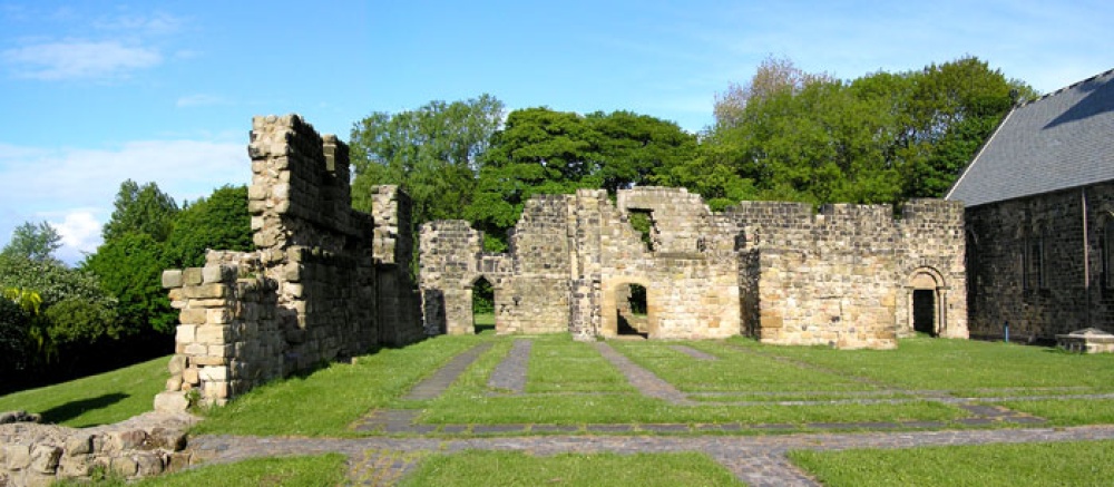
The haunting, intermingaled ruins of Tynemouth Castle and Priory stand on a headland above the River Tyne. Between them they.....

..
..
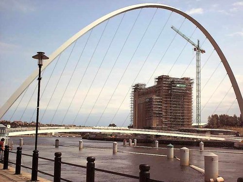
The Baltic Centre is a new £46m art gallery on the banks of the Tyne and is the latest evidence of the area's growing cultural.....
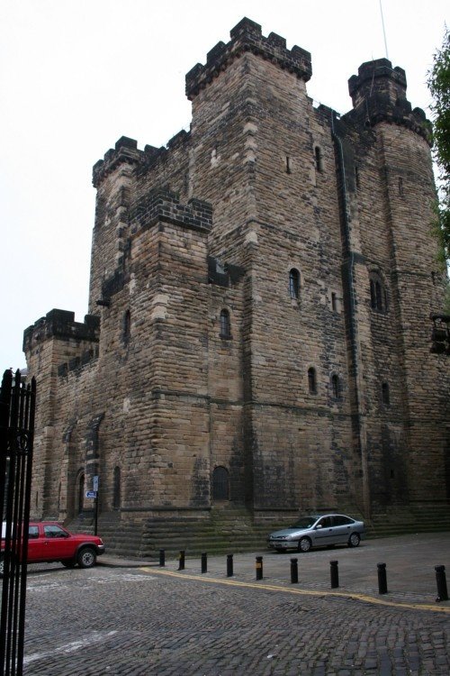
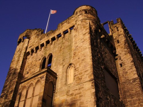
On returning from a raid into Scotland, Robert Curthose, eldest son of William the Conqueror built a castle calling it his `New.....
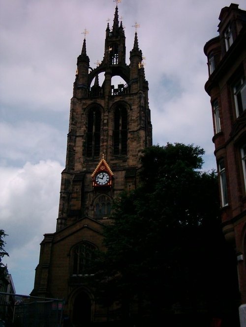
The magnificent cathedral church of St. Nicholas has stood at the heart of Newcastle for many centuries. Its superb lantern.....
Follow PicturesOfEngland.com on social media and help share the beauty of England....