Thorpeness's quaint village sign gives the visitor some hint of the surprises to come, it depicts the House in the Clouds and Windmill, for which the village is most noted...
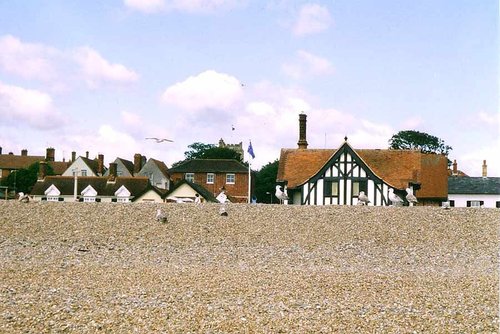
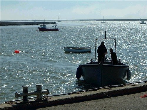
Aldeburgh is a seaside retreat with boundless charm. The history of the resort quite possibly reaches back to Saxon times, certainly during the Middle Ages it was a prosperous port and later it became known as a fishing centre...
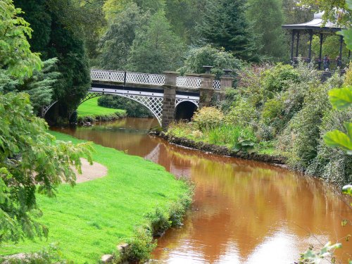
Snape is not simply unique for its beautiful location at the head of the River Alde, it is also unique as a village with an international reputation for music...

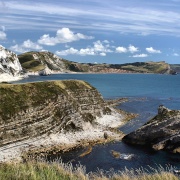
A pretty seaside village along the Suffolk coast, sat along the mouth of the river Blyth, with the neighbouring town of Southwold 1 mile to the North. Within Walberswick there is.....
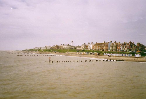
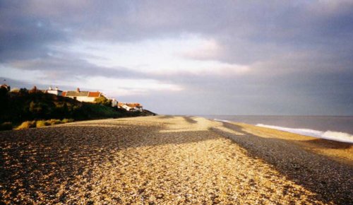
The beach here is of sand and shingle, it is safe for swimming except around the harbour entrance. The restored pier is a great attraction with an amusement arcade at the shore end...
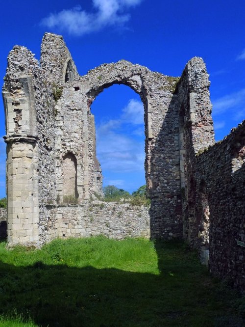
These are the evocative remains of an abbey founded when the order of the land was God first, followed by King and country. The.....
..
Visitors to this lovely town wishing to see the Nature Reserve have to catch a ferry from Orford Quay. The reserve is the.....
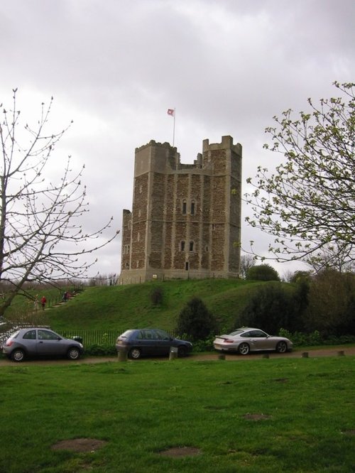
Orford Castle stands guard over the coast from a high vantage position above the River Alde. It was built by Henry II in the.....
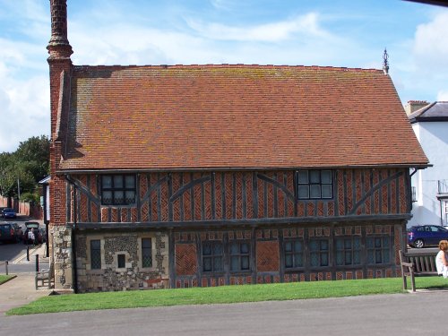
On reaching the curve of Market Hill a quaint, colourful sign proclaims to the visitor that you have arrived in the pretty market.....
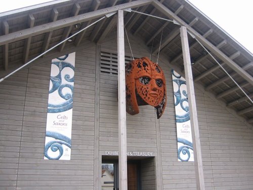
Sutton Hoo can be found amongst the marshy creeks and reedy rivers of Suffolk. It is perhaps most famous as the setting of one.....
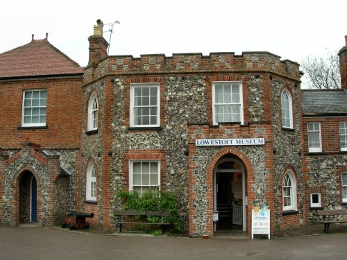
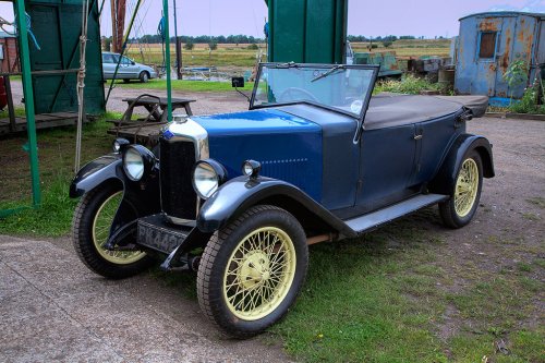
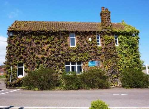
This pleasurable museum can be found located in Broad House, a delightful castellated building situated in Nicholas Everitt.....
Enjoy this site?
Please help us stay online by making a donation today - thank you for your kind support.

Follow PicturesOfEngland.com on social media and help share the beauty of England....