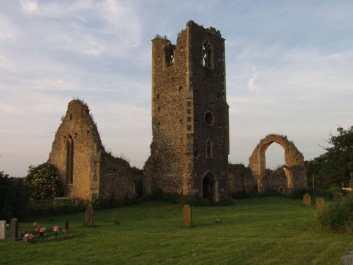
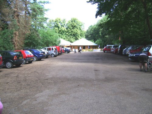
This is a delightful village set in the famous Brecks. It is a lovely place for country lovers, offering miles of attractive country walks...
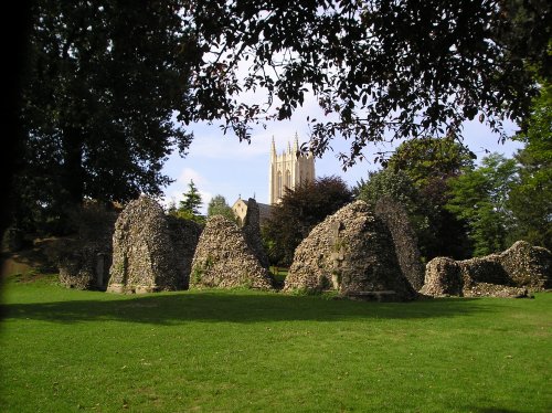
Bury St Edmunds, a charming market town in Suffolk, England, exudes a rich history dating back to the medieval times. With a magnificent cathedral, ancient abbey ruins, and picturesque gardens, this town captivates visitors with its beautiful architecture and quaint streets...
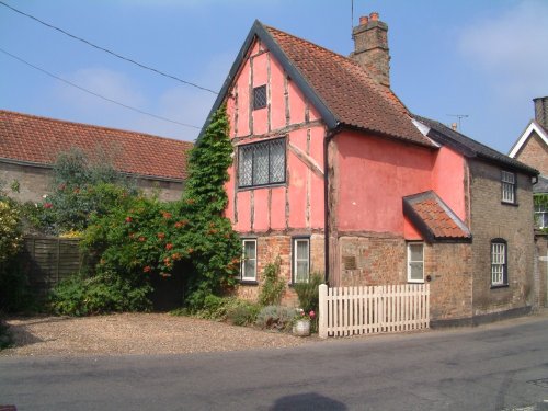
Woolpit has a pleasant medieval village centre around which are spread a variety of pretty cottages and attractive houses...
..

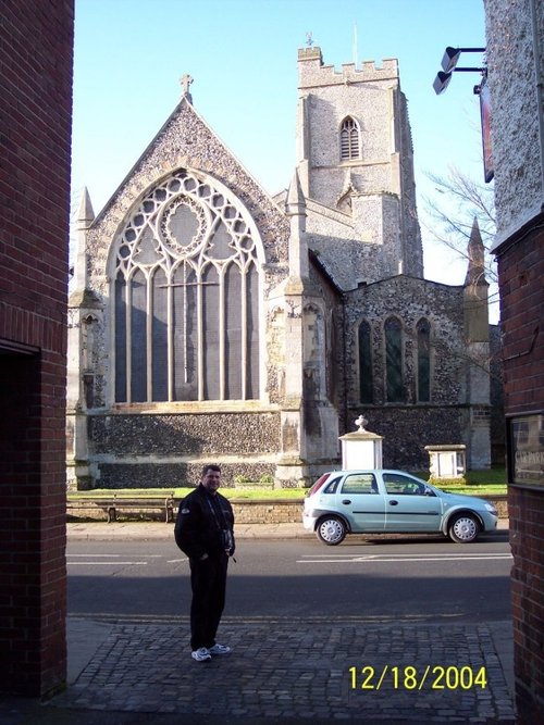
Diss is a beautiful old market town built around the edge of a six acre lake...
..
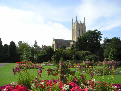
Started in 1503, and now complete after over 500 years (2005) with the addition of a central tower...
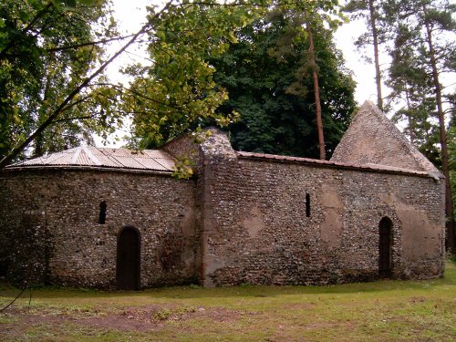
This lovely museum hidden in lush Breckland countryside is set to delight and intrigue visitors of all ages. The atmospheric.....
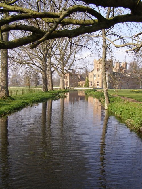
This fascinating house with its striking twin towers to either side of the entrance hall, gables, roof-line turrets and tall.....
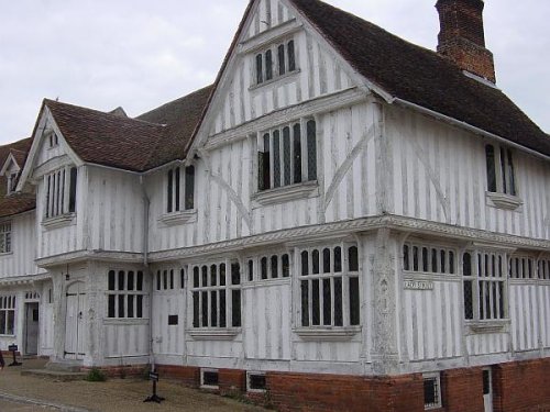
Built by Corpus Christi, Lavenham's Guildhall is a magnificent 16th century timber-framed tudor building, now maintained by The.....

Rising stark against the vast Norfolk skyline, the sight of Wymondham Abbey is at once both intriguing and eye-catching. It is.....
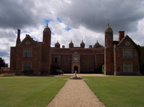
The octagonal towers with their stately onion domes rise above this russet brick building towards the broad Suffolk skies. .....
Enjoy this site?
Please help us stay online by making a donation today - thank you for your kind support.

Follow PicturesOfEngland.com on social media and help share the beauty of England....