If you would like to add a description of Covehithe, please use our Covehithe forum here. To upload your Covehithe photography and create your very own 'Pictures of England Gallery', click here or here to join the site and become part of the Pictures of England community, or simply see below for nearby recommended towns, attractions, and Covehithe accommodation.
The beach here is of sand and shingle, it is safe for swimming except around the harbour entrance. The restored pier is a great attraction with an amusement arcade at the shore end...

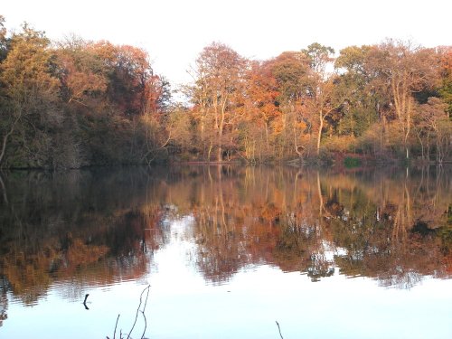
A pretty seaside village along the Suffolk coast, sat along the mouth of the river Blyth, with the neighbouring town of Southwold 1 mile to the North. Within Walberswick there is.....
This is now a sunny holiday resort but for many years fishing played an important part in the history of the development of Lowestoft...
A town of picturesque buildings, with many relaxing places in which to quietly roam...

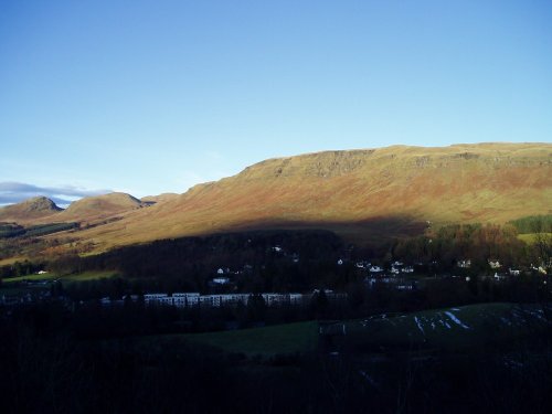
Found nestling in a corner of the north-east Suffolk countryside is the charming, tranquil village of Somerleyton...
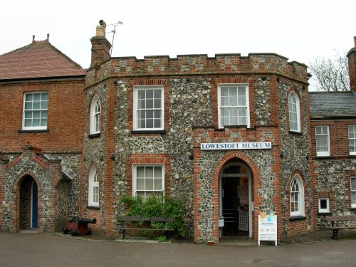
This pleasurable museum can be found located in Broad House, a delightful castellated building situated in Nicholas Everitt.....

..
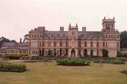
Somerleyton Hall, a splendid Victorian residence of palatial proportions was the creation of Sir Morgan Peto, a clever.....
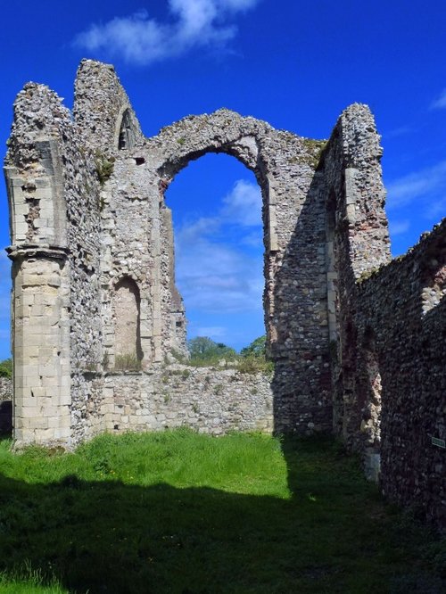
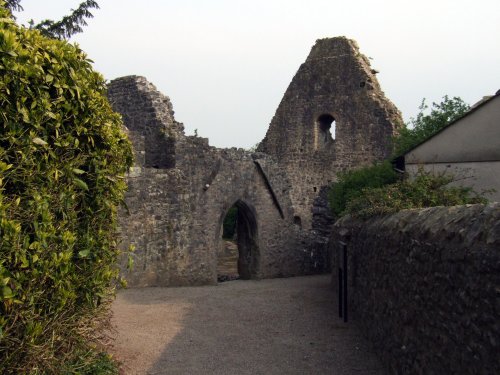
These are the evocative remains of an abbey founded when the order of the land was God first, followed by King and country. The.....
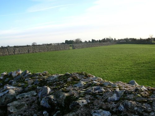
The ruins of Burgh Castle are in the care of English heritage, they consist of little more than the remains of impressive Roman.....
..
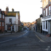
On reaching the curve of Market Hill a quaint, colourful sign proclaims to the visitor that you have arrived in the pretty market.....
Enjoy this site?
Please help us stay online by making a donation today - thank you for your kind support.

Follow PicturesOfEngland.com on social media and help share the beauty of England....