A town of picturesque buildings, with many relaxing places in which to quietly roam...
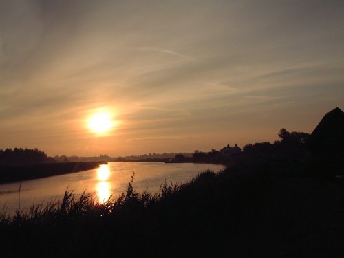
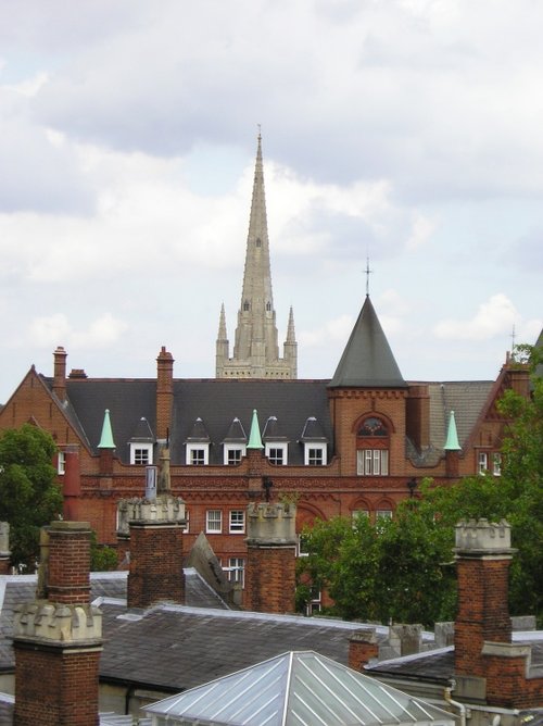
Reedham is ideally placed for cruising the waters of the Broads National Park, exploring the North Norfolk and North Suffolk coastlines and for discovering the historic city of Norwich...

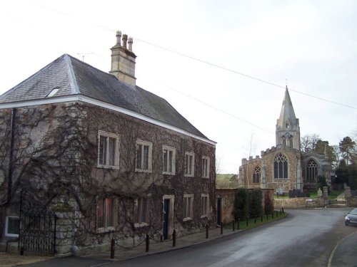
Found nestling in a corner of the north-east Suffolk countryside is the charming, tranquil village of Somerleyton...
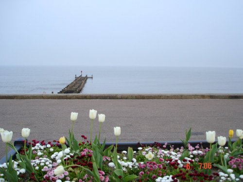
This is now a sunny holiday resort but for many years fishing played an important part in the history of the development of Lowestoft...
A pretty seaside village along the Suffolk coast, sat along the mouth of the river Blyth, with the neighbouring town of Southwold 1 mile to the North. Within Walberswick there is.....
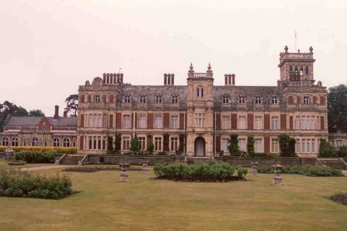
Somerleyton Hall, a splendid Victorian residence of palatial proportions was the creation of Sir Morgan Peto, a clever.....
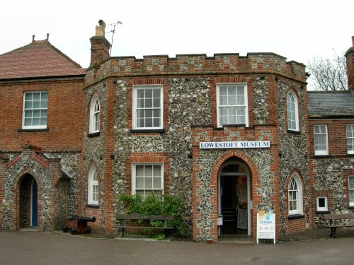
This pleasurable museum can be found located in Broad House, a delightful castellated building situated in Nicholas Everitt.....
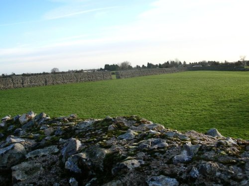
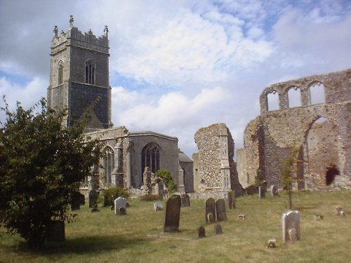
The ruins of Burgh Castle are in the care of English heritage, they consist of little more than the remains of impressive Roman.....
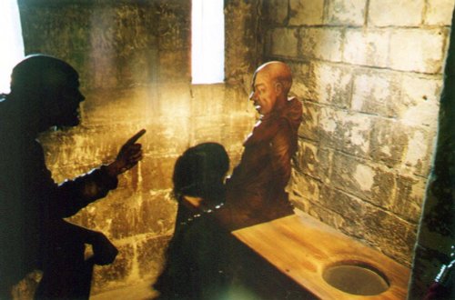
This magnificent 13th century castle is one of Norfolk's premier tourist attractions. It was originally built as a Royal palace,.....
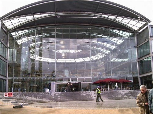
A unique landmark building in the heart of the city of Norwich, The Forum is a dynamic centre for learning, information and.....
In a town that is full of ancient well preserved streets and buildings which retain their medieval appearance and atmosphere, it.....

..
Enjoy this site?
Please help us stay online by making a donation today - thank you for your kind support.

Follow PicturesOfEngland.com on social media and help share the beauty of England....