If you would like to add a description of Trentham, please use our Trentham forum here. To upload your Trentham photography and create your very own 'Pictures of England Gallery', click here or here to join the site and become part of the Pictures of England community, or simply see below for nearby recommended towns, attractions, and Trentham accommodation.
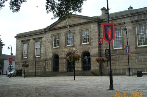
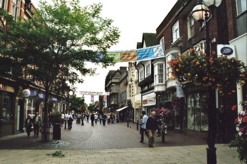
Town known best as "the potteries" but in reality Stoke-on-Trent is a 1906 amalgamation of six towns, each of which still maintain their own individuality and character...
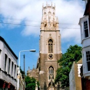
The sheer scale of the height of this village with the quaint sounding name has made it famous, for it is believed that on a clear day the hill is visible to no less than five counties...
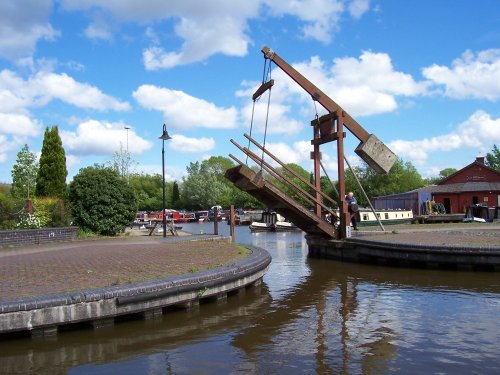
Attractively situated on the banks of the Caldon Canal in the beautiful Churnet Valley. Froghall offers visitors the opportunity to experience a diverse range of landscapes including fine watermeadows with a wealth of wildlife...
Set in a landscape of contrasts with constantly changing scenery from the Royal hunting forests of Cannock Chase to the breweries of Burton, it is pleasurable to come across the.....
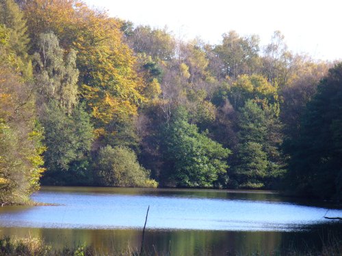
A pretty village with a delightful cluster of cottages and houses with lovely gardens, bordered by woods at the south end of the picturesque Rudyard Reservoir...
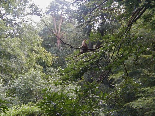
This is an outstanding tourist attraction for children and adults of all ages. Here, in a vast wilderness of trees 140 Barbary.....
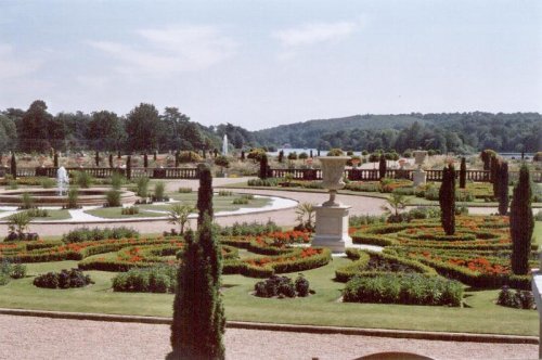
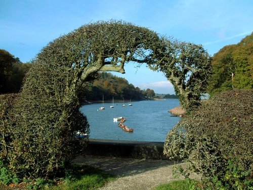
These pictures are of the garden and lake of Trentham Gardens, Stoke-on-Trent, Staffordshire. This was the former home of the.....
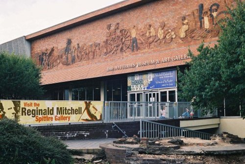
This is the foremost museum for fine porcelain produced over several centuries in the famous potteries of Staffordshire. Here,.....
..
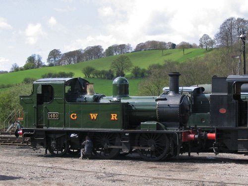
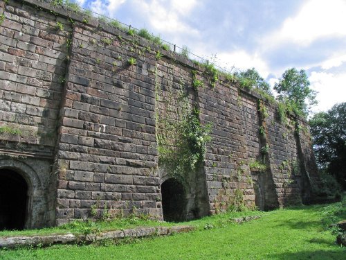
The Churnet Valley Railway is a preserved standard gauge heritage railway to the east of Stoke-on-Trent in Staffordshire,.....
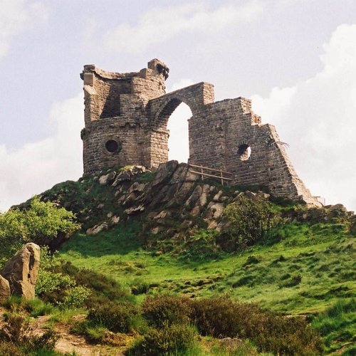
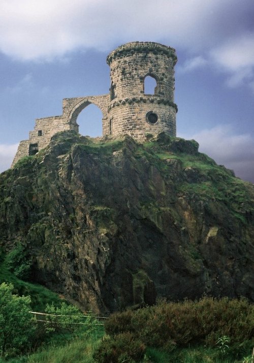
Mow Cop Castle is a Grade 2 listed building and dates back to 1754 when Randle Wilbraham of nearby Rode Hall built it as a.....
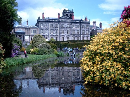
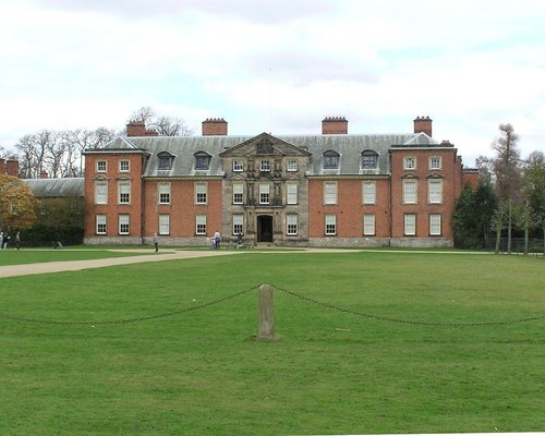
This remarkable garden surrounds a grand house with a history of fluctuating fortunes. The gardens were originally the creation.....
Enjoy this site?
Please help us stay online by making a donation today - thank you for your kind support.

Follow PicturesOfEngland.com on social media and help share the beauty of England....