This charming house is approached via a broad avenue of limes. The building is impressive, with rich red brickwork with stone dressings and stone balustrade above second floor level. Behind the visible facade which shows a three-storey structure, you can immediately see it comprises of four floor levels.
Whitmore Hall is charmingly situated in a peaceful rural setting around three or four miles distant from the famous Potteries. The house unites the estate village and the medieval church, all are surrounded by the woods of Swinnerton Old Park, giving it a strictly "manorial" feel. Perhaps this is largely due to the fact that this estate can trace its history back to the 12th century when it was held by John de Whitmore. Since this time, the estate has always been passed down by inheritance.
In the 14th century Elizabeth de Whitmore married into the de Boghay family, later in 1546 Alice de Boghay married Edward Mainwaring; and there have been Mainwaring's at Whitmore ever since.
Visitors are immediately impressed by the mid 19th century porch, this leads through to a beautiful Georgian entrance hall graced with twin Corinthian columns. However, within its 17th century casing of brick beats the heart of a much older timber framed house.
The stables block is a feature of Whitmore, its range of buildings is particularly admired for its wealth of early 17th century craftsmanship in wood; the horses stalls are noted for their beautifully turned columns and arches, just like the rest of the estate, these stables are wonderfully well preserved.
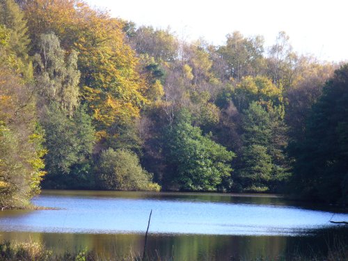
Whitmore Hall is surrounded by a beautifully landscaped park, and behind the house lies a lovely lake with pleasant lake-side spots and wildlife.
Whilst visiting Whitmore Hall why not make a tour of the village? Here there is a lovely old church and a 16th century coaching inn to see. Interestingly, both village and estate are mentioned in the Doomsday Book.
in the county of Staffordshire
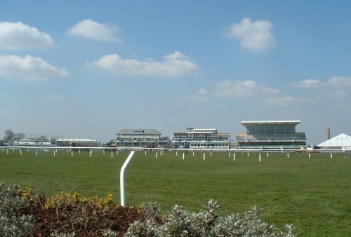
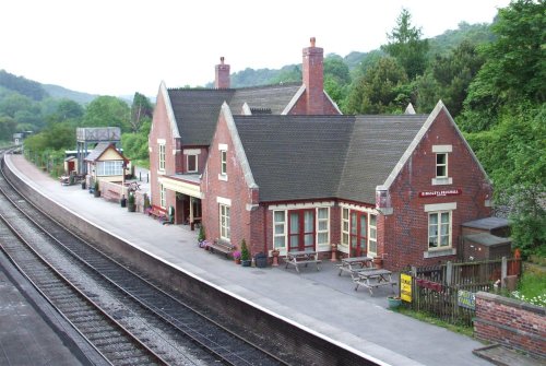
(5.0 miles, 8.1 km, direction NE)Town known best as "the potteries" but in reality Stoke-on-Trent is a 1906 amalgamation of six towns, each of which still maintain their own individuality and character...
in the county of Staffordshire
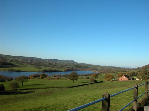
(9.5 miles, 15.3 km, direction N)The sheer scale of the height of this village with the quaint sounding name has made it famous, for it is believed that on a clear day the hill is visible to no less than five counties...
a Historic Market Town in the county of Cheshire
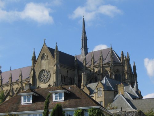
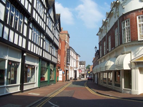
(12.0 miles, 19.3 km, direction NW)Today, Nantwich is a busy bustling place of business and commerce that still manages to retain its unique 'Elizabethan' flavour...
in the county of Staffordshire
(13.1 miles, 21.1 km, direction NE)A pretty village with a delightful cluster of cottages and houses with lovely gardens, bordered by woods at the south end of the picturesque Rudyard Reservoir...
in the county of Staffordshire
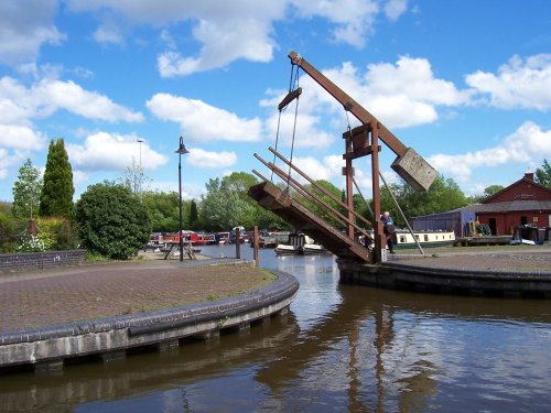
(13.3 miles, 21.5 km, direction E)Attractively situated on the banks of the Caldon Canal in the beautiful Churnet Valley. Froghall offers visitors the opportunity to experience a diverse range of landscapes including fine watermeadows with a wealth of wildlife...
All towns in Staffordshire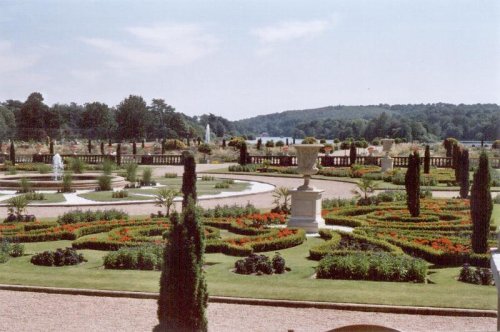
These pictures are of the garden and lake of Trentham Gardens, Stoke-on-Trent, Staffordshire. This was the former home of the.....
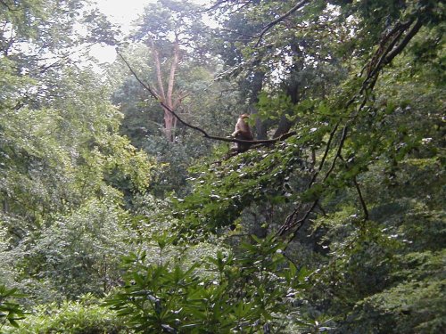
This is an outstanding tourist attraction for children and adults of all ages. Here, in a vast wilderness of trees 140 Barbary.....
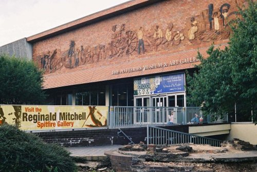
This is the foremost museum for fine porcelain produced over several centuries in the famous potteries of Staffordshire. Here,.....
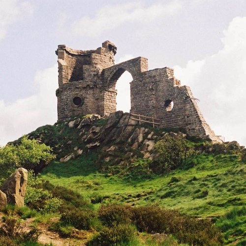
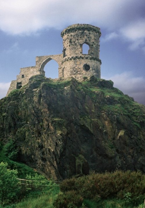
Mow Cop Castle is a Grade 2 listed building and dates back to 1754 when Randle Wilbraham of nearby Rode Hall built it as a.....
..
Enjoy this site?
Please help us stay online by making a donation today - thank you for your kind support.

Follow PicturesOfEngland.com on social media and help share the beauty of England....