If you would like to add a description of Hollinsclough, please use our Hollinsclough forum here. To upload your Hollinsclough photography and create your very own 'Pictures of England Gallery', click here or here to join the site and become part of the Pictures of England community, or simply see below for nearby recommended towns, attractions, and Hollinsclough accommodation.

This barely spoilt town offers an exciting opportunity to enjoy a town crammed with beautiful buildings whilst exploring the high upland regions of England's glorious Peak District National Park...
Hartington is a small village centred around a medieval market place, with attractive 18th and 19th century buildings...
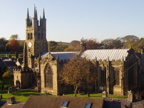
Tideswell is famous for its superb, large church, known as the "Cathedral of the Peak"...
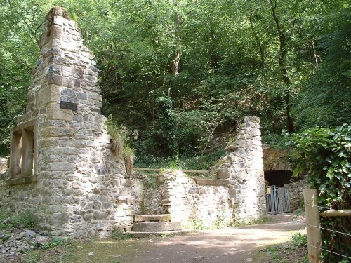
The village was a centre for candle making, noted for lead mining and made famous by the discovery of Ashford marble which was first quarried by Henry Watson in 1748...
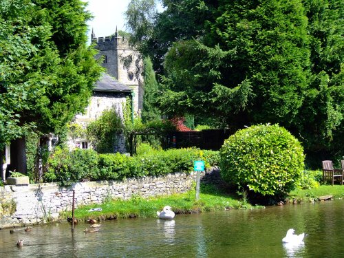
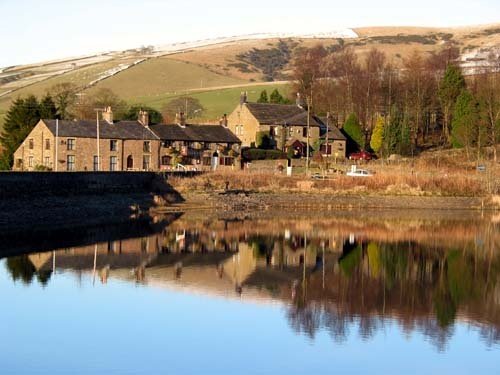
A pretty village with a delightful cluster of cottages and houses with lovely gardens, bordered by woods at the south end of the picturesque Rudyard Reservoir...
..
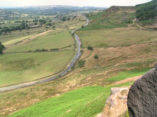
The spectacular Roaches are situated at the end of the Pennine Way, these together with oddly named Hen Cloud contrive between.....
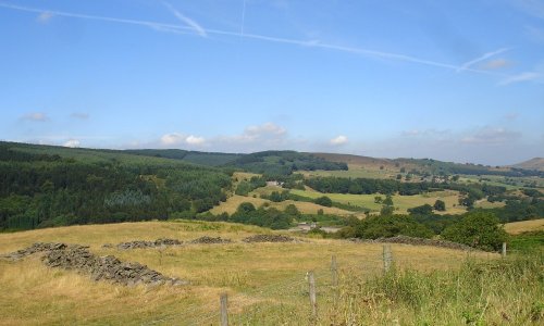
Goyt's Moss lies in the wild and beautiful Goyt Valley, its steep slopes sweep down into the tranquil waters of the Fernlee.....
This is one of the Peak Districts hidden gems, not only is the scenery highly picturesque but the region is full of interesting.....
Dating form the 18th Century and standing in beautiful surroundings, on the edge of Macclesfield Forest Reservoir, this stone.....

Tegg's Nose Country Park comprises mainly of wild untamed countryside high above Macclesfield. It offers nature lovers many.....
The River Dove flows through one of England's loveliest valleys. Though little more than a mile long, Dove Dale shows a variety.....
Follow PicturesOfEngland.com on social media and help share the beauty of England....