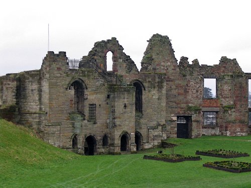
This picturesque little town in the Dove Valley is dominated by the ruins of the medieval castle...
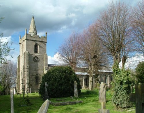
Church Broughton is an attractive Derbyshire village lying in open countryside that is perhaps best noted for its ancient church dedicated to Saint Michael...
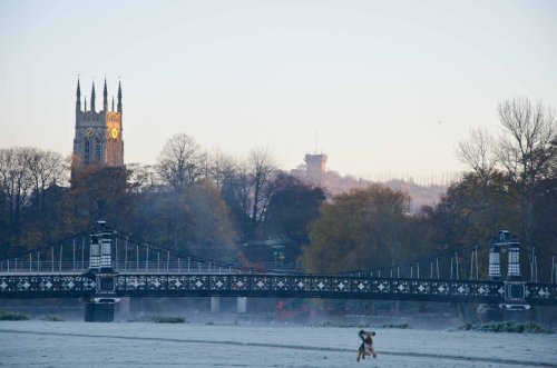
Burton-on-Trent is an attractive town, it has a pleasing market place surrounded by pleasant properties, some being timber-frame black and white...
Set in a landscape of contrasts with constantly changing scenery from the Royal hunting forests of Cannock Chase to the breweries of Burton, it is pleasurable to come across the.....
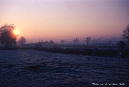
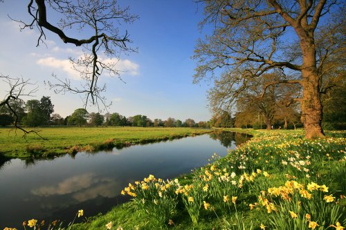
Denstone is a peaceful village set in the midst of rural Staffordshire countryside, where farm meadows are watered from a myriad of sparkling rivers flowing down from the Peak District National Park...
Shugborough Hall with its vast surrounding estate has been the seat of the Earls of Lichfield, the Anson family, ever since it.....
This delightful historic house which was built in the early 17th century for the Lords Vernon, has all the ingredients for a.....
Once upon a time this vast area was the 'Happy Hunting' ground of Kings and Queens of England who came here to enjoy a good day's.....
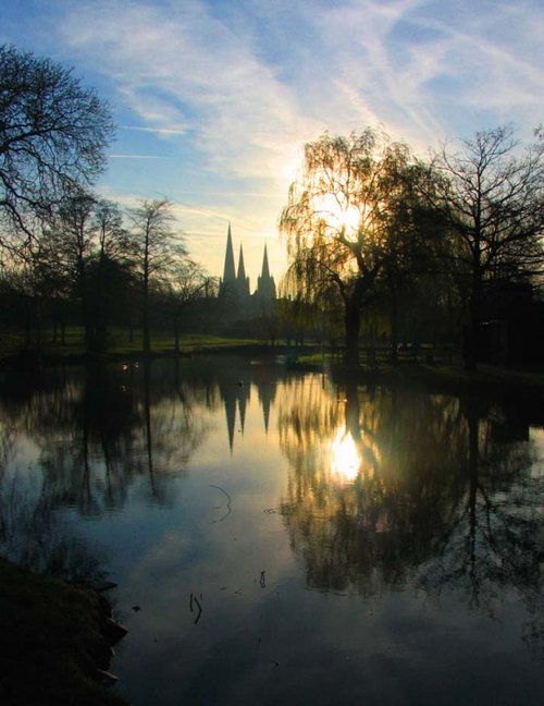
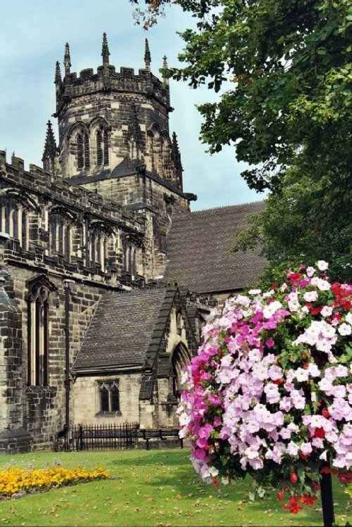
Most recently Lichfield Cathedral has been the scene of an important archaeological find which has astounded the world of.....
..
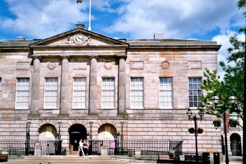
Stafford's handsome Shire Hall Gallery with its impressive porticoed frontage, served for a time as the local Crown Court. .....
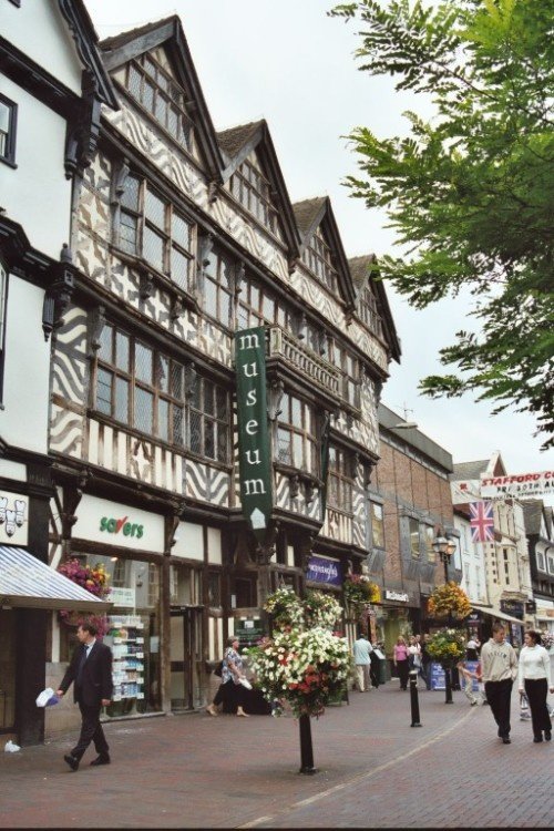
Dominating Stafford's Greengate Street, is an impressive Elizabethan building that has stood at the centre of the town for over.....
Enjoy this site?
Please help us stay online by making a donation today - thank you for your kind support.

Follow PicturesOfEngland.com on social media and help share the beauty of England....