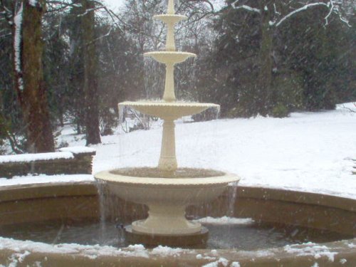
If you would like to add a description of Ulley, please use our Ulley forum here. To upload your Ulley photography and create your very own 'Pictures of England Gallery', click here or here to join the site and become part of the Pictures of England community, or simply see below for nearby recommended towns, attractions, and Ulley accommodation.
This town was formerly a Saxon market town which remained largely unaltered until the Industrial Revolution...
The town was mentioned in the Doomsday Book, and several historic properties can be found in the region from shortly after this time, of these, of particular note are the handsome ruins of Roche Abbey, a Cistercian foundation of 1147...
..
The dense spread of Worksop in Nottinghamshire meets with some seriously picturesque countryside, it is fortunate to be ringed by two rivers, the Clumber which borders Clumber Country Park, and the River Ryton...
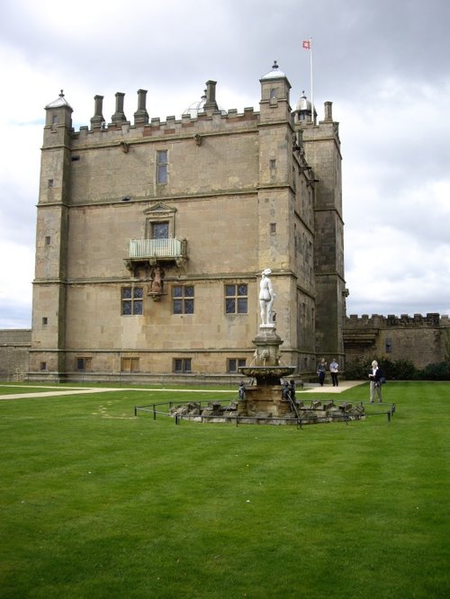
Bolsover is a small town lying 5 miles east of Chesterfield. It occupies a picturesque valley setting, watched over by 17th century Bolsover Castle which stands on the site of a former fortress of Norman times...
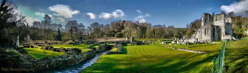
The evocative remains of Roche Abbey rising from a landscape laid out by Capability Brown present an awe-inspiring sight,.....
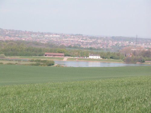
Thrybergh Country Park evolved out of Thrybergh Reservoir built in the 1800's to supply the borough of Doncaster with water. .....
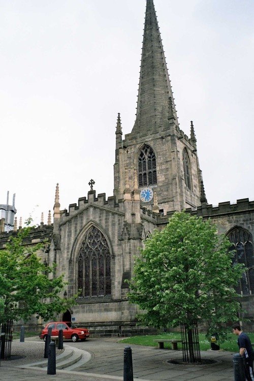
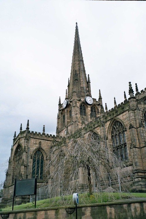
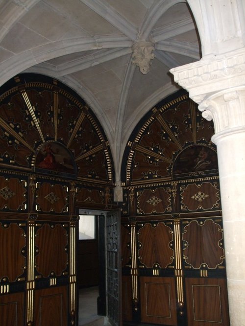
This cathedral dates mostly from the 15th century, it was the former parish church of St.Peter and St.Paul, its tower and.....
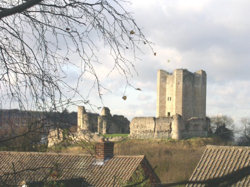
The dilapidated ruins of Conisbrough Castle make an impressive sight, particularly its keep, which is unusual in design. The.....
..
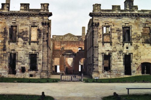
The early morning sun streams down on a piece of Derbyshire's proud heritage, as into view come the magnificent ruins of Bolsover.....
..
Enjoy this site?
Please help us stay online by making a donation today - thank you for your kind support.

Follow PicturesOfEngland.com on social media and help share the beauty of England....