If you would like to add a description of Sheffield, please use our Sheffield forum here. To upload your Sheffield photography and create your very own 'Pictures of England Gallery', click here or here to join the site and become part of the Pictures of England community, or simply see below for nearby recommended towns, attractions, and Sheffield accommodation.
This town was formerly a Saxon market town which remained largely unaltered until the Industrial Revolution...
The town now takes advantage of its superb position, operating mostly as an attractive place for tourists...
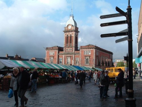
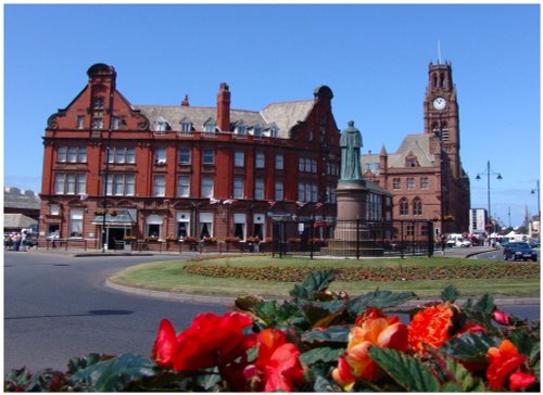
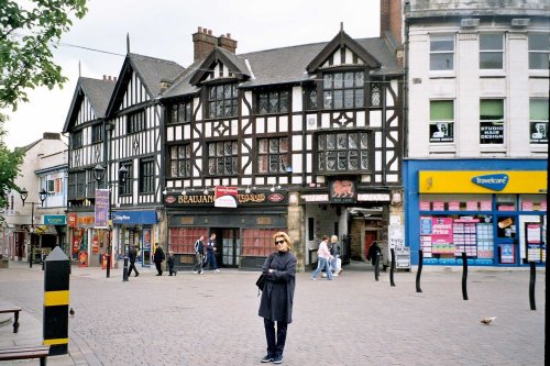
Chesterfield is an attractive town close to the dramatic peaks of the Peak District National Park. It is well known for its strange landmark, the crooked spire of its parish.....
Setting its chilling history to one side, this is a village with a lot to offer. It is hidden away in a matchless location above the limestone peaks of Middleton Dale in the Peak District...
Set amidst the stark loneliness of the High Peak the village of Baslow is surrounded by some of the finest historic properties to be found in Derbyshire...
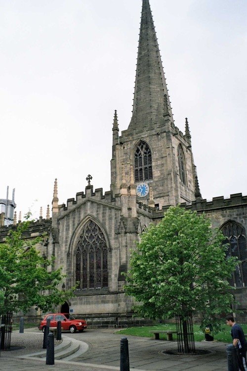
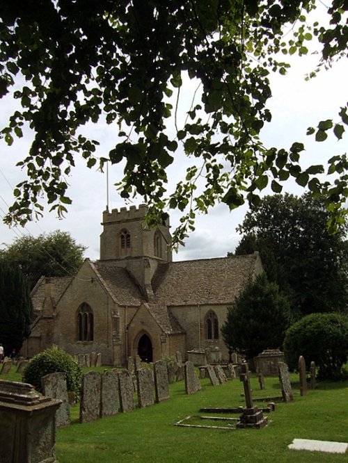
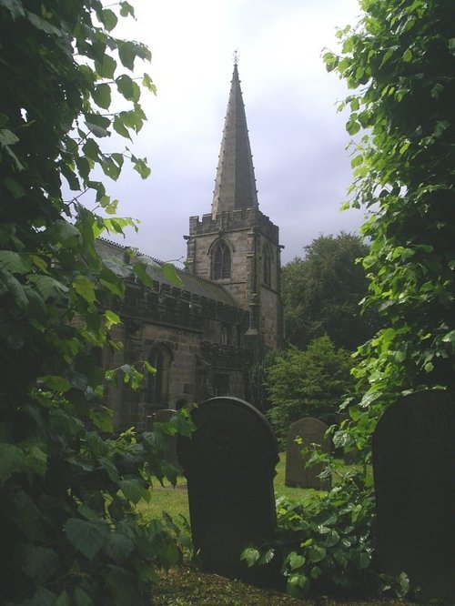
This cathedral dates mostly from the 15th century, it was the former parish church of St.Peter and St.Paul, its tower and.....
..
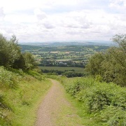
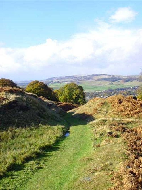
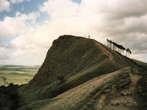
Stanage Edge is an elevated gritstone edge or enscarpment that stretches for around 4 miles giving extensive views across the.....
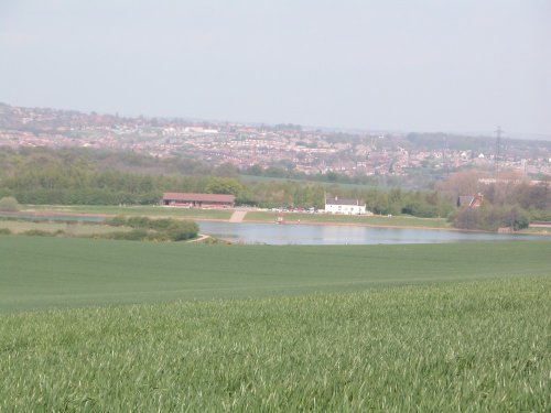
Thrybergh Country Park evolved out of Thrybergh Reservoir built in the 1800's to supply the borough of Doncaster with water. .....
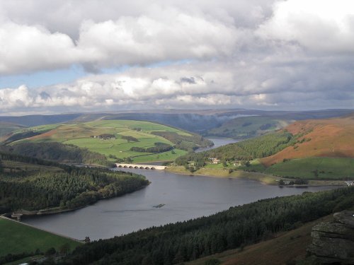
This beautiful reservoir is found in the undulating Derbyshire countryside. It is the lowest of the Peak districts three.....
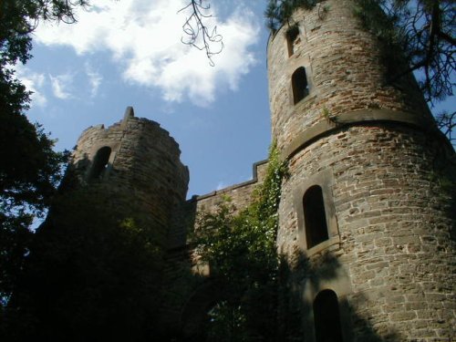
Wentworth Castle Gardens have been the subject of an ambitious plan to restore the magnificent estate, once home to the Earls of.....
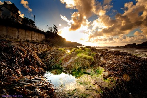
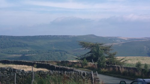
The varied and seductive scenery of the Peak District National Park rivals the scenic beauty of any where in the land. It is an.....
Follow PicturesOfEngland.com on social media and help share the beauty of England....